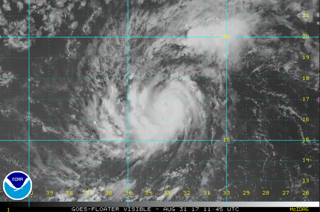
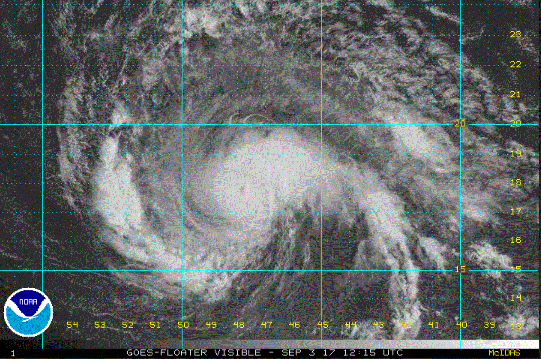
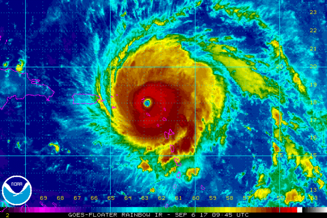
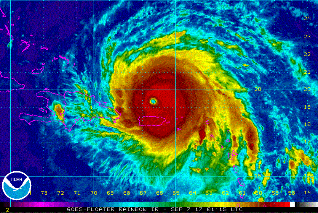
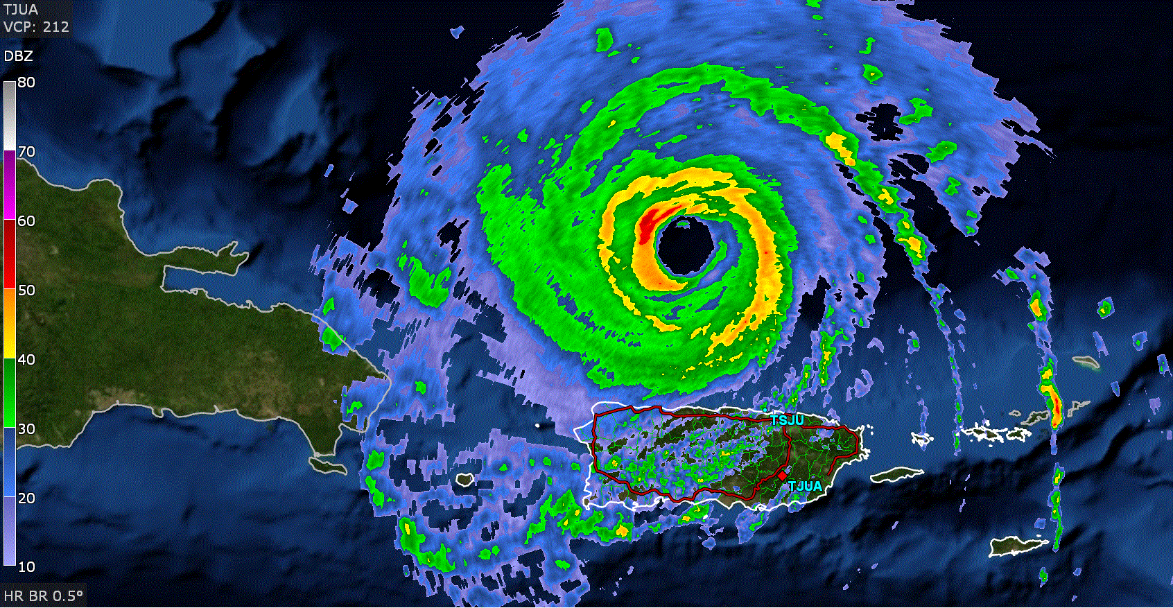
Irma a tropical storm
The Weather Situation
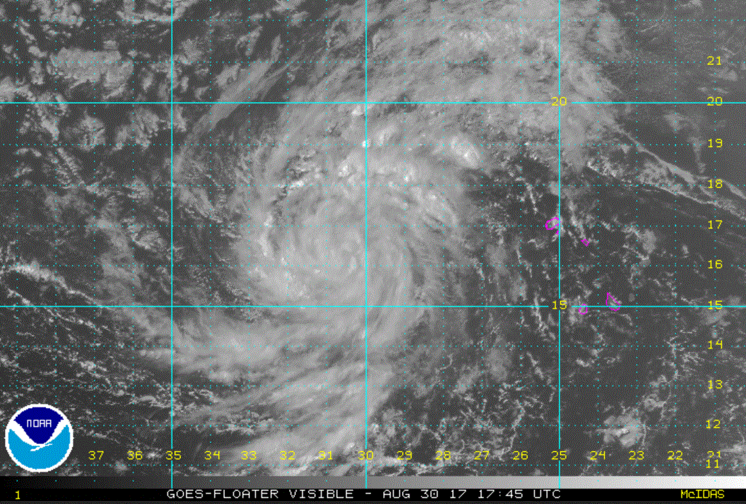
The disturbance near Cabo Verde has developed enough convection to be classified.
Current Tropical Weather
As of 3:00 PM AST Irma was centered at 16.4 N / 30.3 W or 470 miles west of the Cabo Verde Islands. It was moving west at 13 mph. Top sustained winds are estimated at 50 mph. Pressure was estimated at 1004 MB.
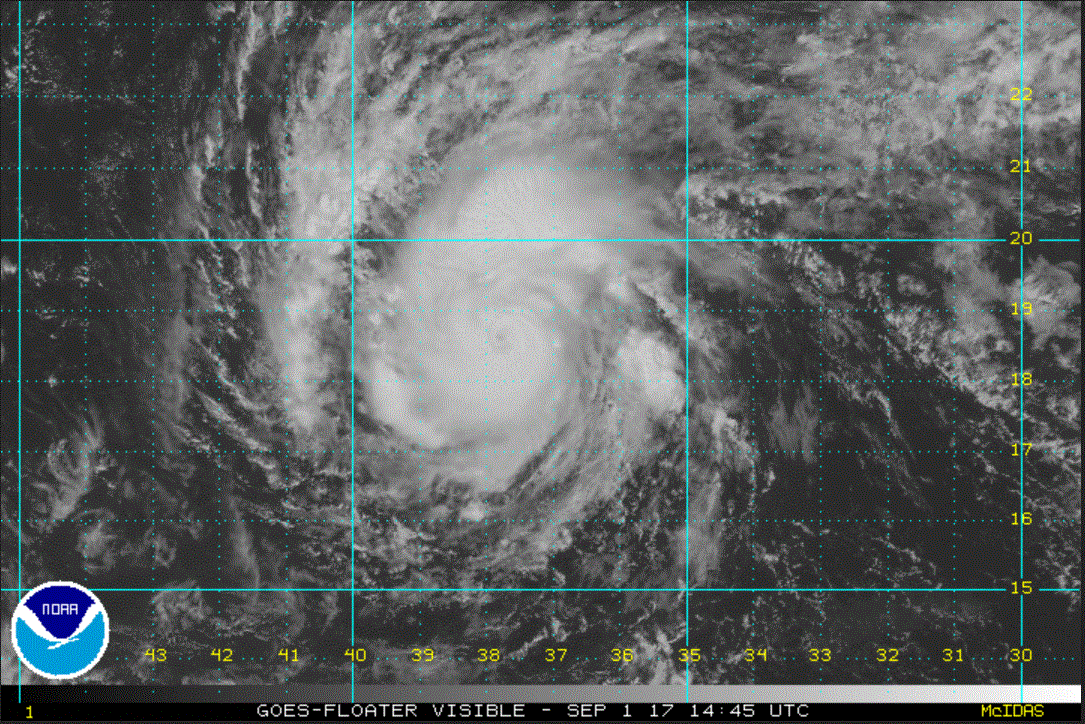
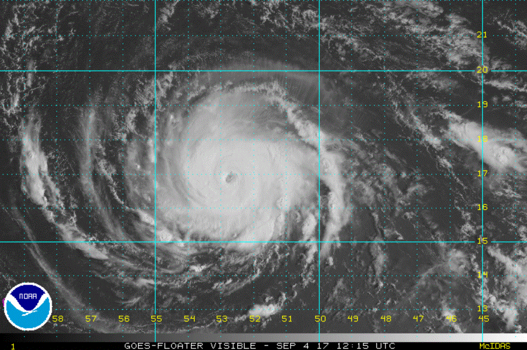
Tropical Weather Forecast:
Irma is expected to become a hurricane. Forecast models have varied over the past several days on it path beyond the next 5-7 days. Interests from the Caribbean to Bermuda to the U.S. should monitor Irma closely.
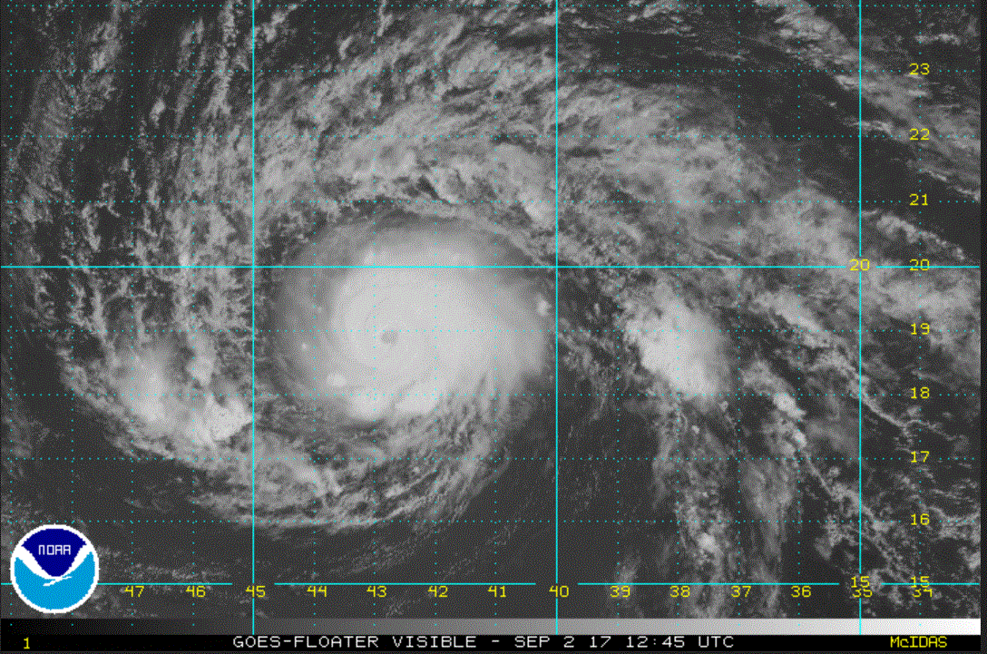
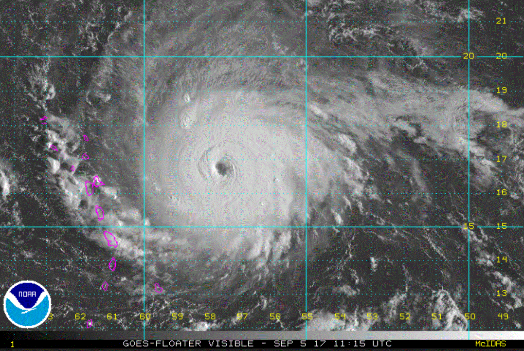
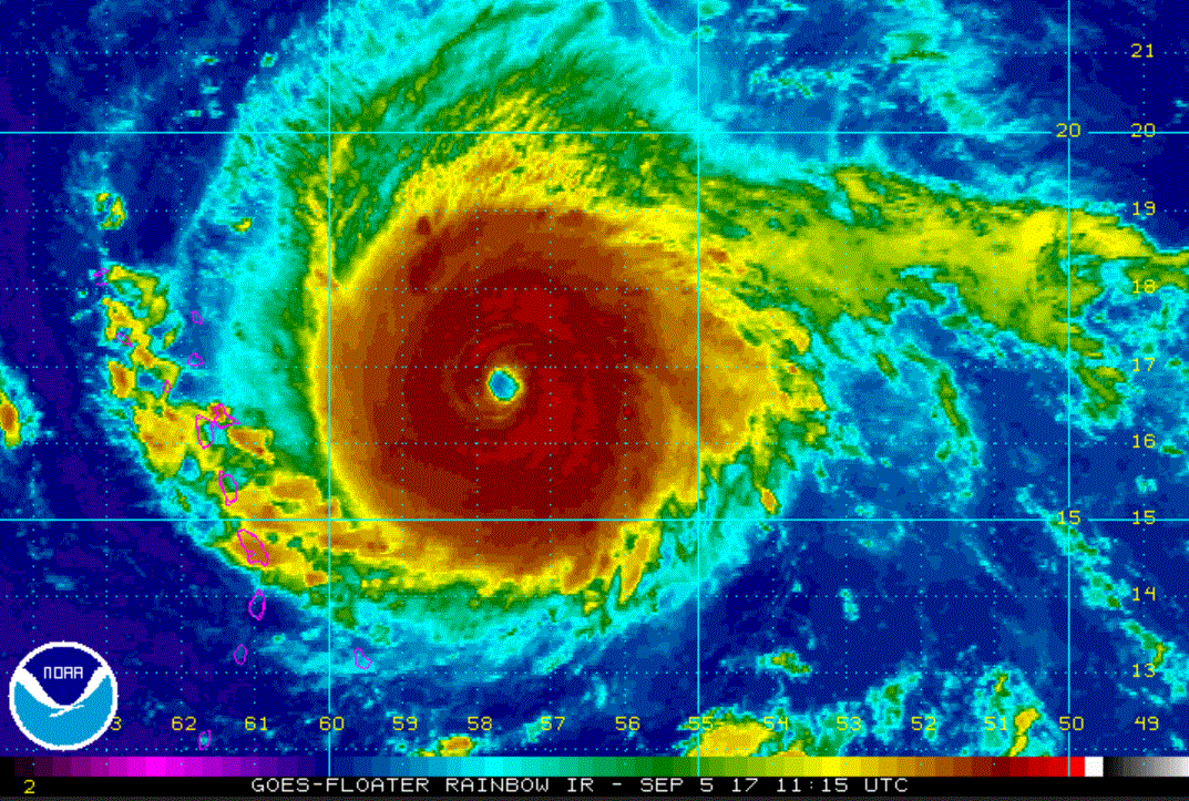
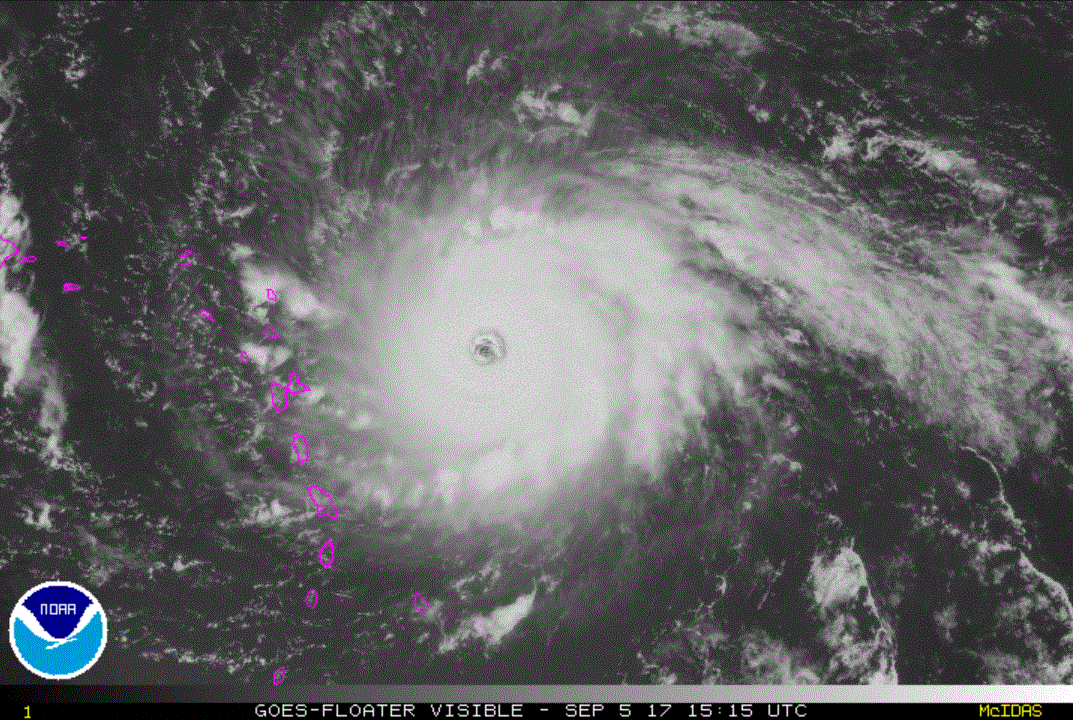
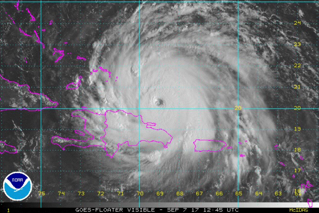
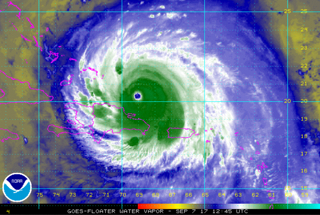
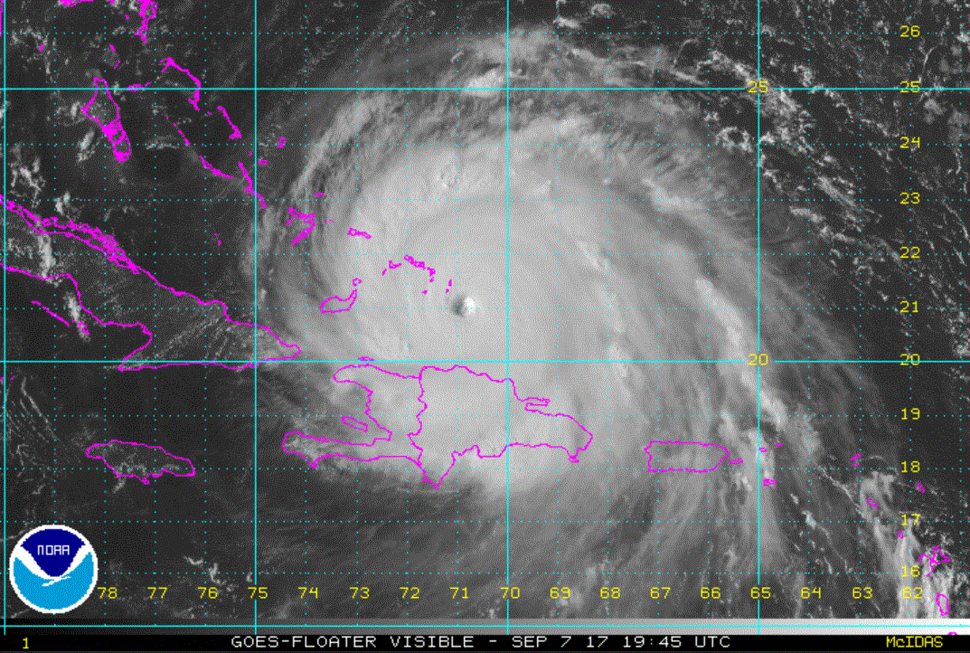
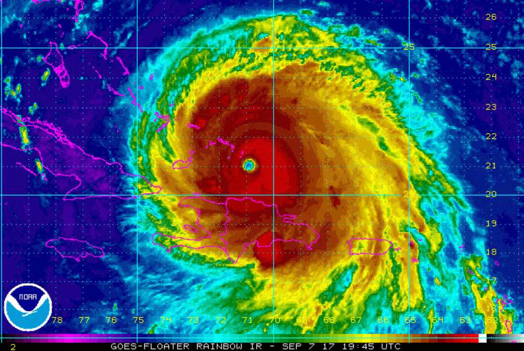
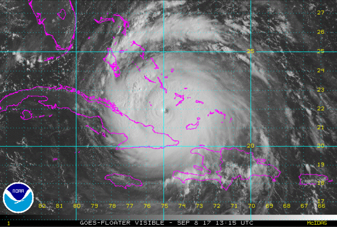
Tropicast: Visible Satellite