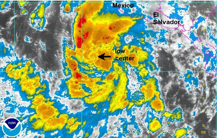
Carlotta south of Mexico
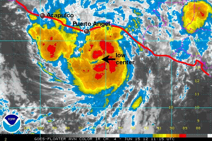
Carlotta is organizing quickly with much improved banding this morning. Because of this we are estimating top sustained winds a little higher than NHC. Carlotta is expected to strengthen to a hurricane by the time it is near the southern coast of Mexico by late tomorrow. Preparations for Carlotta should be completed by the end of the day today. As of this morning, some heavy squalls are already just south of the Gulf of Tehuantepec and boaters are urged caution. Heavy rain will pick up on the coast by this evening and winds will pick up steadily during the day Friday.
As of 8 am edt / 5 am pdt Carlotta was centered near 10.6 N / 93.4 W or about 600 miles se of Acapulco, Mexico. Movement is nw at about 10 mph. Top sustained winds are estimated at 50 mph (NHC 45 mph). Pressure is estimated at 1001 mb.
Forecast:
Carlotta is predicted to move toward the coast of southern Mexico by Friday night and stall near the coast. It should weaken at that point as it interacts with land.
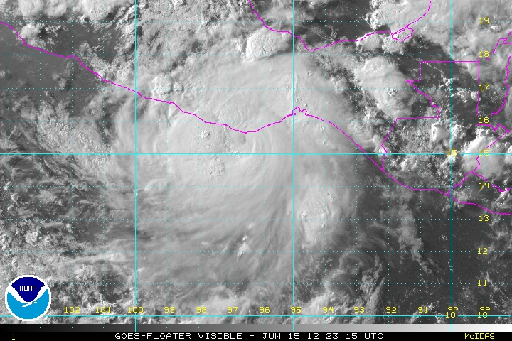
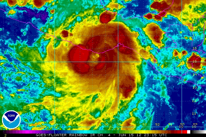
Tropicast: Pacific IR Satellite