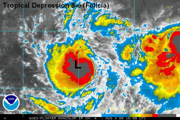
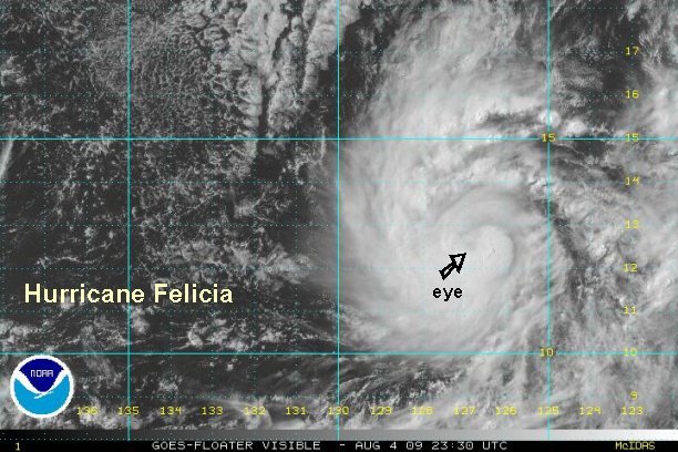
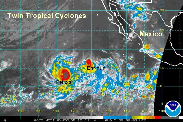
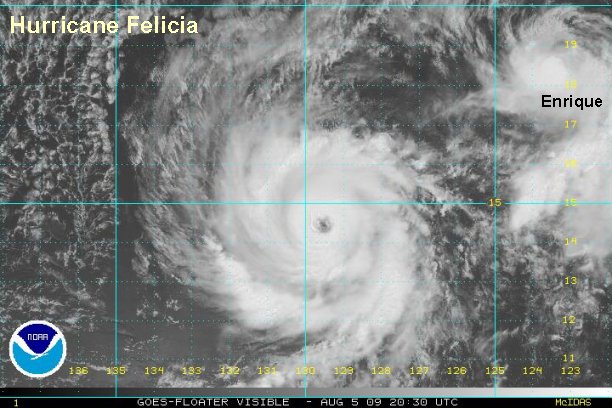
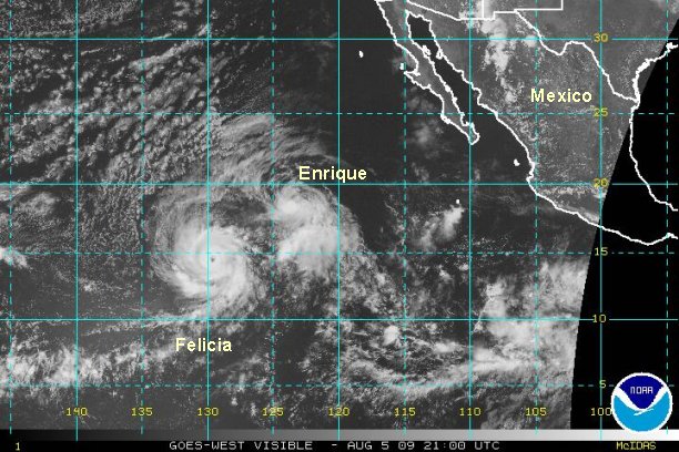
Tropical depression 8-e forming - not a threat to Mexico
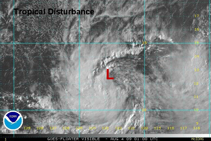
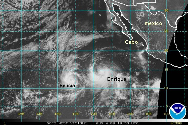
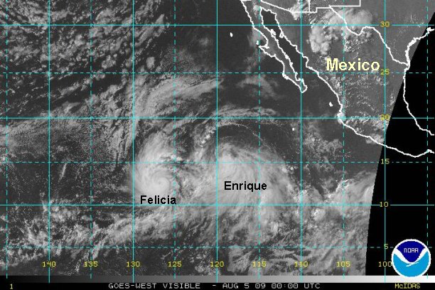
A tropical disturbance has increased in organization and we believe that tropical depression 8-e has formed . As of 9:30 pm edt / 6:30 pm pdt it was centered near 11.9° N / 122.8° W or about 1125 miles southwest of Cabo San Lucas, Mexico.
NHC will probably classify this system soon. We estimate top sustained winds at 30 mph.
This tropical cyclone is moving west northwest at about 15 mph. Conditions are favorable for futher strengthening as it moves out to sea away from Mexico.
***NHC just classified as 8_E for the 8 pm pdt advisory.
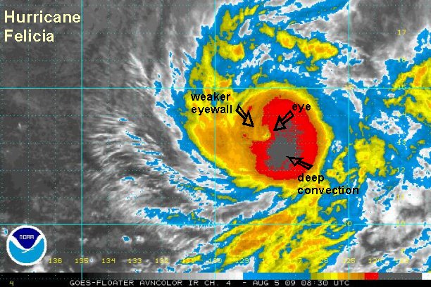
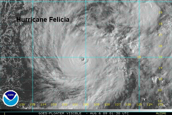
Tropicast: Pacific Floater Visible Satellite