|
|
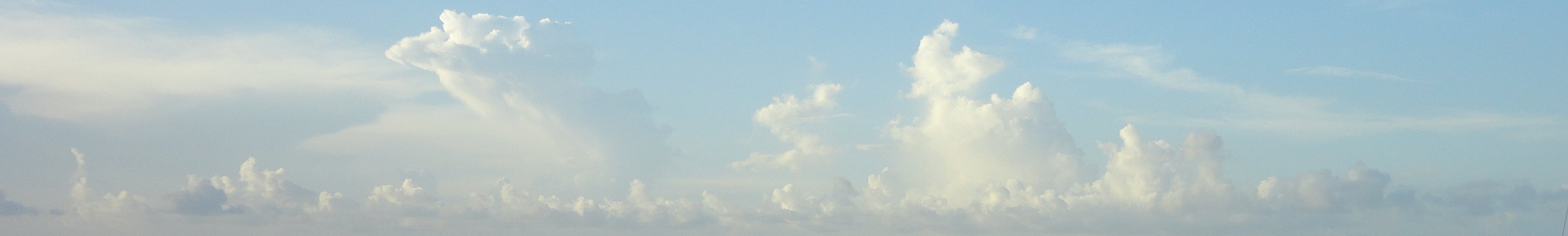
Clouds
What are Clouds?
Clouds are visible water droplets or ice crystals in the atmosphere. They are created as water vapor reaches saturation and condenses.
How do clouds form?
Clouds form from various processes. As air is lifted, it is cooled. Colder air holds less water vapor than warm air. This causes condensation. Water vapor will condense into tiny water droplets as saturation is reached. These water droplets make up the clouds that we see.
The uplift to cause condensation can occur in many different ways. 1. Daytime heating from the sun can cause air near the ground to warm and begin to rise. 2. A front or dryline can cause air to rise as airmasses of different densities plow into each other forcing uplift. 3. Orographic lift from higher terrain like mountains can cause air to rise. 4. Turbulence - quick changes of wind speed with height. This can create rolling motions which lift the air. 5. Air converging from different direction can cause uplift.
 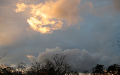
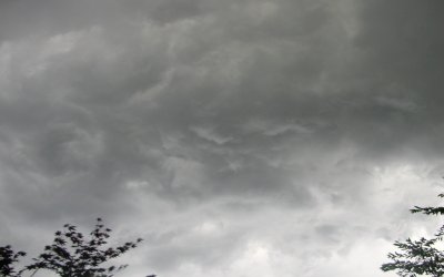
Low Clouds
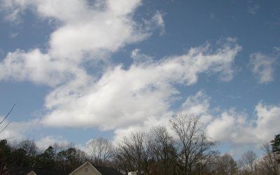
Low clouds are of the stratus group. Stratus is from a Latin term meaning "layer". These clouds are mostly made up of water droplets, although they can contain snow in very cold situations. Stratus, Nimbostratus, and Stratocumulus are three types of stratus clouds. They range up to about 6,500 feet (2000 meters) high. Nimbostratus clouds are associated with steady rain or snow.
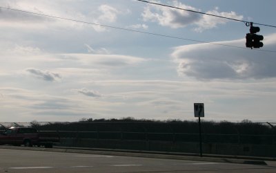
Middle Clouds
Middle clouds are from the "alto" group. Altostratus and altocumulus clouds range from 6,500 - 20,000 feet (2,000-6,000 meters) high. These clouds are also mostly made of water droplets but can be ice crystals too when cold enough.
High Clouds
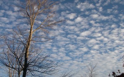
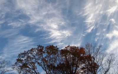
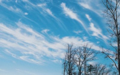
High clouds are of the "Cirrus" group. Cirrus is a Latin word for tuft or curl of hair. Clouds in this group are: Cirrus, Cirrostratus, and cirrocumulus. They range above 20,000 feet (6,000 meters) and are made up of ice crystals.
 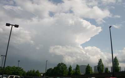
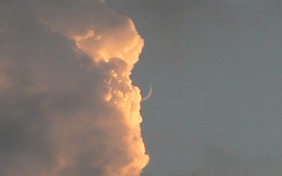
Vertical Development Clouds
Clouds with vertical development are in the cumulus group, meaning "heap" from Latin. These clouds include Cumulus, Cumulus Congestus, and Cumulonimbus or thundercloud. These clouds develop with vertical motion from daytime heating, a front, or uplift from a mountain. The base of cumulus clouds may be as low as a few thousand feet and higher than 60,000 feet with thunderstorm anvils.
 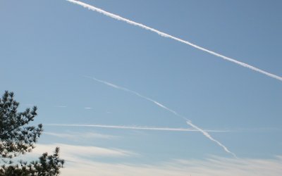
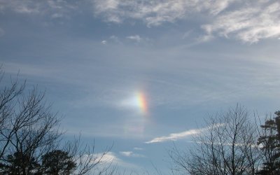
Special Clouds
Special clouds do not fit into any of the previous cloud groups. Mammatus clouds, Contrails, Pileus clouds, and Orographic clouds are examples of these special types of clouds.
Explore more types of weather.
|
|
|