Tropical depression 2 E forms
Showers and storms have become better organized last night south of Mexico. Tropical depression 2-e likely formed at least six hours ago. The hurricane center's track takes it close to land by early Tuesday Morning. Right now it looks like it will stay offshore. It's also possibe if the northeast shear relaxes that this will become a hurriacane.
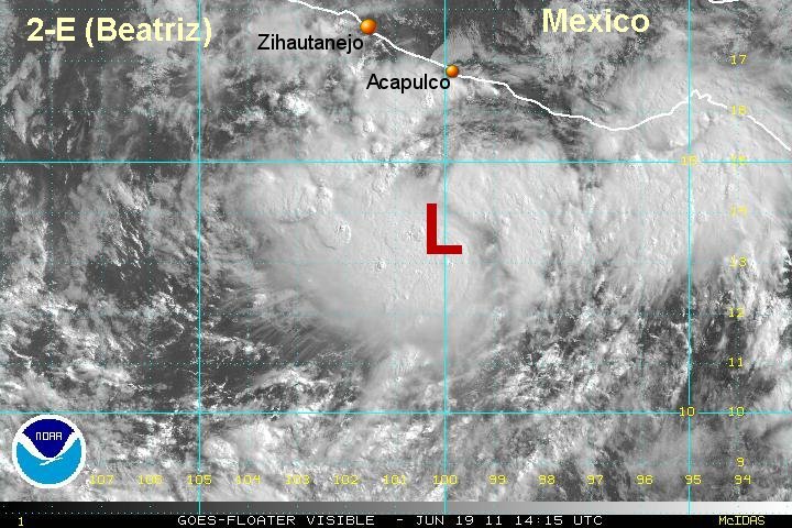
Tropical depression 2 E is centered near 13.7 N / 99.9 w or about 335 miles south southeast of Lazaro Cardenas, Mexico. Movement is west northwest at about 9 mph. Top sustained winds are estimated at 40 mph / 35 (NHC) mph. Pressure estimated at 1006 mb.
Interests on the west coast of Mexico should follow this system.
Tropicast: Pacific Visible Satellite