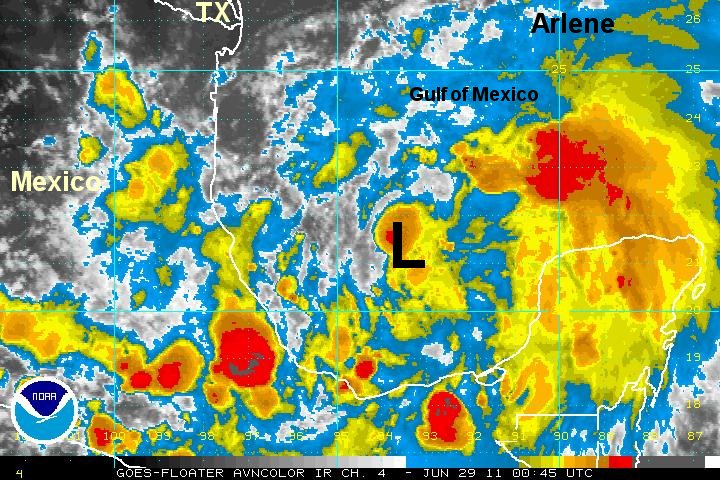
Arlene classified in Bay of Campeche
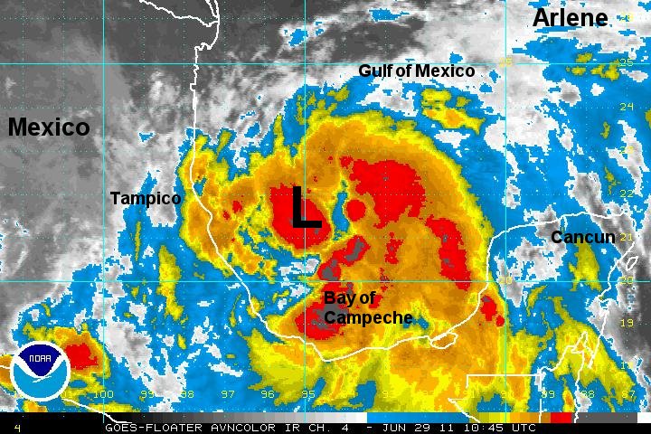
A very disorganized cluster of showers and storms is over the Bay of Campeche and southwestern Gulf of Mexico. Arlene was classified due to a Dvorak classification from NHC's sat department. We aren't quite as bullish and think that it is actually just below tropical storm strength.
As of 7 pm cdt Arlene was centered at 21.2 N / 93.7 W or about 280 miles ese of Tampico, Mexico. It was moving wnw at about 7 mph. Top sustained winds estimated at 35 mph ( 40 mph NHC advisory). Pressure was estimated at 1003 mb.
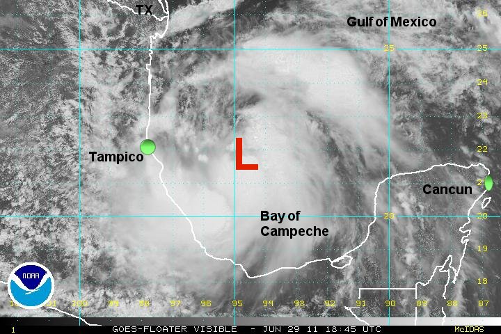
Forecast models have been persistent in taking this storm into Mexico well south of the Texas border by the next 36 hours.
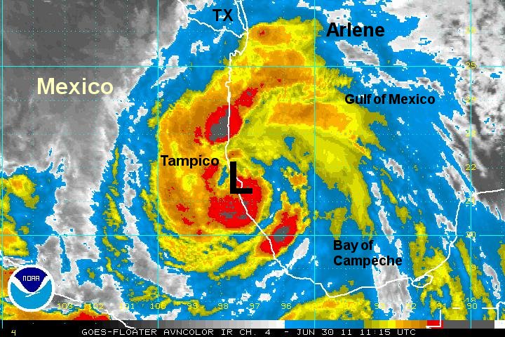
Tropicast: I.R. Floater Satellite