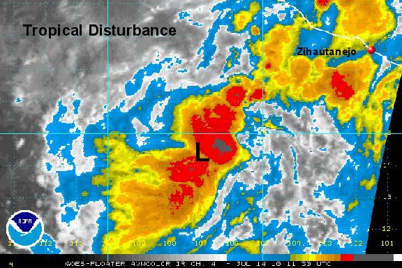
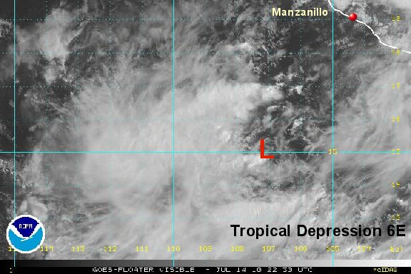
Tropical depression forming
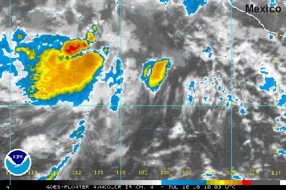
A tropical disturbance is southwest of the coast of Mexico and is moving away from the mainland. It appears that there is enough rotation and organization to classify this as the newest tropical depression in the eastern north pacific.
As of 8:00 am edt / 5:00 am pdt the tropical disturbance was centered near 14°N / 107°W or about 440 miles southwest of Zihuatanejo, Mexico. Movement is to the west at about 15 mph. Top sustatined winds are estimated at 30 mph.
Tropicast: Pacific Floater I.R. Satellite