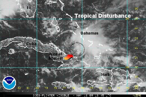
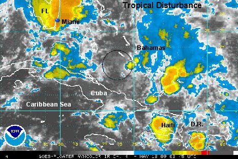
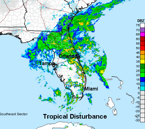
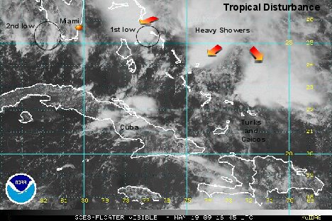
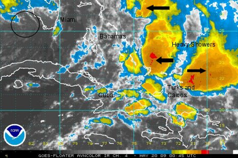
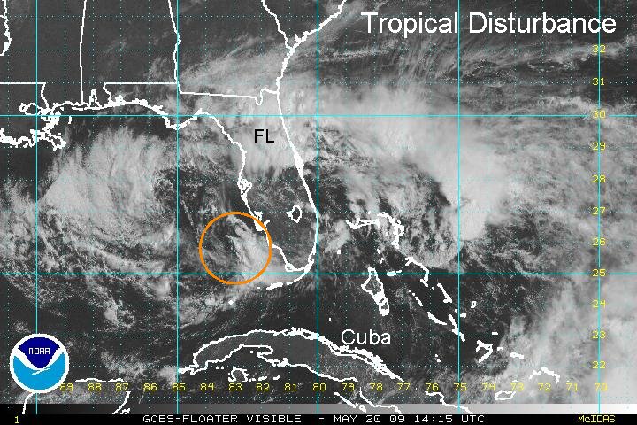
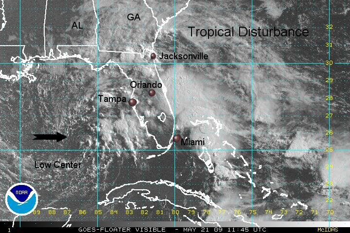
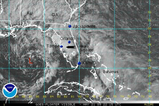
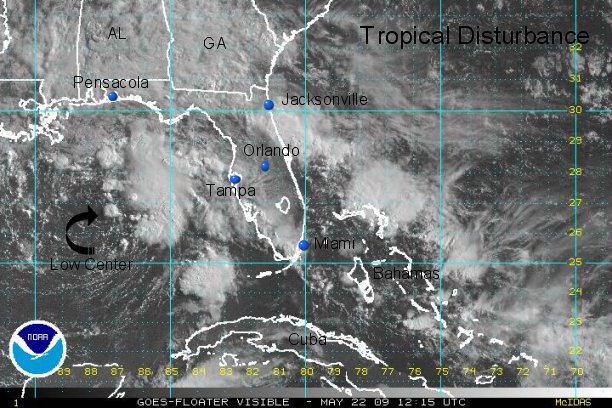
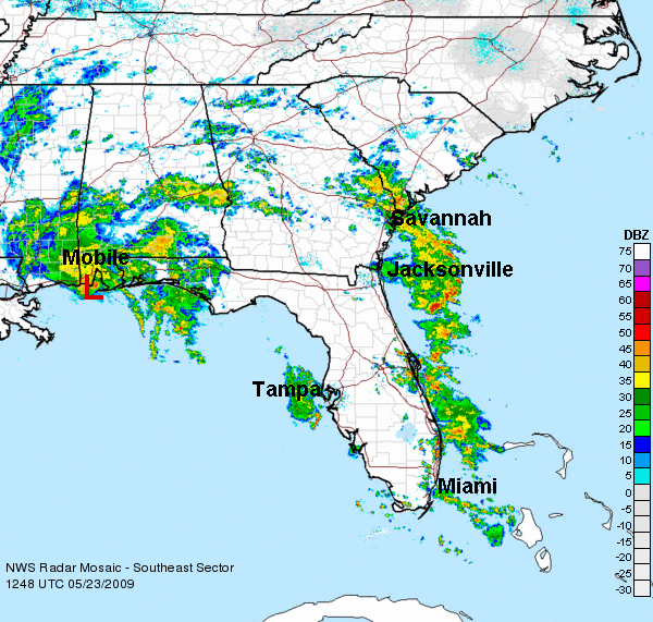
Satellite imagery shows a circulation moving north off of the eastern coast of Cuba. Showers extend from The Turks and Caicos northeastward to the central Bahamas. The circulation center is over the open waters southwest of Great Exuma by about 50 miles. Quickscat shows no surface circulation.
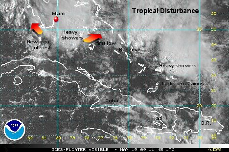
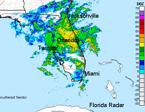
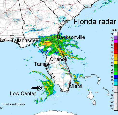
Forecast models have hinted for several days now that some kind of disturbance would form and move northward toward Florida. The models are split with some taking the disturbance up the east coast of Florida, then westward over Florida into the Gulf of Mexico. Other models have the system developing farther west into the Gulf.
A mid level high pressure center over the four corners will move through the Ohio Valley then into the Mid_Atlantic. This will steer the disturbance into the Gulf then toward the northern Gulf coast. This low is developing on the tail end of a cold front which most early season systems tend to do.
It is too early to comment on development in the Gulf. Eastern Gulf water temperatures are marginal for development - 78-81 degrees.
For Florida - with the surface high to the north over the Mid-Atlantic and the low over the Bahamas, a gradient wind will set up causing seas to increase from the east central Florida coast northward to the coast of Georgia. Some minor beach erosion may occur.
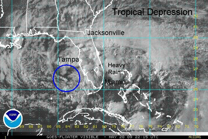
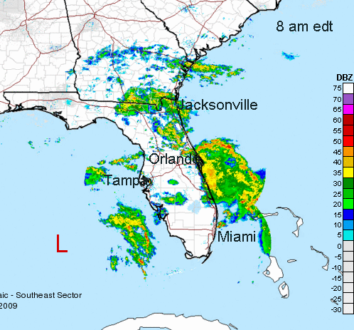
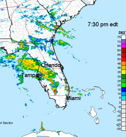
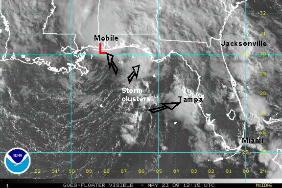
Tropicast: Visible Satellite