Erin
Posted: Mon Aug 11, 2025 1:02 pm
Monday Afternoon Update
Erin classified west of Africa
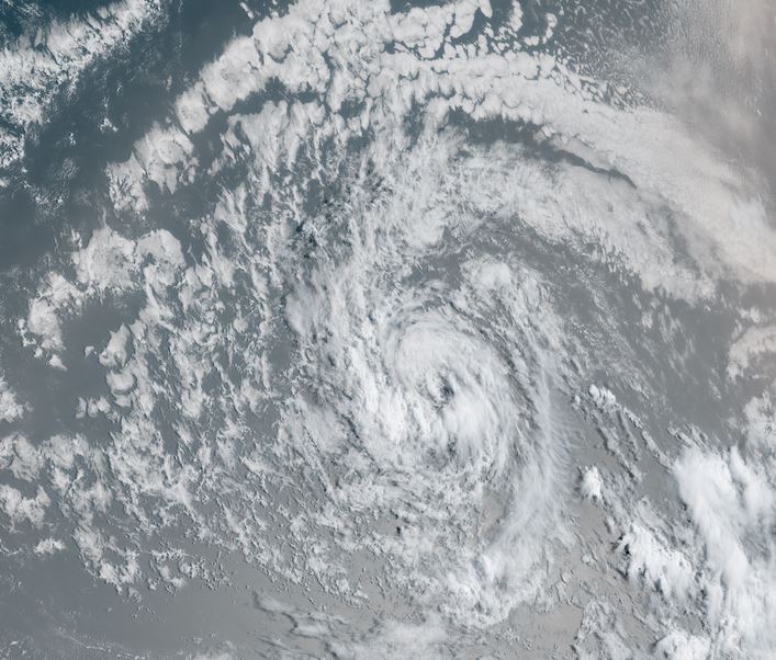
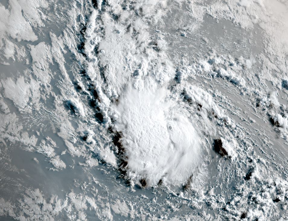
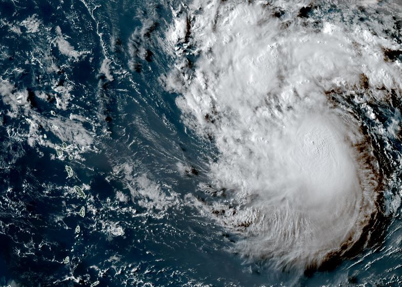
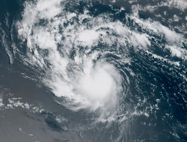
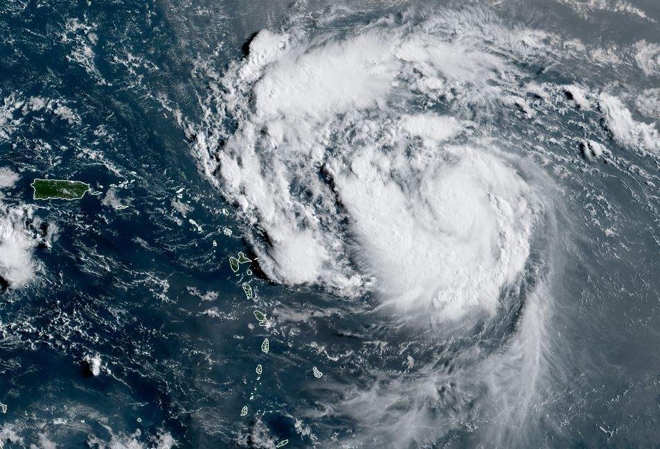
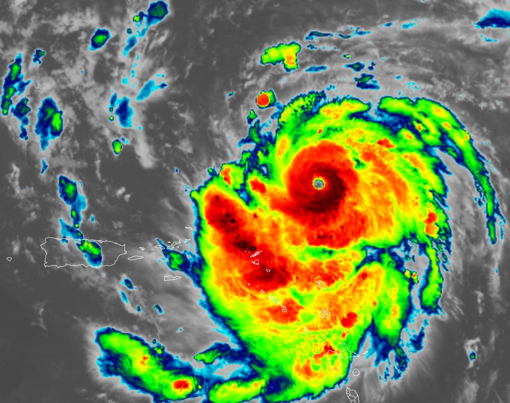
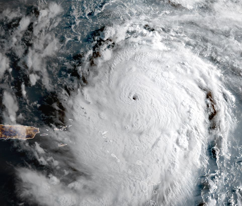
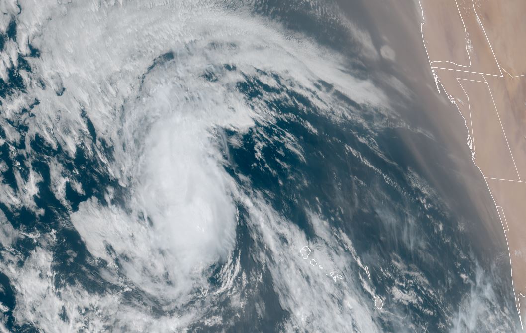
Erin is showing a closed circulation and increasing convection and has been classified west of the Cabo Verde Islands west of the African coast.
The Weather Situation
SUMMARY OF 200 PM CVT...1500 UTC...INFORMATION
----------------------------------------------
LOCATION...17.4N 28.0W
ABOUT 280 MI...455 KM WNW OF THE CABO VERDE ISLANDS
ABOUT 2305 MI...3710 KM E OF THE NORTHERN LEEWARD ISLANDS
MAXIMUM SUSTAINED WINDS...45 MPH...75 KM/H
PRESENT MOVEMENT...W OR 275 DEGREES AT 20 MPH...31 KM/H
MINIMUM CENTRAL PRESSURE...1004 MB...29.65 INCHES
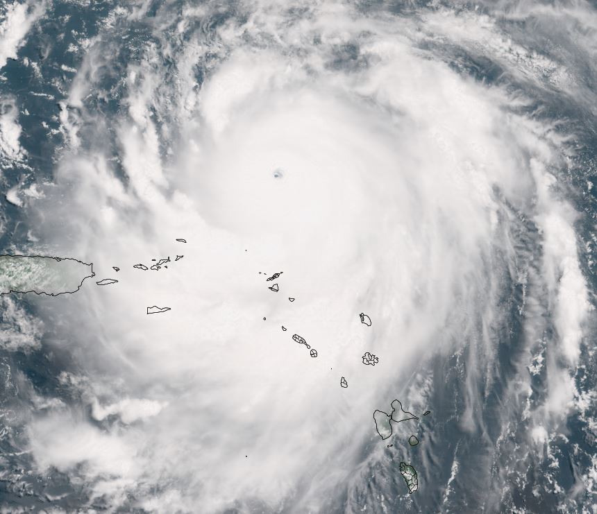
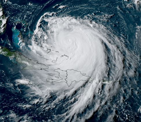
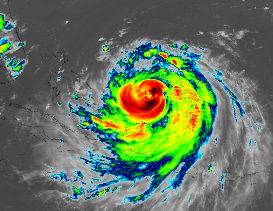
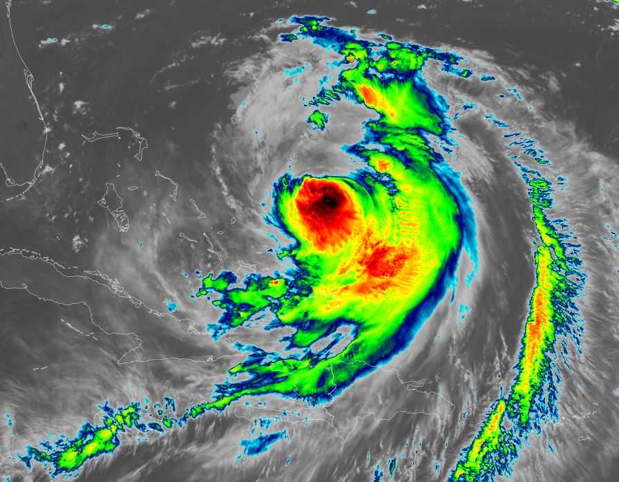
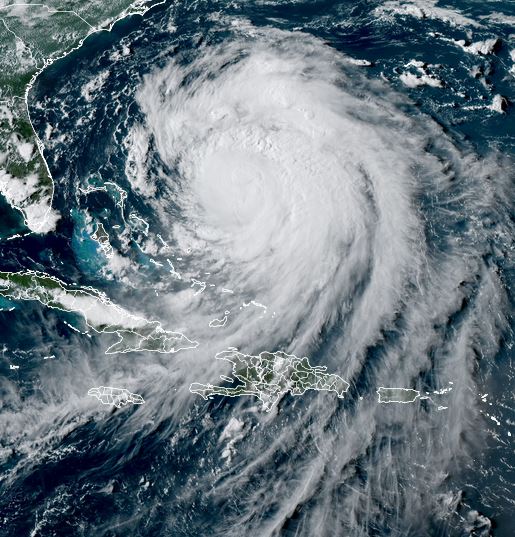
Tropicast: Visible satellite RAMMB Cira-Slider
Tropical Weather Forecast:
Erin will track generally west the next few days over the tropical north Atlantic. Models show it moving to the north of the Lesser Antilles by around Saturday, but interests in the area should still follow this tropical cyclone.
Erin classified west of Africa
Erin is showing a closed circulation and increasing convection and has been classified west of the Cabo Verde Islands west of the African coast.
The Weather Situation
SUMMARY OF 200 PM CVT...1500 UTC...INFORMATION
----------------------------------------------
LOCATION...17.4N 28.0W
ABOUT 280 MI...455 KM WNW OF THE CABO VERDE ISLANDS
ABOUT 2305 MI...3710 KM E OF THE NORTHERN LEEWARD ISLANDS
MAXIMUM SUSTAINED WINDS...45 MPH...75 KM/H
PRESENT MOVEMENT...W OR 275 DEGREES AT 20 MPH...31 KM/H
MINIMUM CENTRAL PRESSURE...1004 MB...29.65 INCHES
Tropicast: Visible satellite RAMMB Cira-Slider

Tropical Weather Forecast:
Erin will track generally west the next few days over the tropical north Atlantic. Models show it moving to the north of the Lesser Antilles by around Saturday, but interests in the area should still follow this tropical cyclone.
