Dexter
Posted: Tue Aug 05, 2025 4:04 am
Tuesday Morning Update
Dexter sheared badly
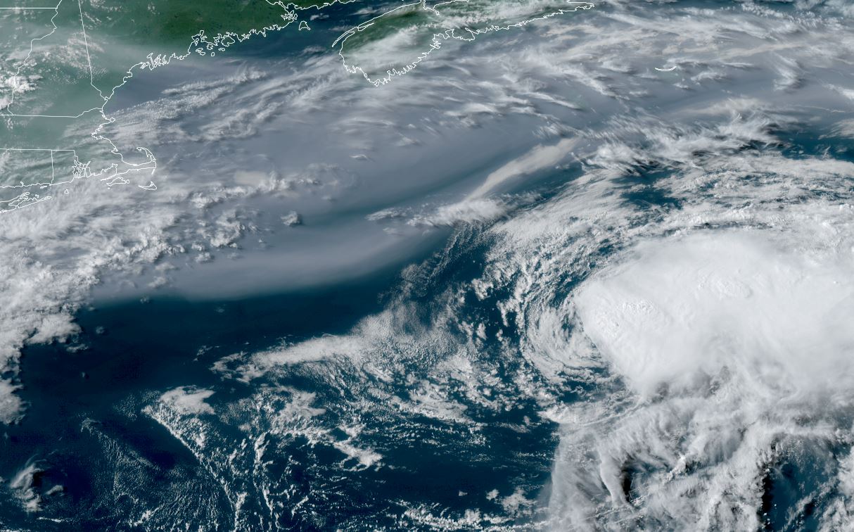
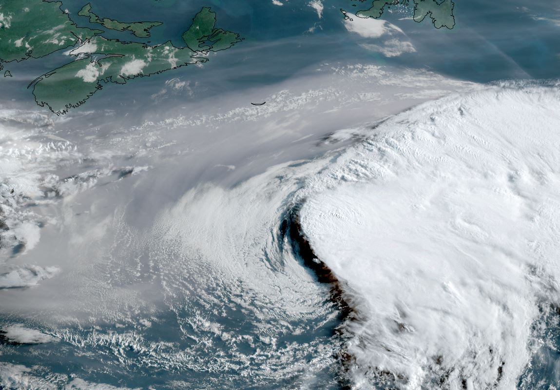
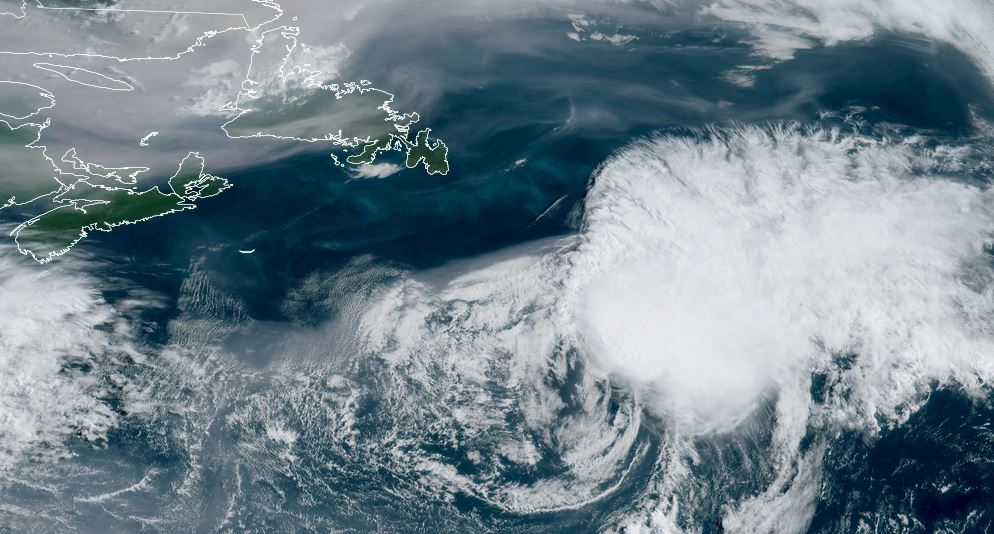
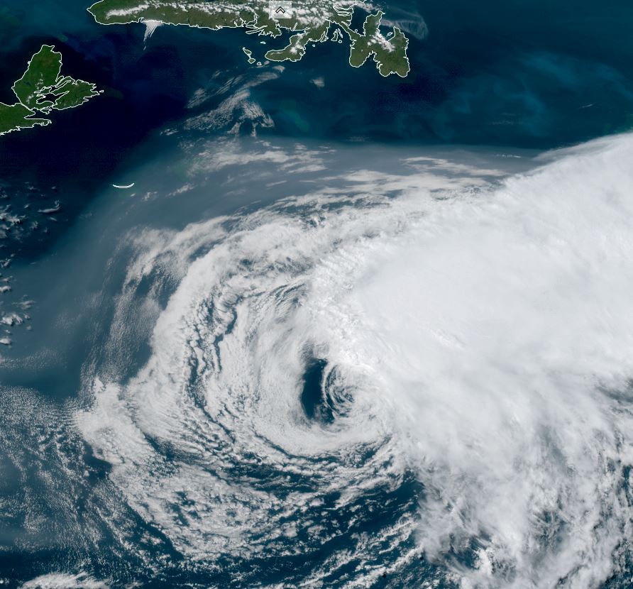
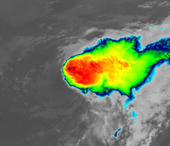
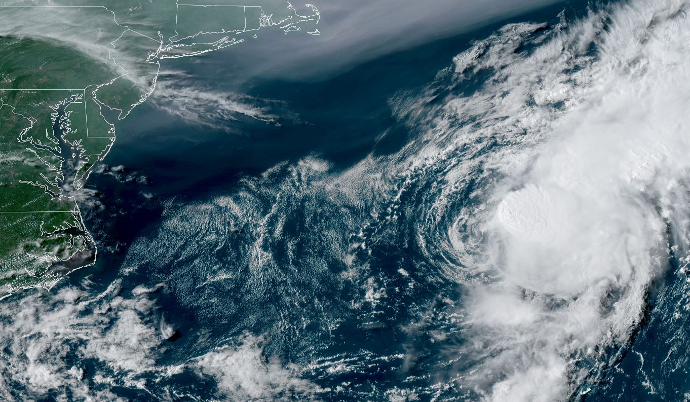
Satellite imagery this morning shows Dexter continuing to be badly sheared. Deep convection is noted on the far eastern quadrant, but most of the low level circulation is comprised of low clouds. Yesterday (second image below) smoke from wildfires in noted at the top of the image. The US coast is seen well to the west.
The Weather Situation
SUMMARY OF 500 AM AST...0900 UTC...INFORMATION
----------------------------------------------
LOCATION...37.3N 64.4W
ABOUT 345 MI...555 KM N OF BERMUDA
MAXIMUM SUSTAINED WINDS...40 MPH...65 KM/H
PRESENT MOVEMENT...NE OR 55 DEGREES AT 12 MPH...19 KM/H
MINIMUM CENTRAL PRESSURE...1005 MB...29.68 INCHES
Tropicast: IR satellite RAMMB Cira-Slider Tuesday Morning
Tropicast: Visible satellite RAAMB Cira-Slider Monday Late Afternoon
Tropical Weather Forecast:
Dexter is well north of Bermuda and well south of SE Canada. It is expected to become extratropical during the next 24 hours, not affecting land.
Dexter sheared badly
Satellite imagery this morning shows Dexter continuing to be badly sheared. Deep convection is noted on the far eastern quadrant, but most of the low level circulation is comprised of low clouds. Yesterday (second image below) smoke from wildfires in noted at the top of the image. The US coast is seen well to the west.
The Weather Situation
SUMMARY OF 500 AM AST...0900 UTC...INFORMATION
----------------------------------------------
LOCATION...37.3N 64.4W
ABOUT 345 MI...555 KM N OF BERMUDA
MAXIMUM SUSTAINED WINDS...40 MPH...65 KM/H
PRESENT MOVEMENT...NE OR 55 DEGREES AT 12 MPH...19 KM/H
MINIMUM CENTRAL PRESSURE...1005 MB...29.68 INCHES
Tropicast: IR satellite RAMMB Cira-Slider Tuesday Morning

Tropicast: Visible satellite RAAMB Cira-Slider Monday Late Afternoon

Tropical Weather Forecast:
Dexter is well north of Bermuda and well south of SE Canada. It is expected to become extratropical during the next 24 hours, not affecting land.
