Erick
Posted: Wed Jun 18, 2025 10:13 am
Wednesday Midday Update
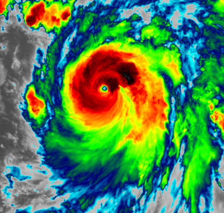
Erick strengthening
Erick is entering a rapid deeping phase and will make landfall as a major hurricane.
The Weather Situation
SUMMARY OF 900 AM CST...1500 UTC...INFORMATION
----------------------------------------------
LOCATION...13.9N 96.0W
ABOUT 130 MI...205 KM SSE OF PUERTO ANGEL MEXICO
ABOUT 240 MI...385 KM SE OF PUNTA MALDONADO MEXICO
MAXIMUM SUSTAINED WINDS...85 MPH...140 KM/H
PRESENT MOVEMENT...NW OR 310 DEGREES AT 8 MPH...13 KM/H
MINIMUM CENTRAL PRESSURE...984 MB...29.06 INCHES
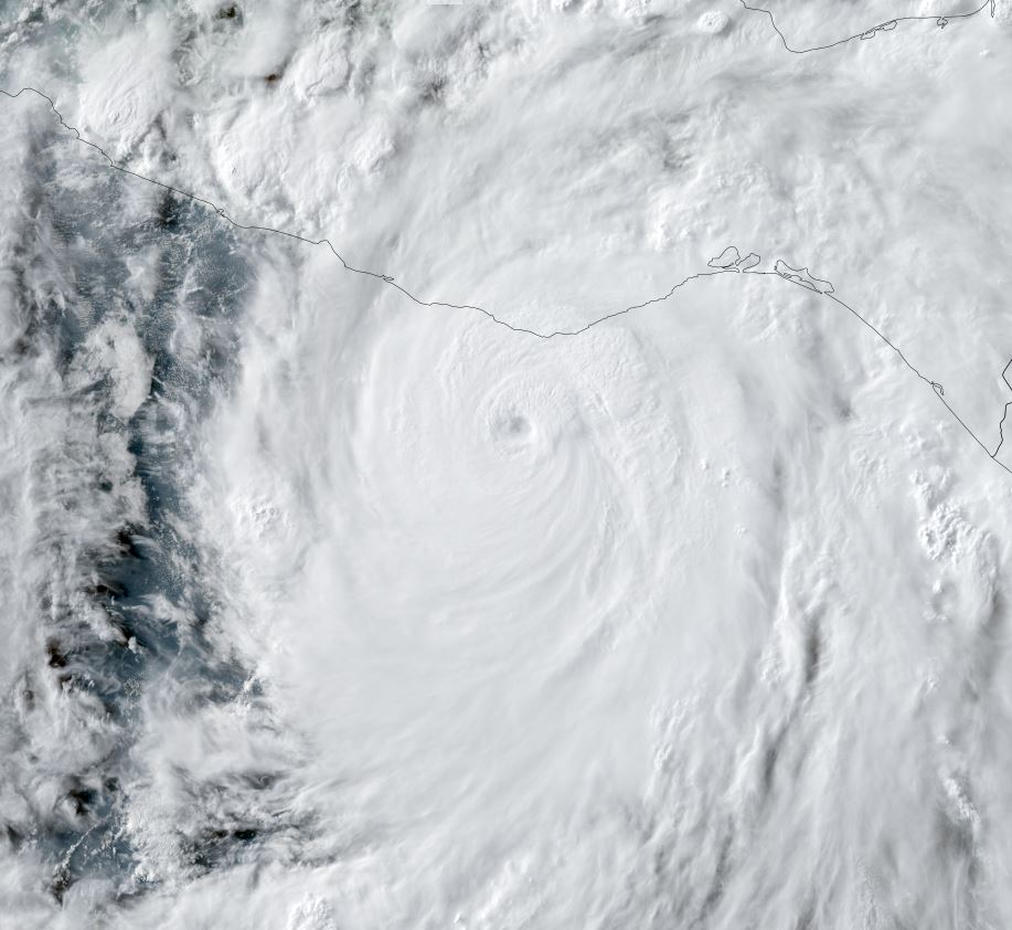
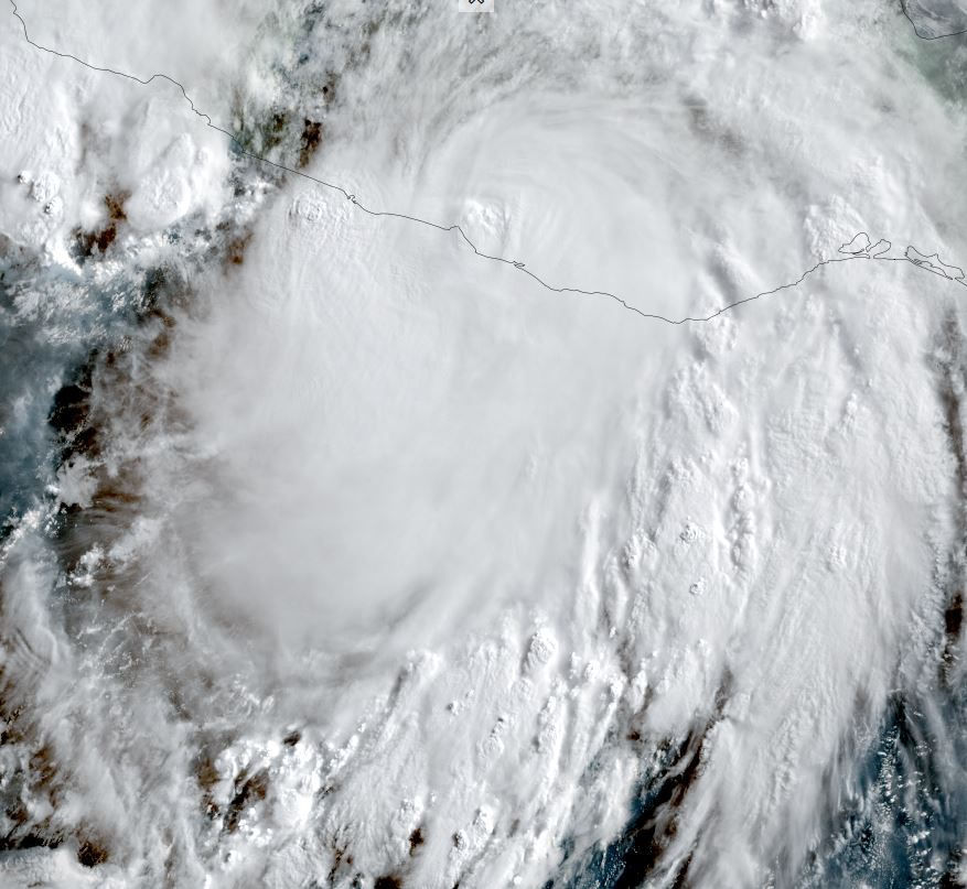
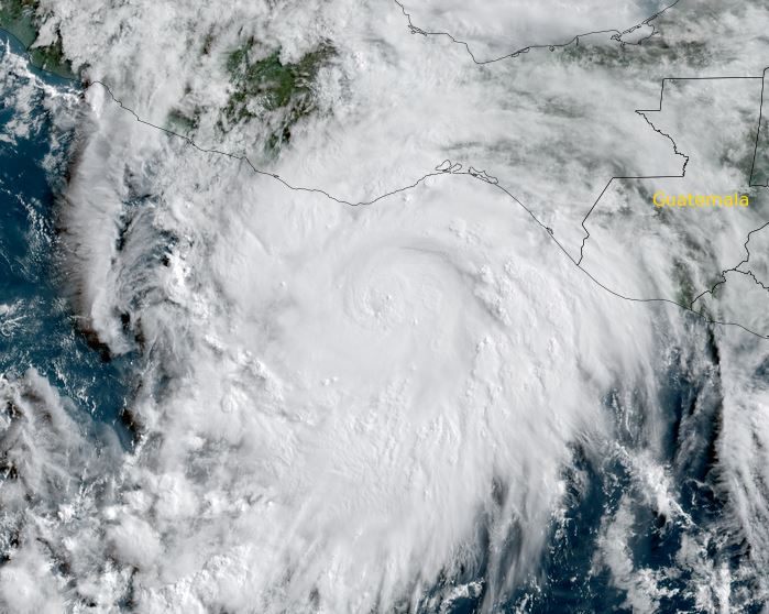
Tropicast: Visible satellite Wednesday Morning
Tropical Weather Forecast:
Erick will make landfall onto Mexico's southern coast very late tonight / early tomorrow morning and pose several hazards including storm surge,wind damage, flash flooding and mudslides.
Erick strengthening
Erick is entering a rapid deeping phase and will make landfall as a major hurricane.
The Weather Situation
SUMMARY OF 900 AM CST...1500 UTC...INFORMATION
----------------------------------------------
LOCATION...13.9N 96.0W
ABOUT 130 MI...205 KM SSE OF PUERTO ANGEL MEXICO
ABOUT 240 MI...385 KM SE OF PUNTA MALDONADO MEXICO
MAXIMUM SUSTAINED WINDS...85 MPH...140 KM/H
PRESENT MOVEMENT...NW OR 310 DEGREES AT 8 MPH...13 KM/H
MINIMUM CENTRAL PRESSURE...984 MB...29.06 INCHES
Tropicast: Visible satellite Wednesday Morning
Tropical Weather Forecast:
Erick will make landfall onto Mexico's southern coast very late tonight / early tomorrow morning and pose several hazards including storm surge,wind damage, flash flooding and mudslides.