Nadine
Posted: Fri Oct 18, 2024 8:02 pm
Friday Evening Update
TD heading for Belize
A disturbed area of weather in the western Caribbean Sea is currently becoming better organized.
The Weather Situation
SUMMARY OF 700 PM CDT...0000 UTC...INFORMATION
----------------------------------------------
LOCATION...17.5N 85.7W
ABOUT 165 MI...265 KM E OF BELIZE CITY
MAXIMUM SUSTAINED WINDS...35 MPH...55 KM/H
PRESENT MOVEMENT...WNW OR 290 DEGREES AT 7 MPH...11 KM/H
MINIMUM CENTRAL PRESSURE...1005 MB...29.68 INCHES
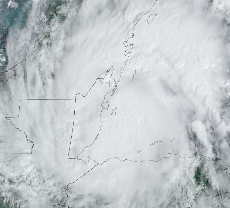
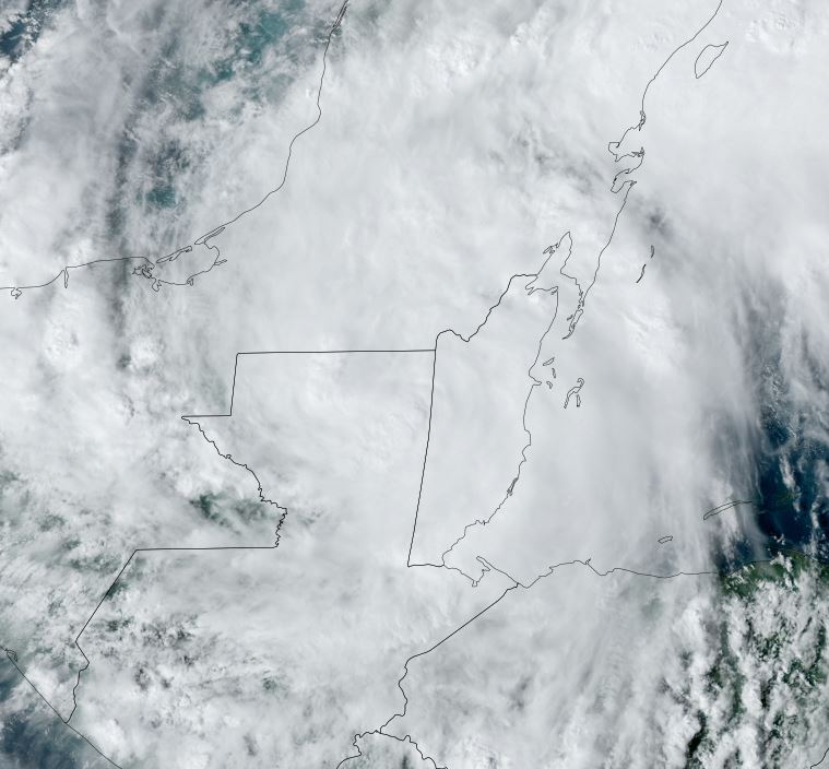
Tropicast: Visible Satellite RAMMB / CIRA Slider Friday Evening
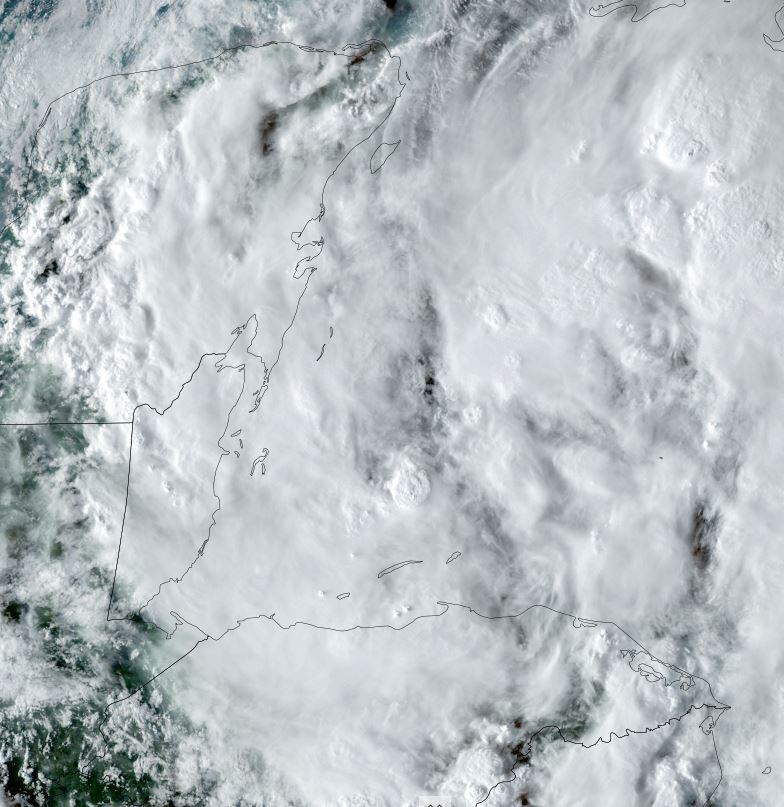
Tropical Weather Forecast:
This tropical depression is forecast to become better organized and become a minimal storm before landfall by midday Saturday. The main threat will be heavy rainfall.
TD heading for Belize
A disturbed area of weather in the western Caribbean Sea is currently becoming better organized.
The Weather Situation
SUMMARY OF 700 PM CDT...0000 UTC...INFORMATION
----------------------------------------------
LOCATION...17.5N 85.7W
ABOUT 165 MI...265 KM E OF BELIZE CITY
MAXIMUM SUSTAINED WINDS...35 MPH...55 KM/H
PRESENT MOVEMENT...WNW OR 290 DEGREES AT 7 MPH...11 KM/H
MINIMUM CENTRAL PRESSURE...1005 MB...29.68 INCHES
Tropicast: Visible Satellite RAMMB / CIRA Slider Friday Evening
Tropical Weather Forecast:
This tropical depression is forecast to become better organized and become a minimal storm before landfall by midday Saturday. The main threat will be heavy rainfall.