Alberto
Posted: Wed Jun 19, 2024 10:16 am
Wednesday Midday Update
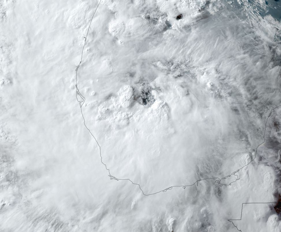
Alberto classified
Satellite imagery shows that deep convection has finally developed over the low center. A much larger area of convection is well to the east, but will factor in heavy rainfall with landfall.
The Weather Situation
SUMMARY OF 1000 AM CDT...1500 UTC...INFORMATION
-----------------------------------------------
LOCATION...22.2N 95.0W
ABOUT 185 MI...300 KM E OF TAMPICO MEXICO
ABOUT 295 MI...480 KM SSE OF BROWNSVILLE TEXAS
MAXIMUM SUSTAINED WINDS...40 MPH...65 KM/H
PRESENT MOVEMENT...W OR 270 DEGREES AT 9 MPH...15 KM/H
MINIMUM CENTRAL PRESSURE...995 MB...29.39 INCHES
Tropicast: Visible satellite Wednesday Late Morning
Tropical Weather Forecast:
Alberto will make landfall by early Thursday morning. Landfall timing is not important as the effects of Alberto are far from the center. Flash flooding in northeastern Mexico and south Texas will be the main concern with Alberto.
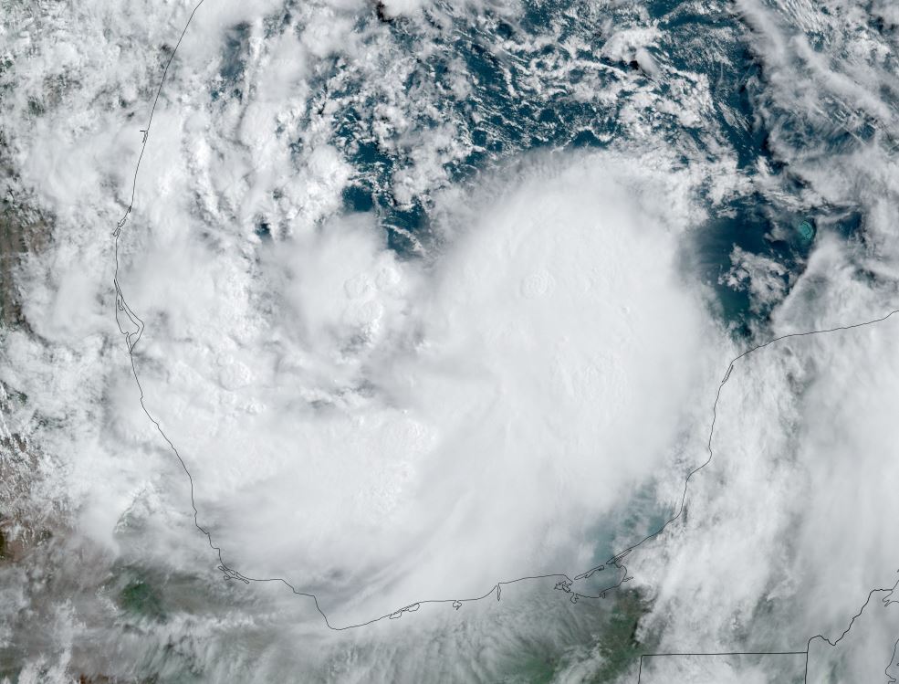