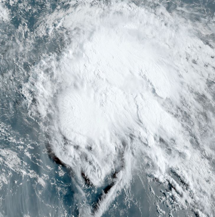
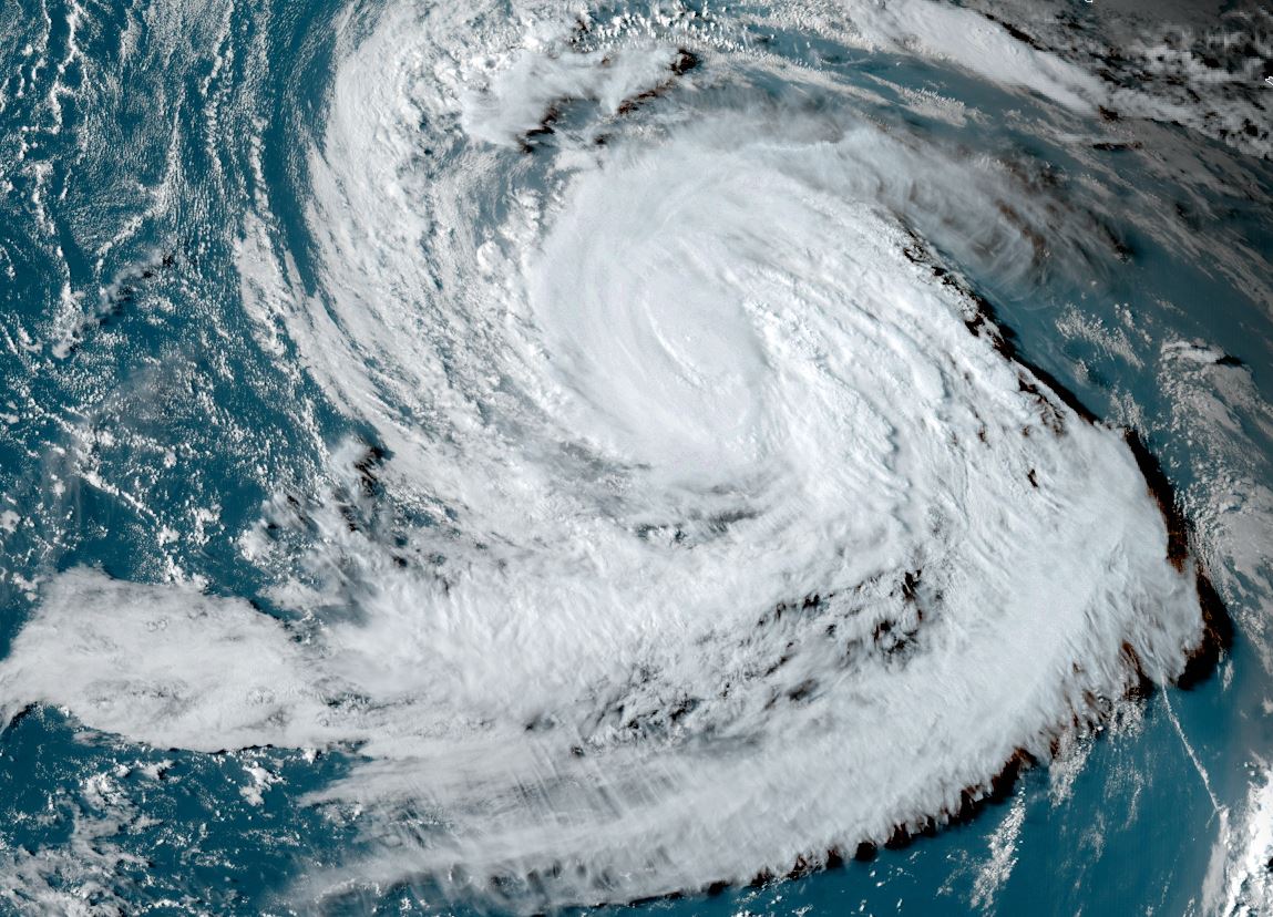
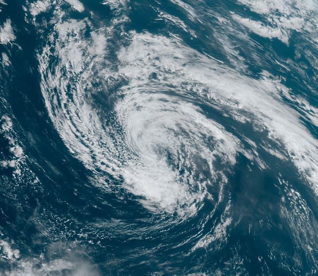
Margot in eastern Atlantic
Margot is sheared with the western side of the circulation exposed as seen on satellite imagery.
The Weather Situation
SUMMARY OF 1100 AM AST...1500 UTC...INFORMATION
-----------------------------------------------
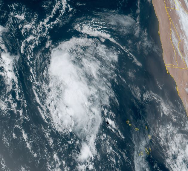
LOCATION...18.0N 32.5W
ABOUT 580 MI...930 KM WNW OF THE CABO VERDE ISLANDS
MAXIMUM SUSTAINED WINDS...40 MPH...65 KM/H
PRESENT MOVEMENT...WNW OR 290 DEGREES AT 17 MPH...28 KM/H
MINIMUM CENTRAL PRESSURE...1005 MB...29.68 INCHES
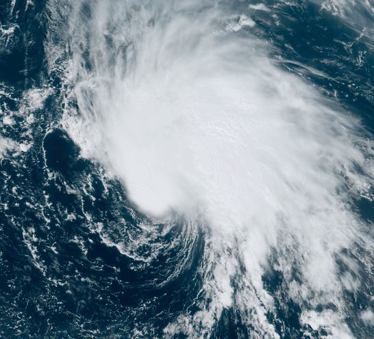
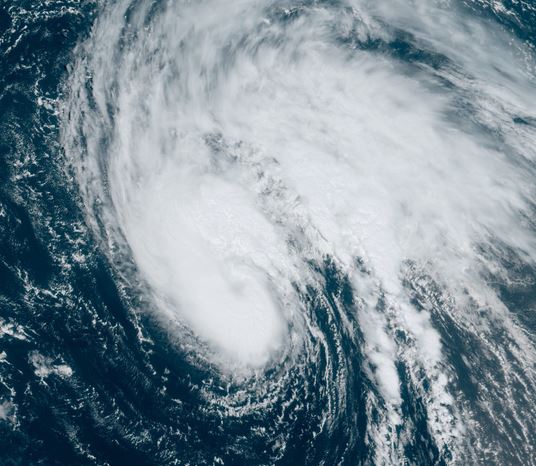
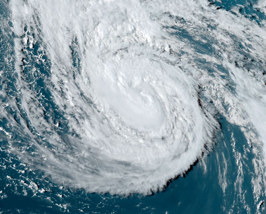
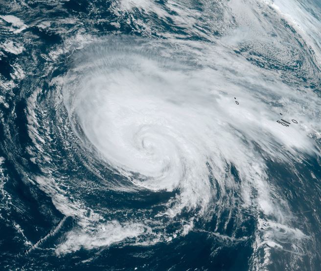
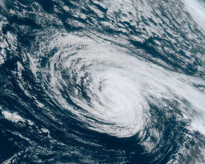
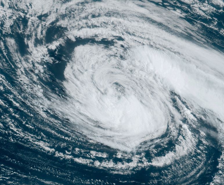
Tropicast: Visible satellite
Tropical Weather Forecast:
Margot is expected to move into the central north Atlantic and strengthen. It is not expected to impact land at this time.