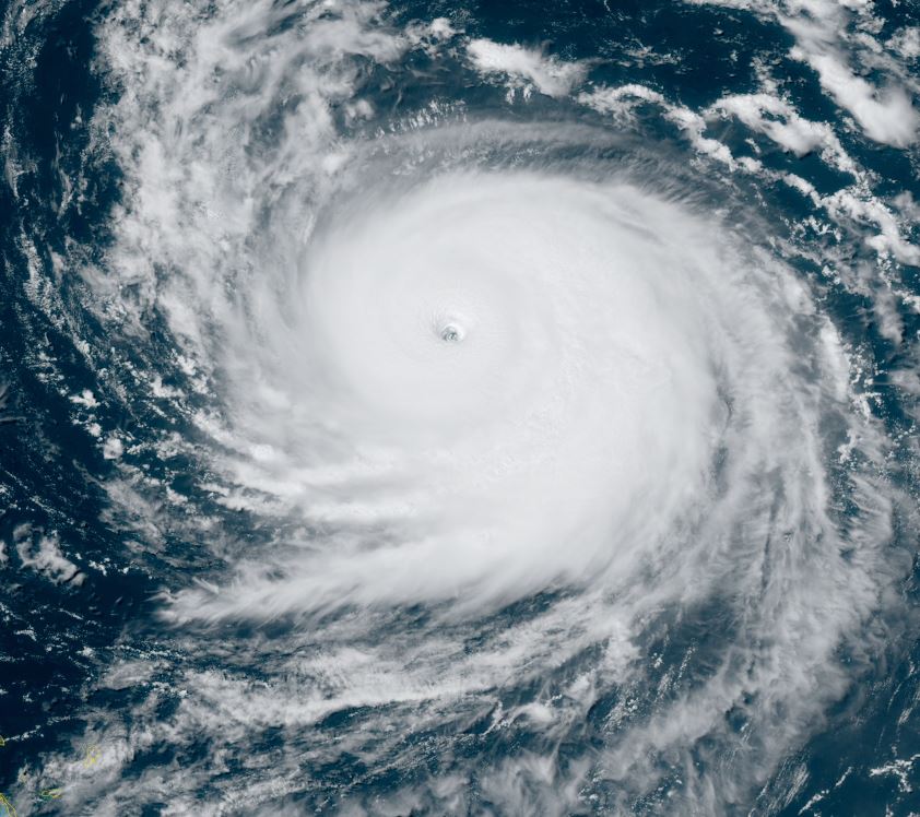
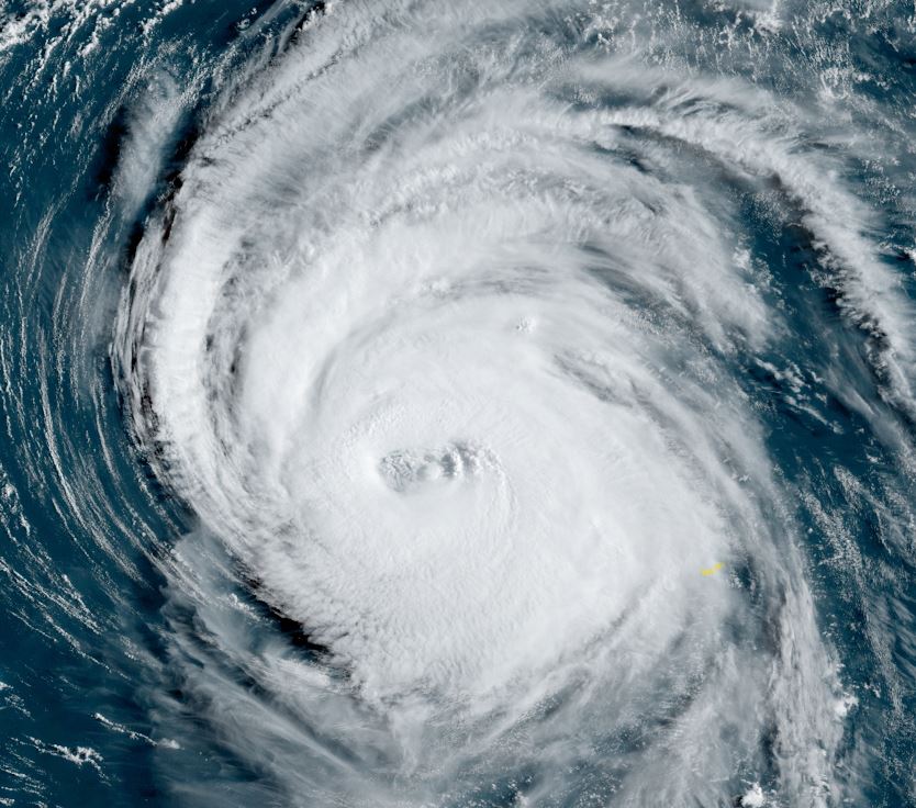
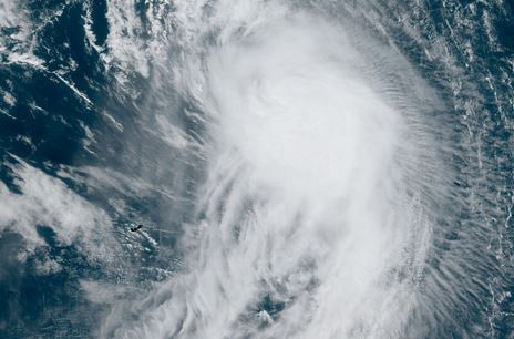
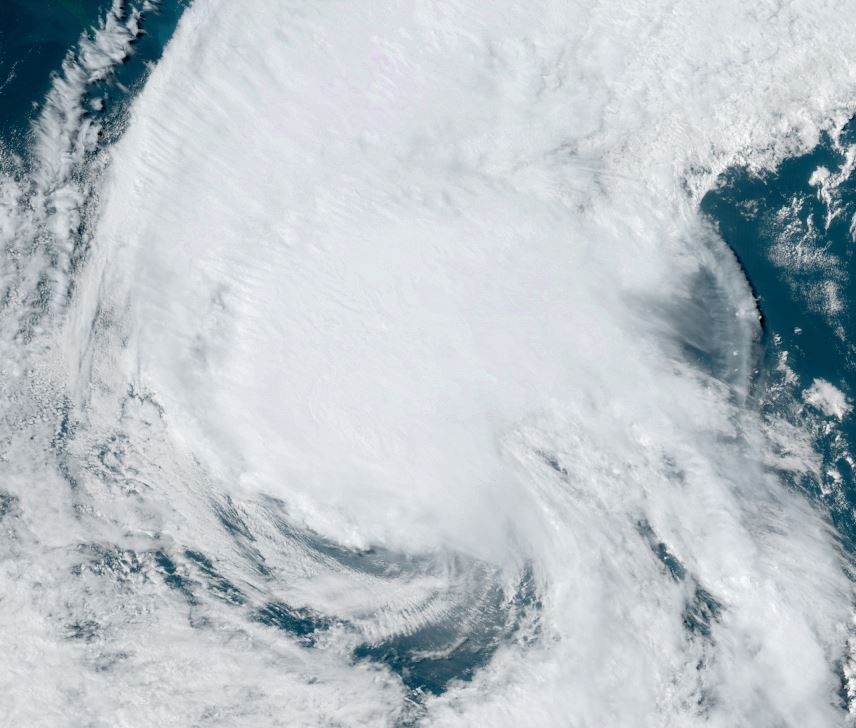
Recon investigating
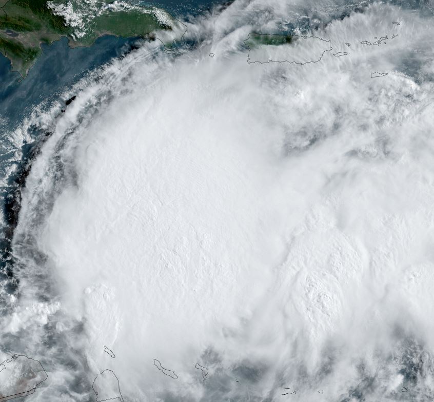
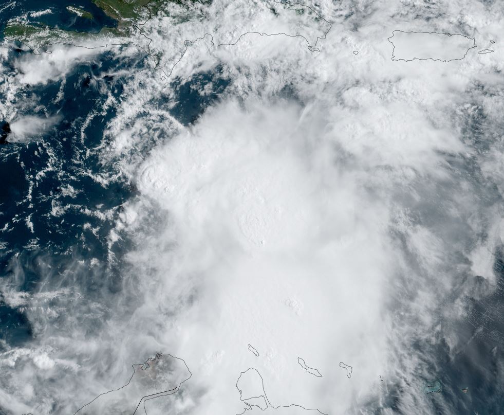
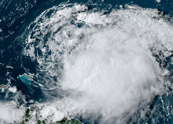
Franklin has a massive area of convection associated with it. A recon is currently investigating with more data to come in soon.
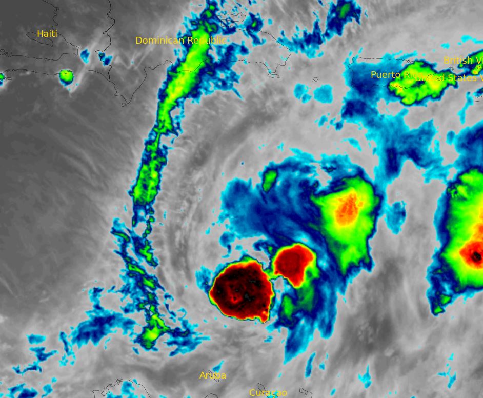
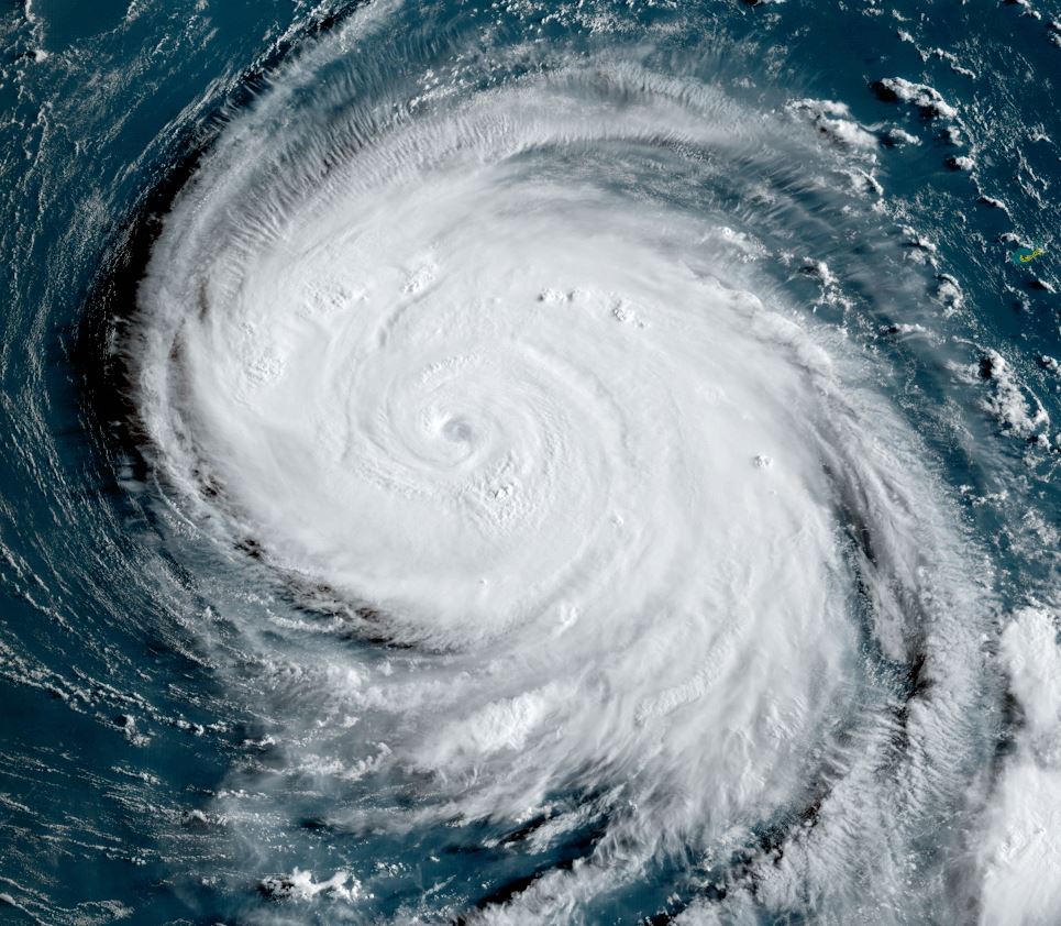
The Weather Situation
SUMMARY OF 200 PM EDT...1800 UTC...INFORMATION
----------------------------------------------
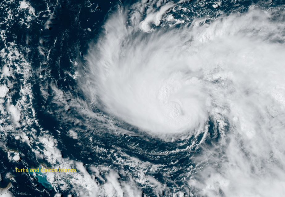
LOCATION...14.5N 70.1W
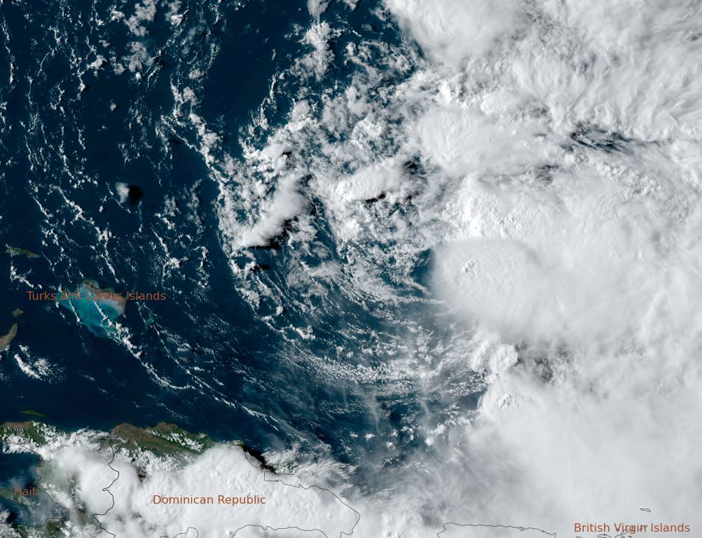
ABOUT 275 MI...445 KM S OF SANTO DOMINGO DOMINICAN REPUBLIC
MAXIMUM SUSTAINED WINDS...50 MPH...85 KM/H
PRESENT MOVEMENT...W OR 265 DEGREES AT 4 MPH...6 KM/H
MINIMUM CENTRAL PRESSURE...999 MB...29.50 INCHES
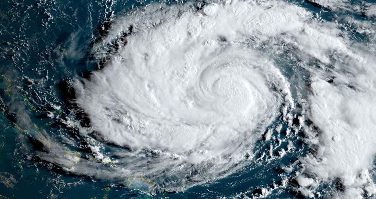
Tropicast: Visible satellite