Bret forms
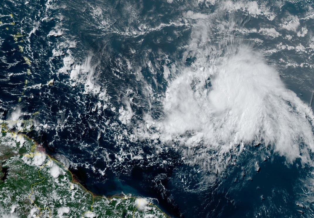
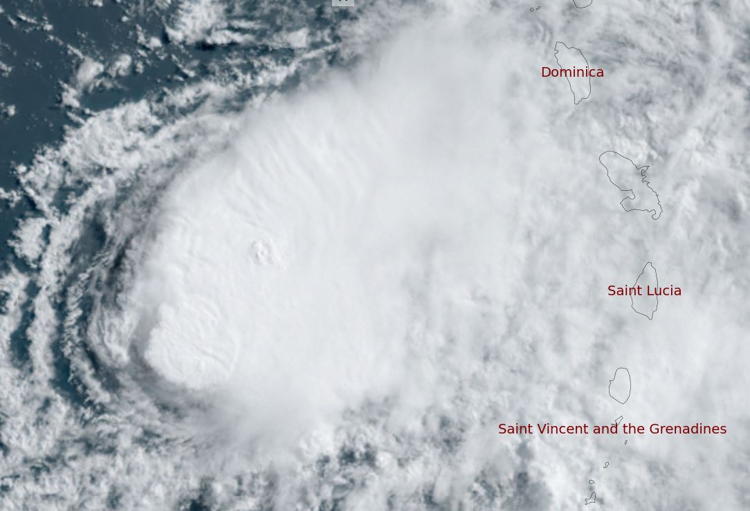
Bret was classified yesterday evening well east of the Lesser Antilles. IR satellite imagery show a circular central dense overcast in a low shear environment. This environment is favorable for development for the next few days. Bret is currently not affecting any land areas.
The Weather Situation
SUMMARY OF 500 AM EST...1200 UTC...INFORMATION
----------------------------------------------
LOCATION...11.7N 44.7W
ABOUT 1130 MI...1815 KM E OF THE SOUTHERN WINDWARD ISLANDS
MAXIMUM SUSTAINED WINDS...40 MPH...65 KM/H
PRESENT MOVEMENT...W OR 280 DEGREES AT 17 MPH...28 KM/H
MINIMUM CENTRAL PRESSURE...1008 MB...29.77 INCHES
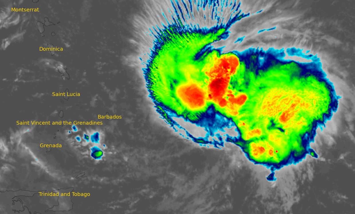
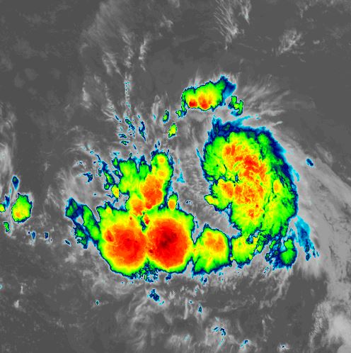
Tropicast: IR satellite
Tropical Weather Forecast:
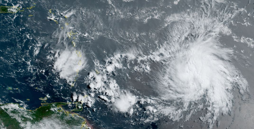
Bret will continue west toward the Caribbean and strengthen. It will likely begin to weaken again as it reaches the Windwards or shortly after entering the Caribbean Sea. Interests in the Lesser Antilles should monitor the progress of Bret.