Martin
Posted: Tue Nov 01, 2022 8:26 pm
Tuesday Night Update
Martin becomes a tropical storm
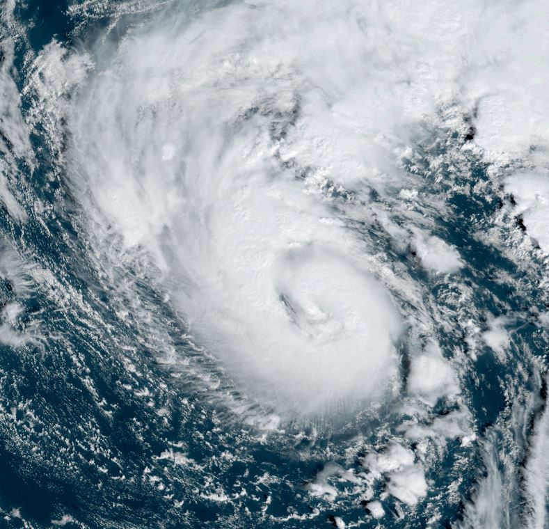
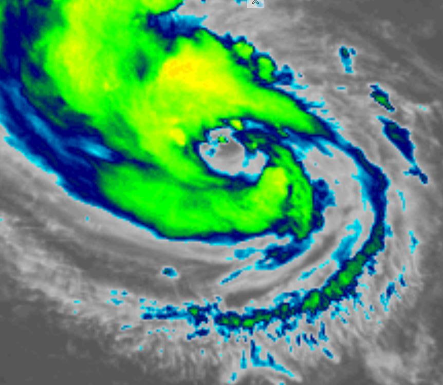
Martin looks like an occluded storm system over the north Atlantic. It has enough deep convection concentrated near the center to be classified as a tropical storm for a short while.
The Weather Situation
SUMMARY OF 500 PM AST...2100 UTC...INFORMATION
----------------------------------------------
LOCATION...35.4N 54.5W
ABOUT 630 MI...1010 KM ENE OF BERMUDA
MAXIMUM SUSTAINED WINDS...60 MPH...95 KM/H
PRESENT MOVEMENT...E OR 90 DEGREES AT 13 MPH...20 KM/H
MINIMUM CENTRAL PRESSURE...991 MB...29.27 INCHES
Tropicast: Visible Satellite Late Tuesday Afternoon
Tropical Weather Forecast:
Martin will lose tropical characteristics over the northern North Atlantic Ocean by Wednesday night and become a north Atlantic gale.
Martin becomes a tropical storm
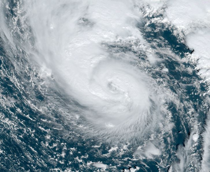
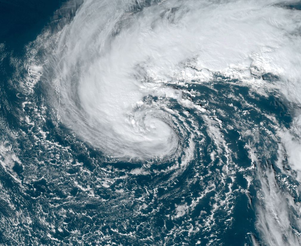
Martin looks like an occluded storm system over the north Atlantic. It has enough deep convection concentrated near the center to be classified as a tropical storm for a short while.
The Weather Situation
SUMMARY OF 500 PM AST...2100 UTC...INFORMATION
----------------------------------------------
LOCATION...35.4N 54.5W
ABOUT 630 MI...1010 KM ENE OF BERMUDA
MAXIMUM SUSTAINED WINDS...60 MPH...95 KM/H
PRESENT MOVEMENT...E OR 90 DEGREES AT 13 MPH...20 KM/H
MINIMUM CENTRAL PRESSURE...991 MB...29.27 INCHES
Tropicast: Visible Satellite Late Tuesday Afternoon
Tropical Weather Forecast:
Martin will lose tropical characteristics over the northern North Atlantic Ocean by Wednesday night and become a north Atlantic gale.