Javier
Posted: Fri Sep 02, 2022 1:48 pm
Friday Afternoon Update
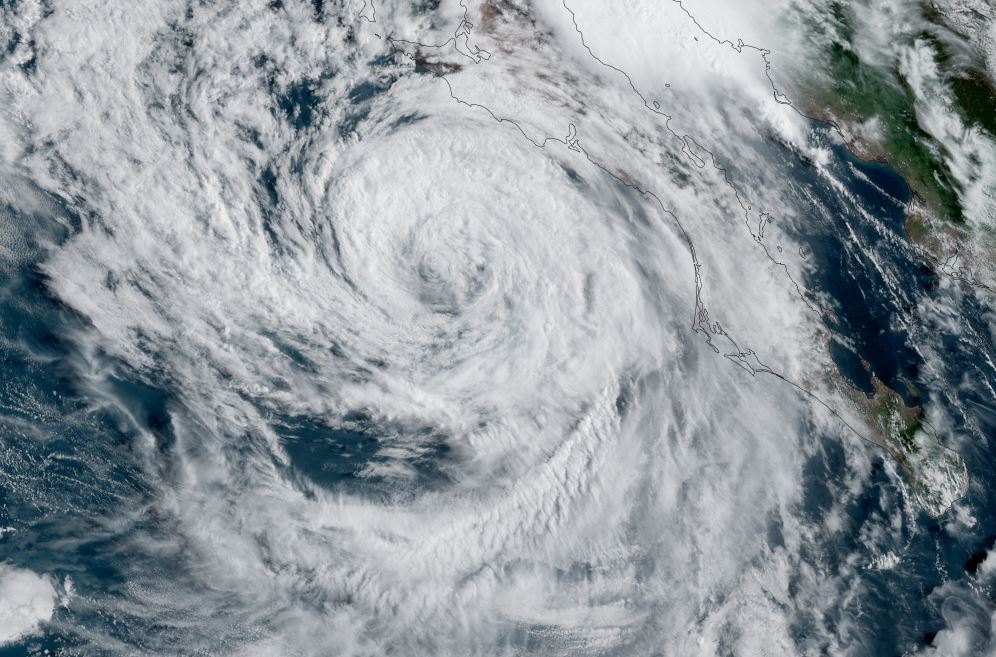
Javier SW of the Baja
Javier will stay weak as it stays west and parallels the Baja.
SUMMARY OF 900 AM MDT...1500 UTC...INFORMATION
----------------------------------------------
LOCATION...20.7N 112.2W
ABOUT 210 MI...340 KM SW OF CABO SAN LUCAS MEXICO
MAXIMUM SUSTAINED WINDS...45 MPH...75 KM/H
PRESENT MOVEMENT...NW OR 320 DEGREES AT 9 MPH...15 KM/H
MINIMUM CENTRAL PRESSURE...1000 MB...29.53 INCHES
Tropicast: Visible Satellite
Tropical Weather Forecast:
Javier will drift north northwest then gradually weaken as it moves over colder water.
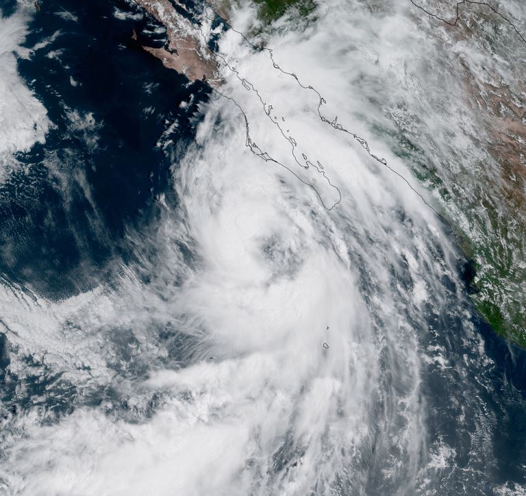