Fay classified
The Weather Situation
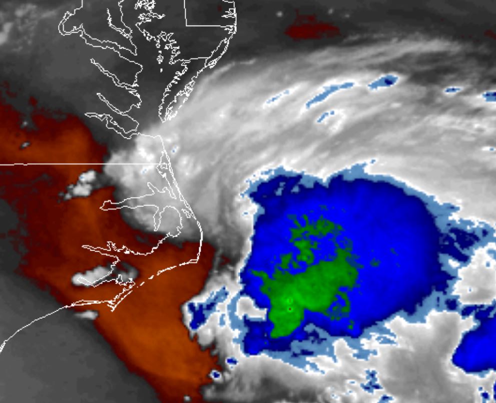
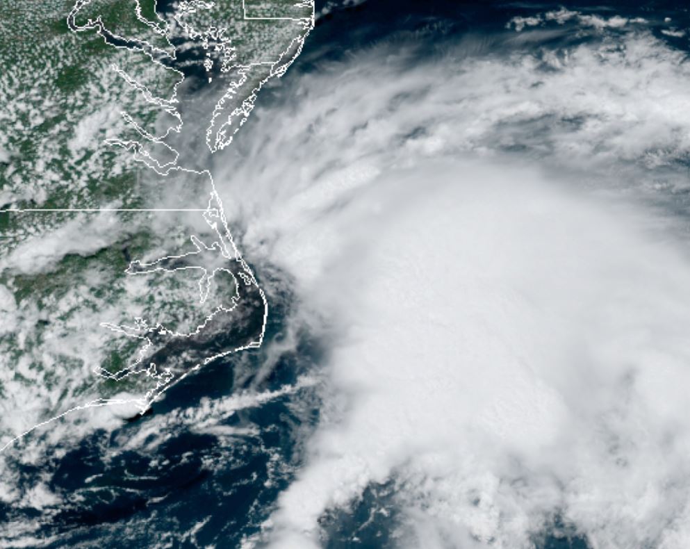
Recon has confirmed that tropical storm Fay has formed east of North Carolina. A new low center formed early this afternoon ENE of Cape Hatteras. The TC is sheared and is fighting dry air to the west. Despite this, very heavy rainfall is possible along the coast.
For more frequent updates: Twitter: https://twitter.com/richjohnsonwx
Current tropical weather
As of 5:00 PM EDT Tropical Storm Fay was centered at 35.5 N / 74.9 W or 40 miles ENE of Cape Hatteras, NC. It was moving north at 7 mph. Officially top sustained winds are estimated at 45 mph. Pressure was estimated at 1005 hPa (mb).
Tropical Weather Forecast:
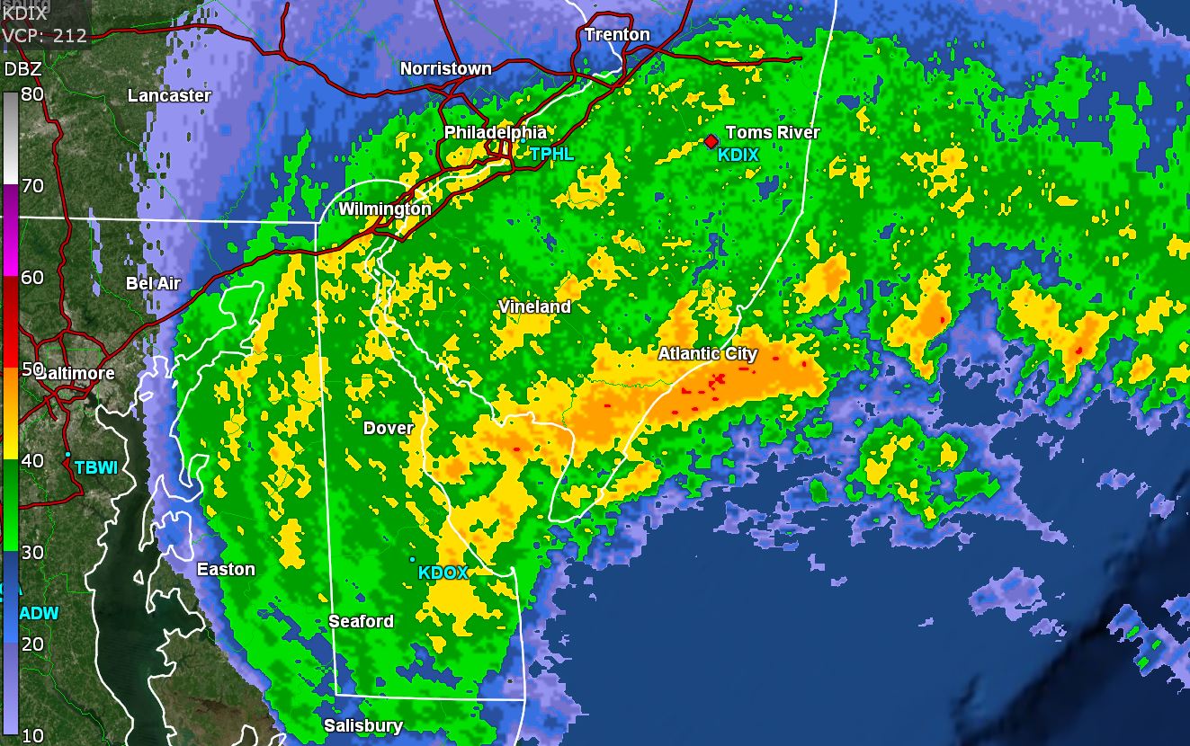
Fay will make landfall along the New Jersey to New York City coast late Friday into tomorrow night. The greatest threat is from flooding rainfall.
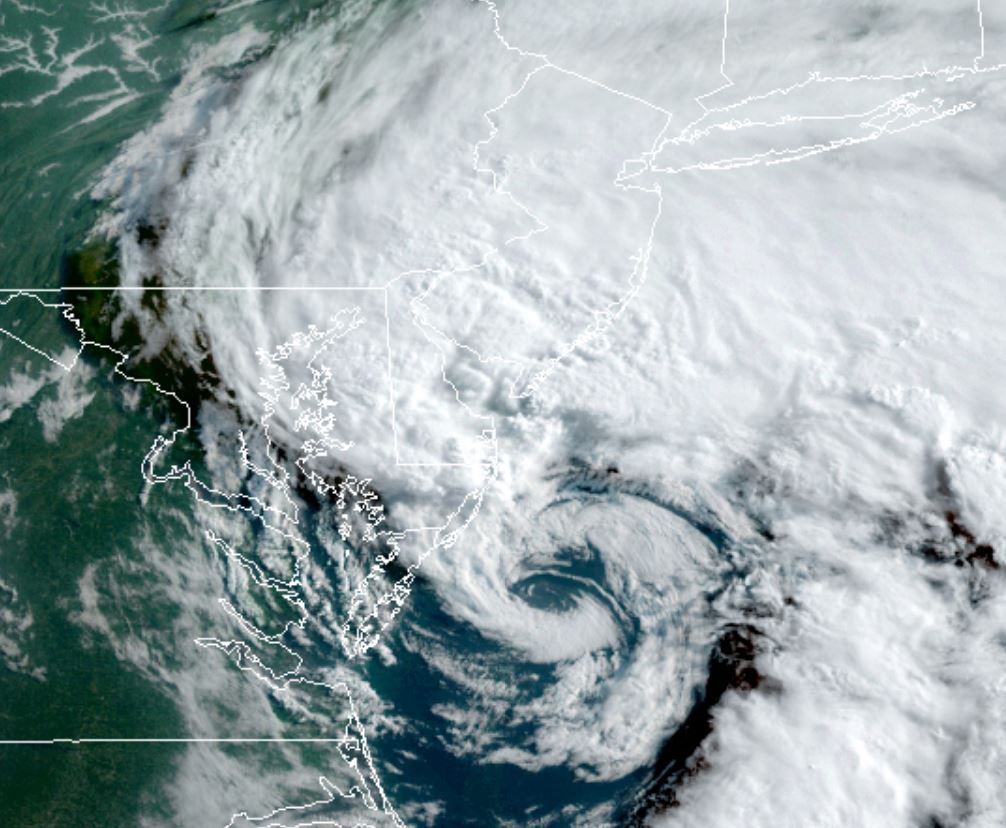
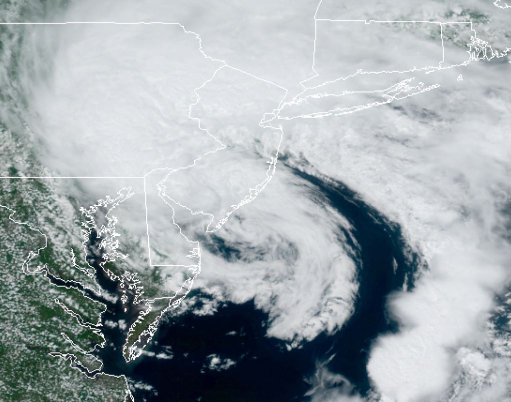
Tropicast: Visible Satellite
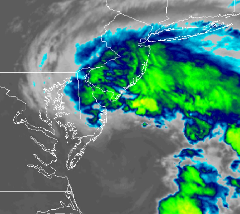
Tropicast: water Vapor Satellite