Recon investigating karen
The Weather Situation
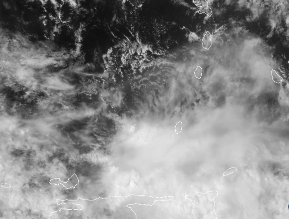
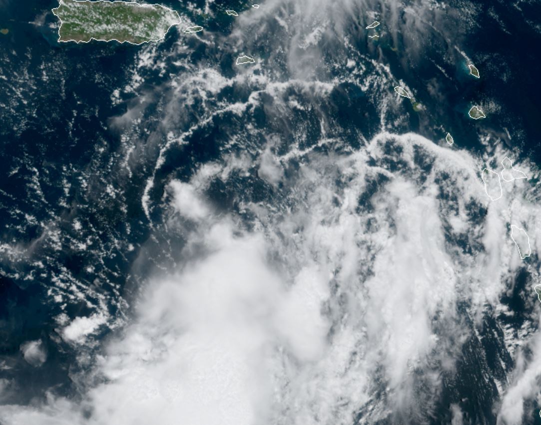
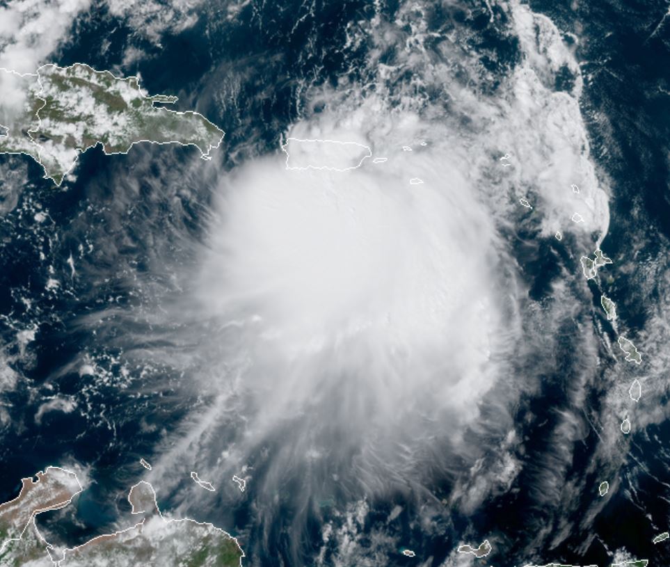
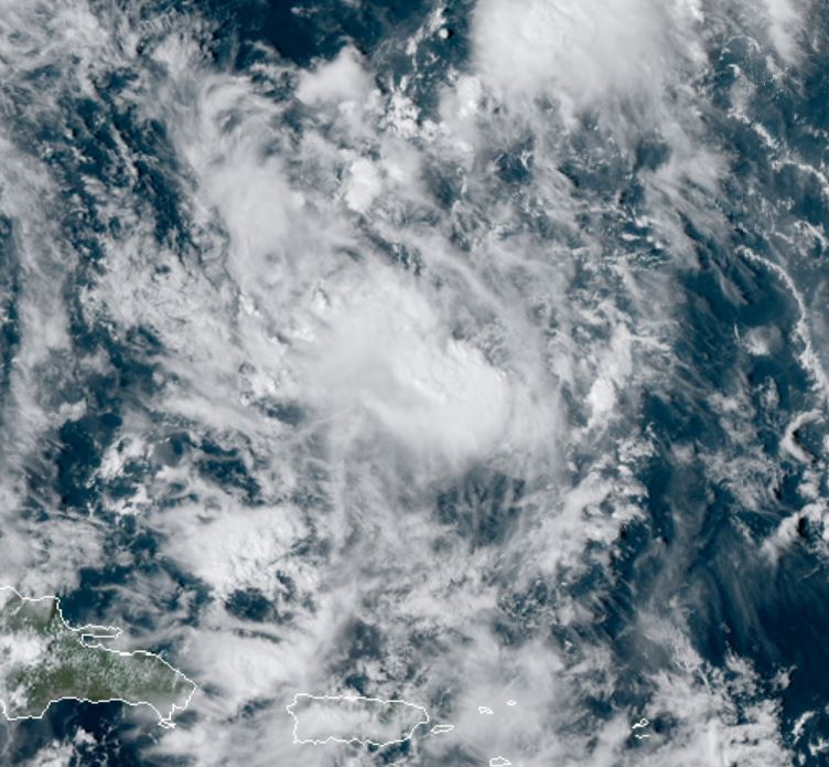
Satellite shows that Karen is poorly defined. It has a broad low level circulation in the SE Caribbean Sea. IMO it is not a storm.
For more frequent updates: Twitter: https://twitter.com/richjohnsonwx
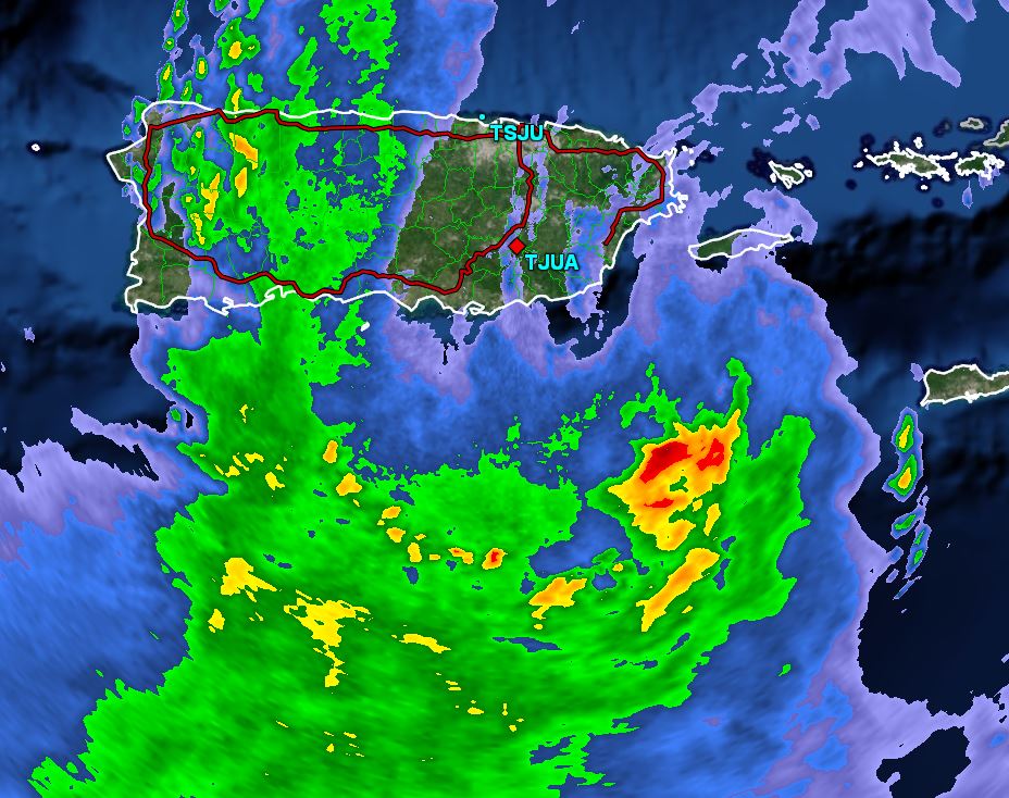
Current tropical weather
As of 2:00 PM AST Karen was centered at 12.7 N / 62.3 W or 60 miles north of Grenada. It was moving WNW at 10 mph. Top sustained winds are estimated at 40 mph. Pressure was estimated at 1006 hPa.
Tropical Weather Forecast:
Karen is forecast to move north across the eastern Caribbean over the next few days. This is also dependent if the circulation holds together.
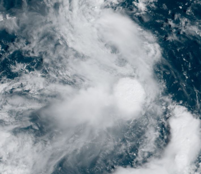
Tropicast: Visible Satellite