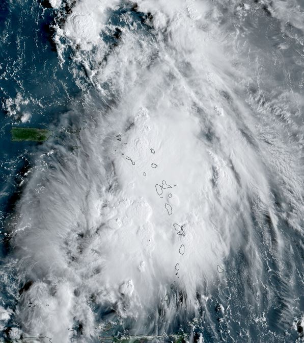
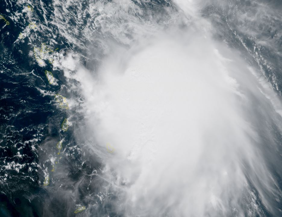
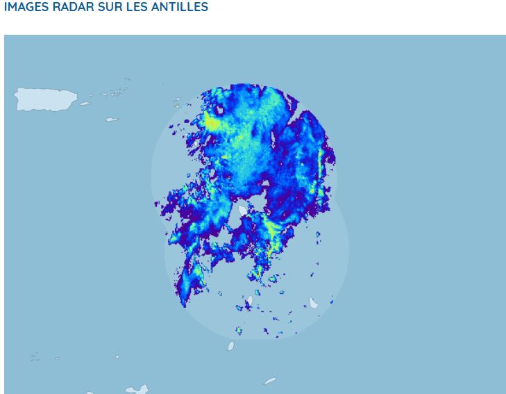
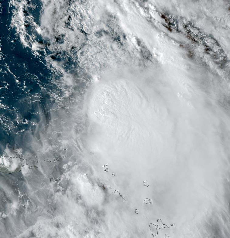
Jerry will be a threat to the Leewards
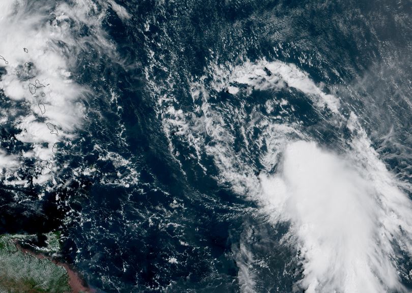
Jerry is organizing today with a strong core of convection developing.
The Weather Situation
SUMMARY OF 1100 AM AST...1500 UTC...INFORMATION
-----------------------------------------------
LOCATION...11.5N 44.6W
ABOUT 1315 MI...2120 KM ESE OF THE NORTHERN LEEWARD ISLANDS
MAXIMUM SUSTAINED WINDS...45 MPH...75 KM/H
PRESENT MOVEMENT...W OR 280 DEGREES AT 24 MPH...39 KM/H
MINIMUM CENTRAL PRESSURE...1006 MB...29.71 INCHES
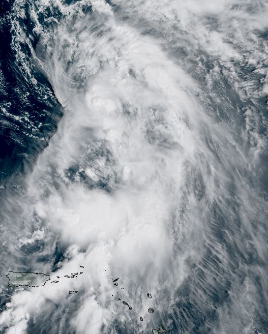
Tropicast: RAMMB/CIRA slider GOES 19 Visible Satellite
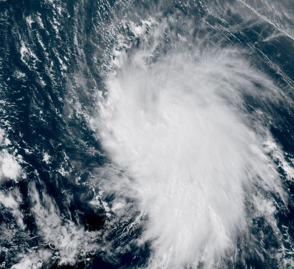
Tropical Weather Forecast:
Jerry will move to just NE of the NE Leewards by a few days. After Thursday it will turn northward into the central North Atlantic.