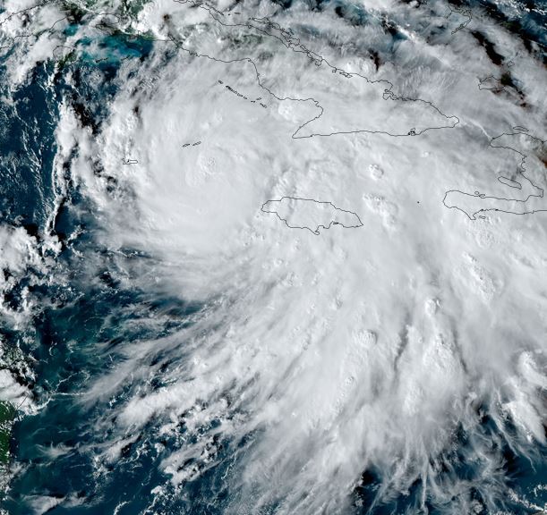
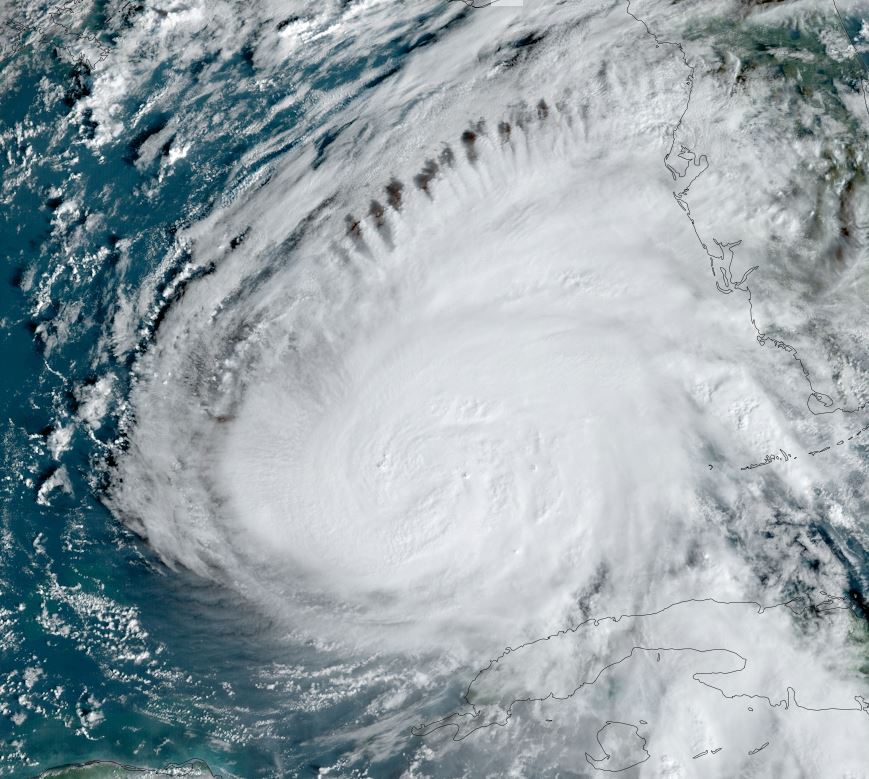
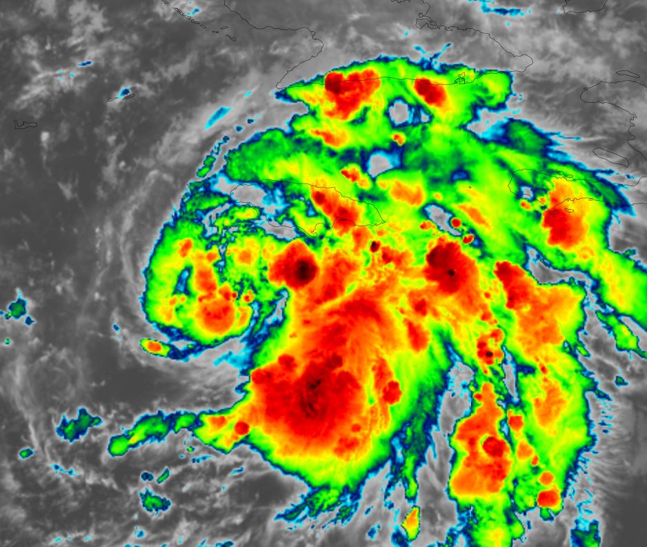
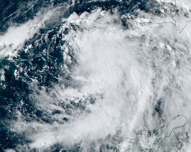
Rafael moving toward Jamaica
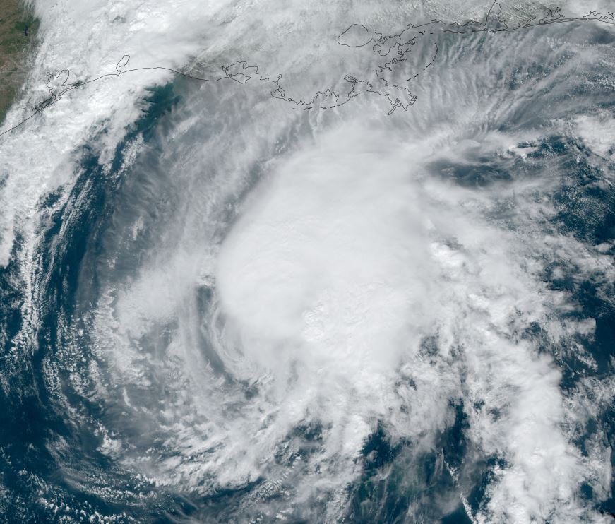
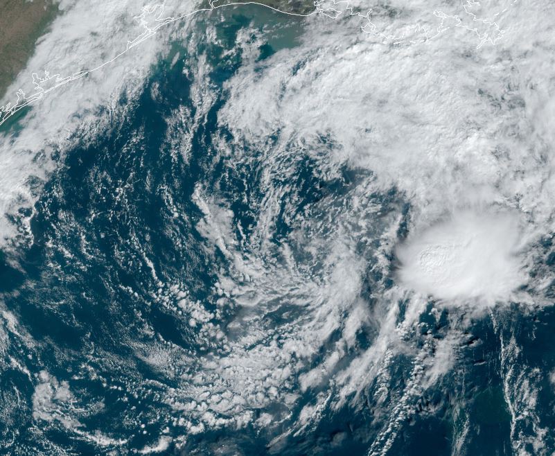
Rafael was named a tropical storm late Sunday afternoon and slowly organized on Monday. Early today banding is taking shape as well as increased convection. Very heavy rainfall will increase across Jamaica today.
The Weather Situation
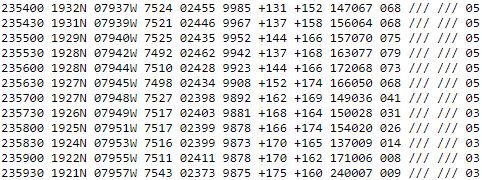
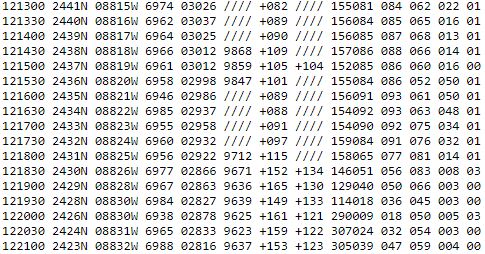
SUMMARY OF 400 AM EST...0900 UTC...INFORMATION
----------------------------------------------
LOCATION...17.0N 78.0W
ABOUT 105 MI...170 KM SW OF KINGSTON JAMAICA
ABOUT 265 MI...425 KM SE OF GRAND CAYMAN
MAXIMUM SUSTAINED WINDS...60 MPH...95 KM/H
PRESENT MOVEMENT...NW OR 325 DEGREES AT 13 MPH...20 KM/H
MINIMUM CENTRAL PRESSURE...993 MB...29.33 INCHES
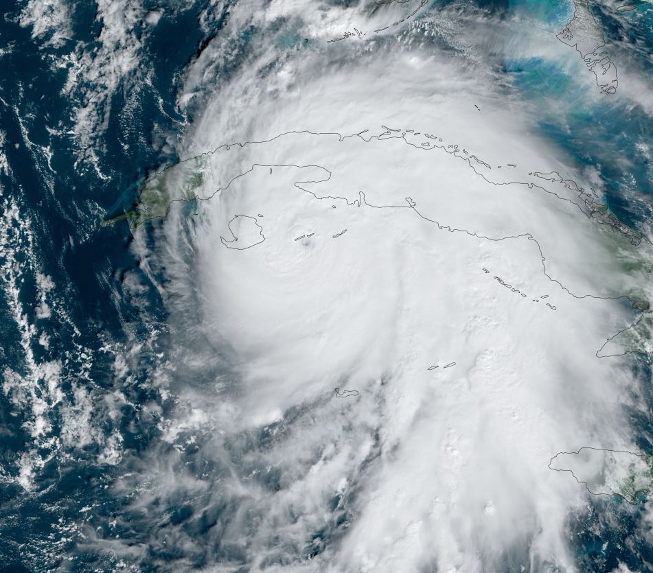
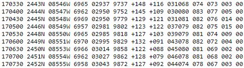
Tropicast: Visible Satellite RAMMB / CIRA Slider Tuesday Early Morning
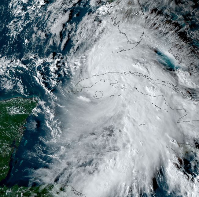
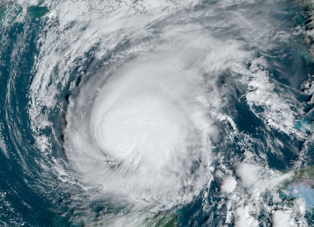
Tropicast: Visible Satellite RAMMB / CIRA Slider Monday Afternoon
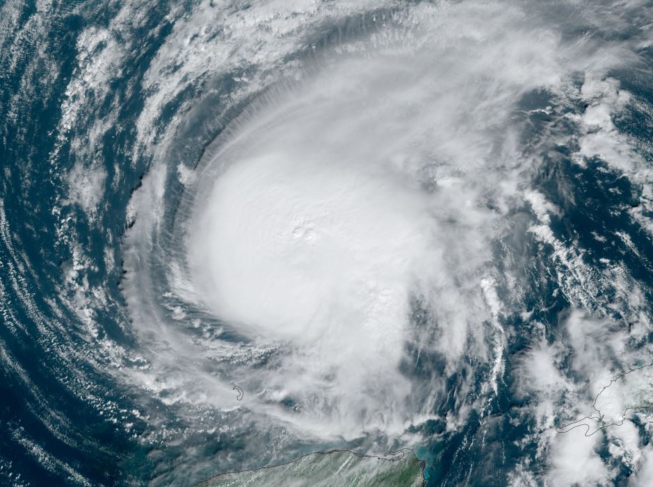
Tropical Weather Forecast:
The center of Rafael will move near or a bit west of western Jamaica soon. Very heavy rainfall is east of the center and will produce flash flooding. It will track over the Cayman Islands this evening before crossing western Cuba as a hurricane on Wednesday then into the central Gulf of Mexico. It appears that Rafael will weaken as it moves toward the northern Gulf later this week..... Please keep advised as changes are always possible.