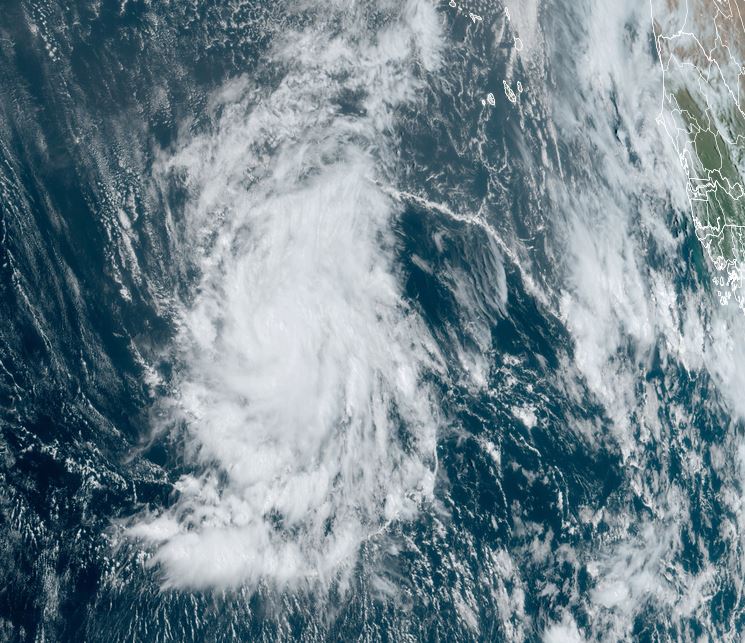
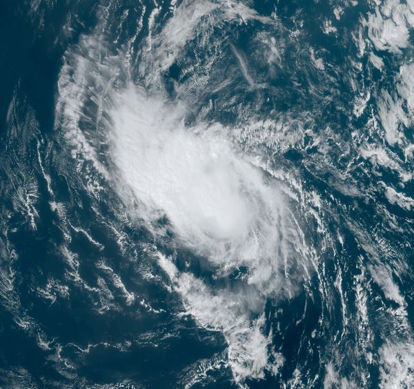
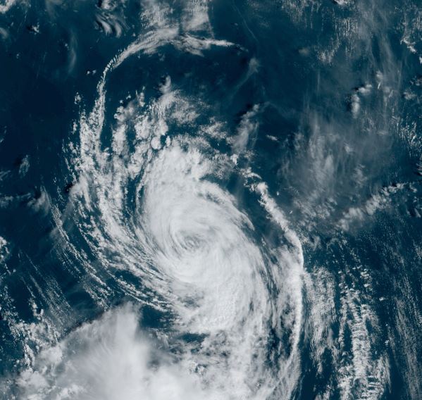
Leslie slowly organizing
Satellite imagery shows that Leslie is in the deep tropics and is gradually becoming better organized as it slowly lifts to the NW.
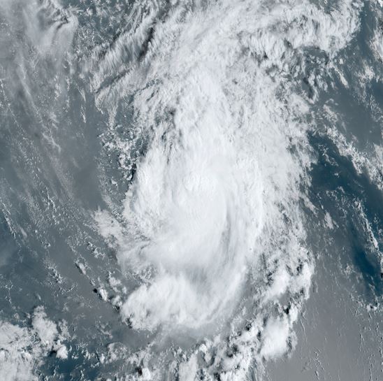
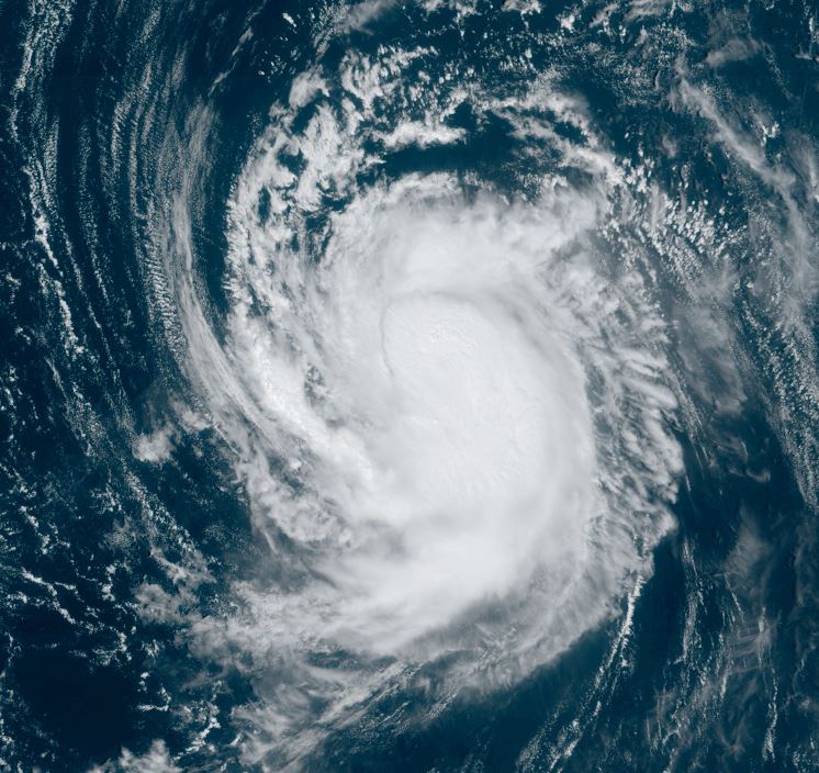
The Weather Situation
SUMMARY OF 500 PM AST...2100 UTC...INFORMATION
----------------------------------------------
LOCATION...10.1N 31.5W
ABOUT 580 MI...930 KM WSW OF THE SOUTHERNMOST CABO VERDE ISLANDS
MAXIMUM SUSTAINED WINDS...50 MPH...85 KM/H
PRESENT MOVEMENT...W OR 270 DEGREES AT 6 MPH...9 KM/H
MINIMUM CENTRAL PRESSURE...1001 MB...29.56 INCHES
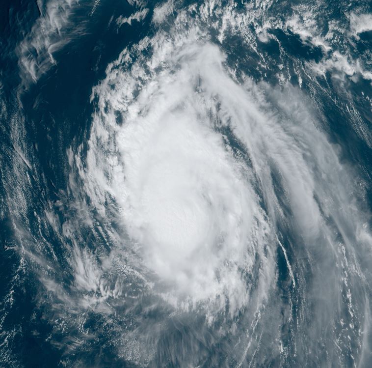
Tropicast: Visible Satellite RAMMB / CIRA Slider Friday Afternoon
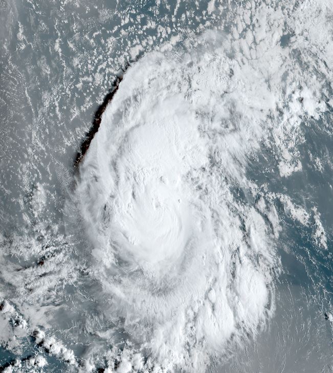
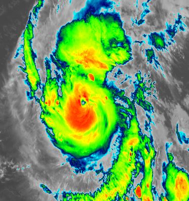
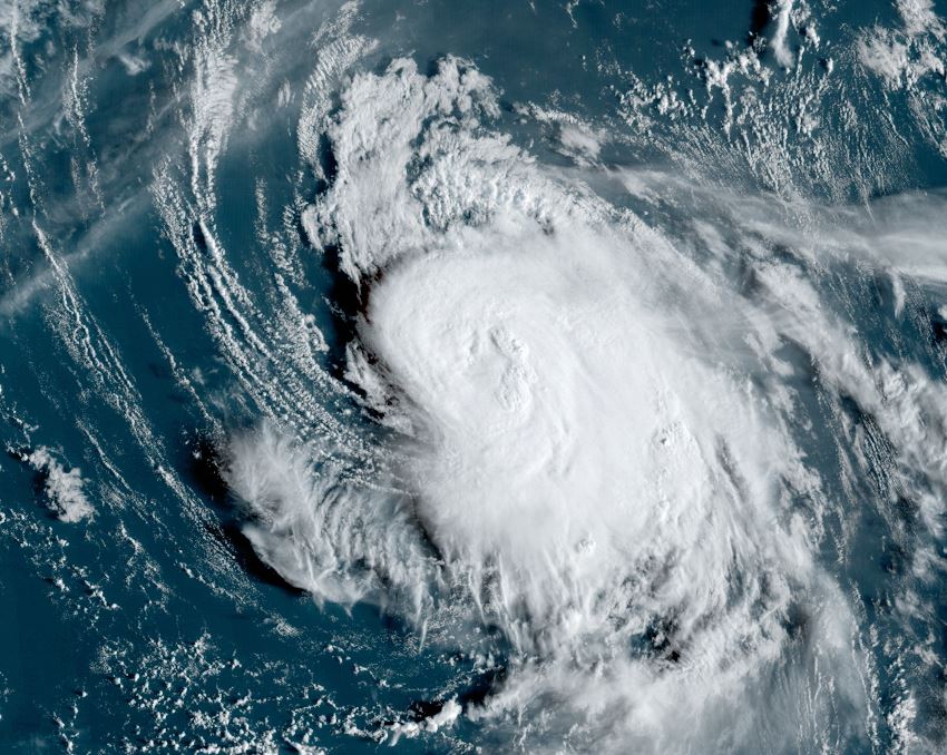
Tropical Weather Forecast:
Leslie will follow in a similar track a few days behind Kirk. This track will also take it generally NW then more northward into the central open North Atlantic waters.