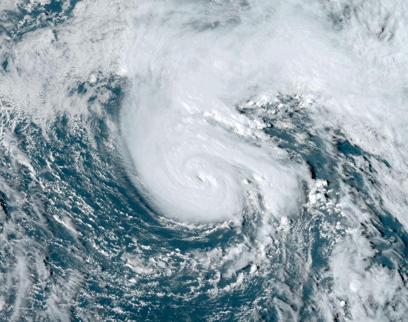
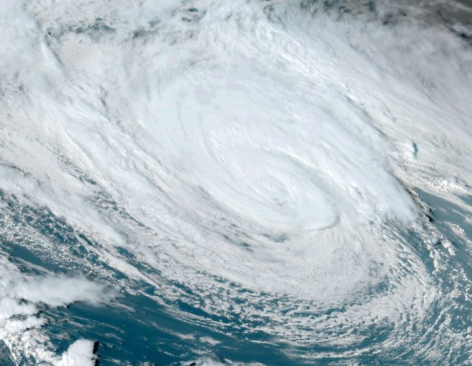
Isaac spinning over open waters
Tropical storm Isaac is a small tropical cyclone. Convection is not very deep over the circulation center as ocean temperatures are not as warm as over the deep tropics to fuel stronger convection.
The Weather Situation
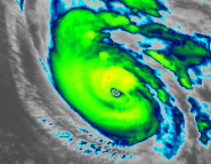
SUMMARY OF 500 PM AST...2100 UTC...INFORMATION
----------------------------------------------
LOCATION...37.5N 50.6W
ABOUT 1285 MI...2070 KM W OF THE AZORES
ABOUT 880 MI...1415 KM ENE OF BERMUDA
MAXIMUM SUSTAINED WINDS...50 MPH...85 KM/H
PRESENT MOVEMENT...E OR 80 DEGREES AT 10 MPH...17 KM/H
MINIMUM CENTRAL PRESSURE...995 MB...29.39 INCHES
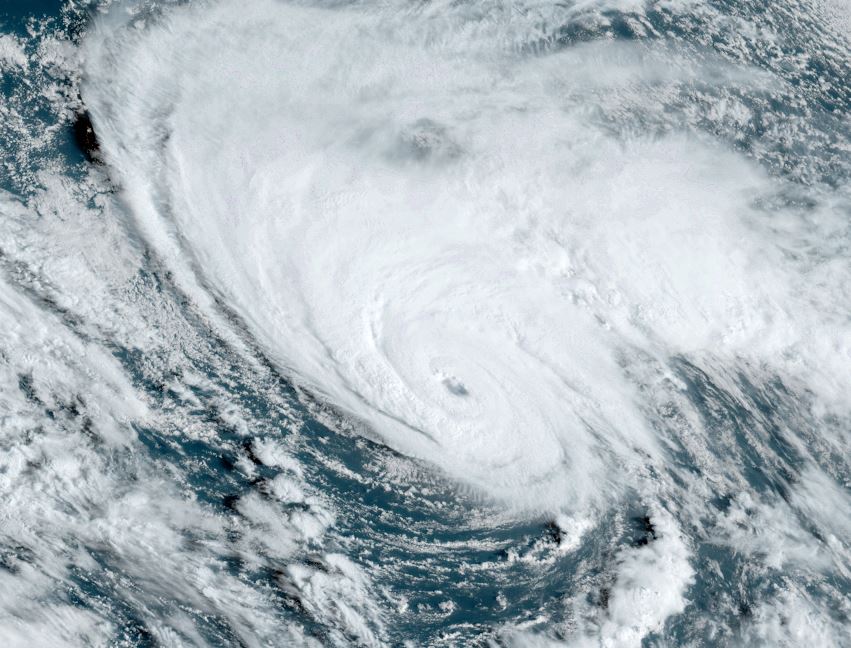
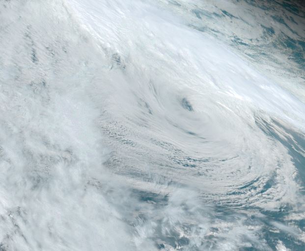
Tropicast: Visible Satellite RAMMB / CIRA Slider Thursday Afternoon
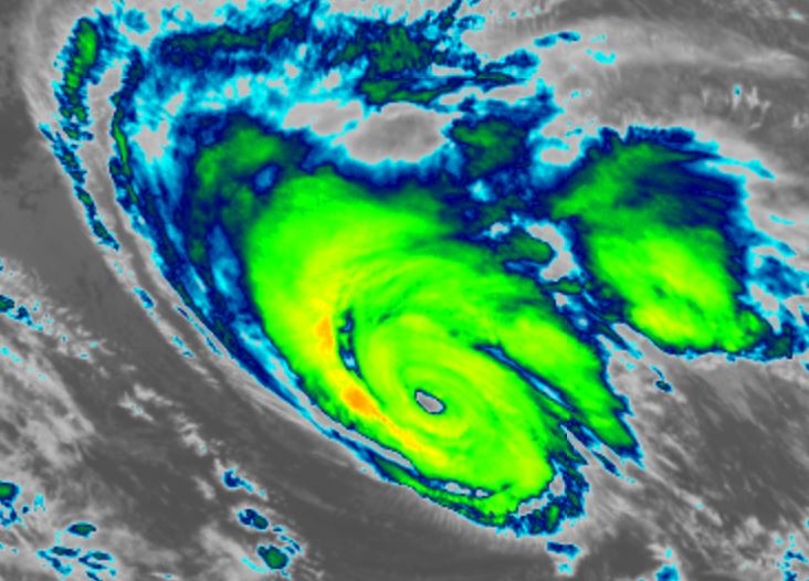
Tropical Weather Forecast:
Isaac is expected to stay in the northern north Atlantic as it moves generally east, north of the Azores during this weekend. It will then become extratropical over the cooler ocean waters.