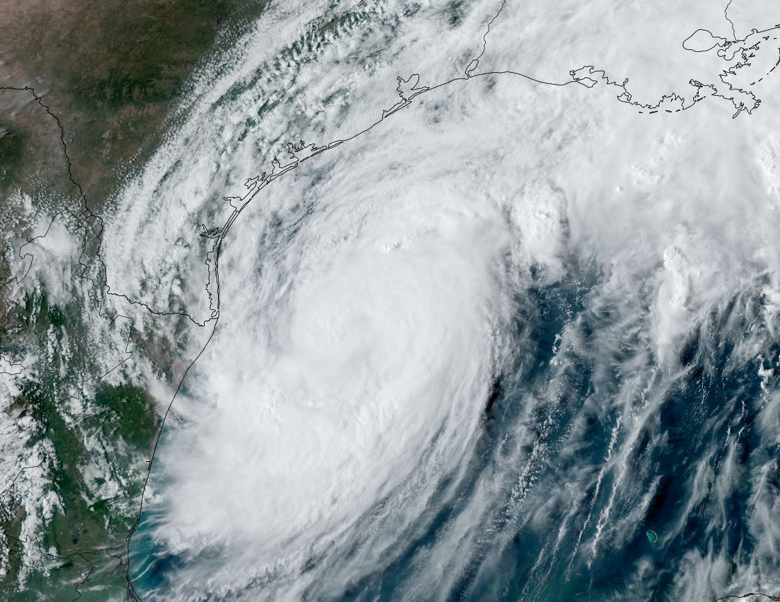
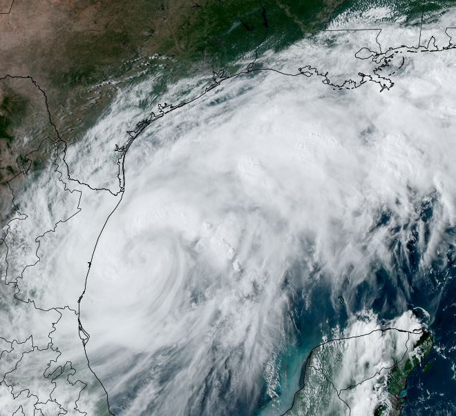
Francine on way to becoming hurricane
Francine has formed in the southwestern Gulf of Mexico along the end of a stationary front. Satellite imagery shows banding with deep convection to the north. Francine will become a hurricane by tonight.
The Weather Situation
SUMMARY OF 400 PM CDT...2100 UTC...INFORMATION
----------------------------------------------
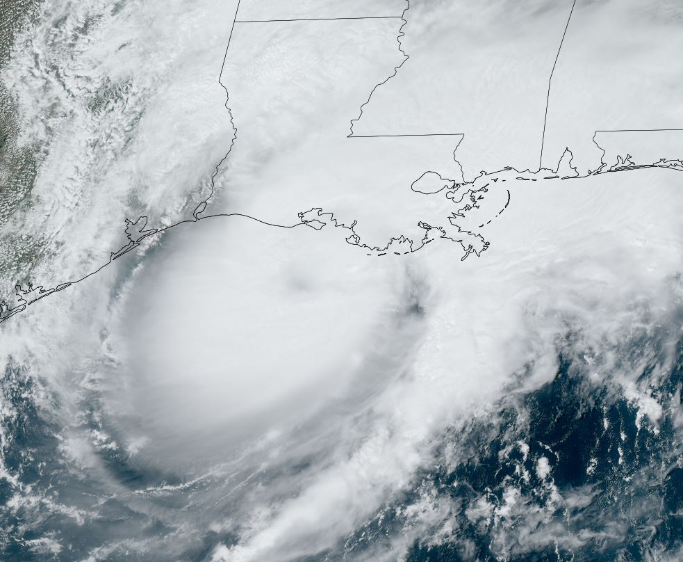
LOCATION...24.0N 96.0W
ABOUT 150 MI...245 KM SSE OF MOUTH OF THE RIO GRANDE
ABOUT 435 MI...700 KM SSW OF CAMERON LOUISIANA
MAXIMUM SUSTAINED WINDS...65 MPH...100 KM/H
PRESENT MOVEMENT...NNW OR 340 DEGREES AT 7 MPH...11 KM/H
MINIMUM CENTRAL PRESSURE...996 MB...29.42 INCHES
Tropicast: Visible Satellite RAMMB CIRA Slider Monday afternoon
Tropical Weather Forecast:
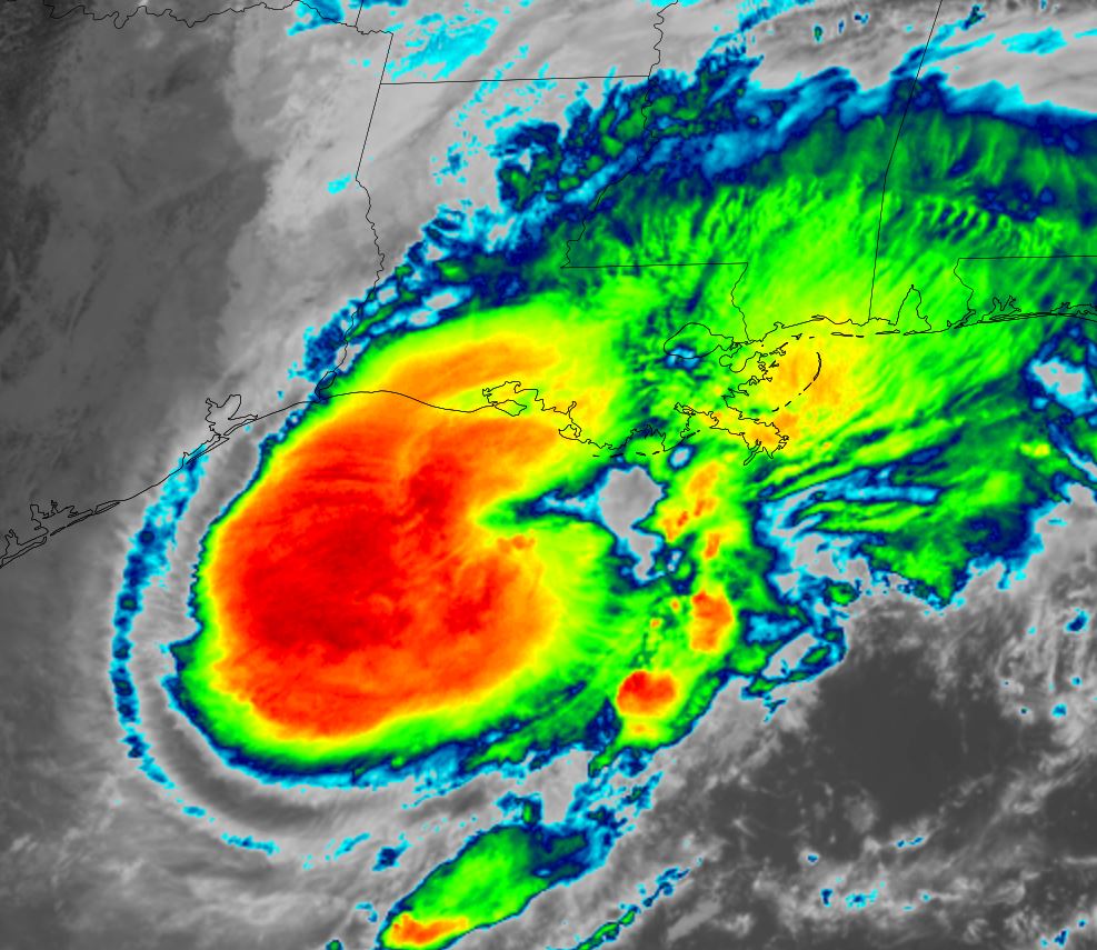
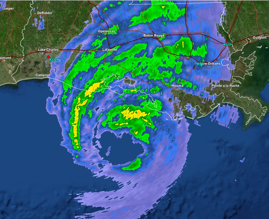
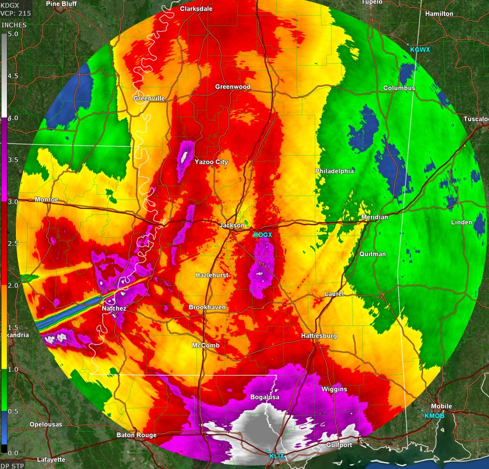
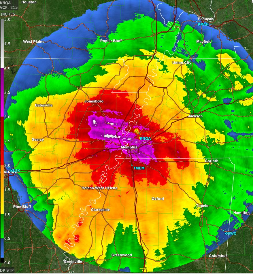
Francine is forecast to become a hurricane and make landfall on the central Louisiana coast by Wednesday morning / midday. Hurricane preparations should be completed by tomorrow before tropical storm force wind gusts arrive Tuesday evening.