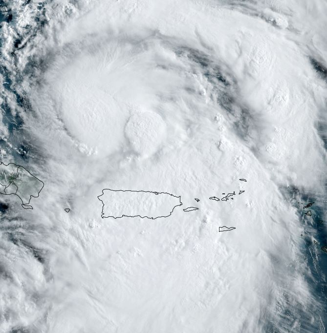
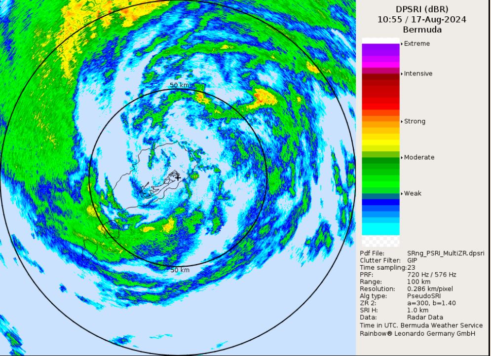
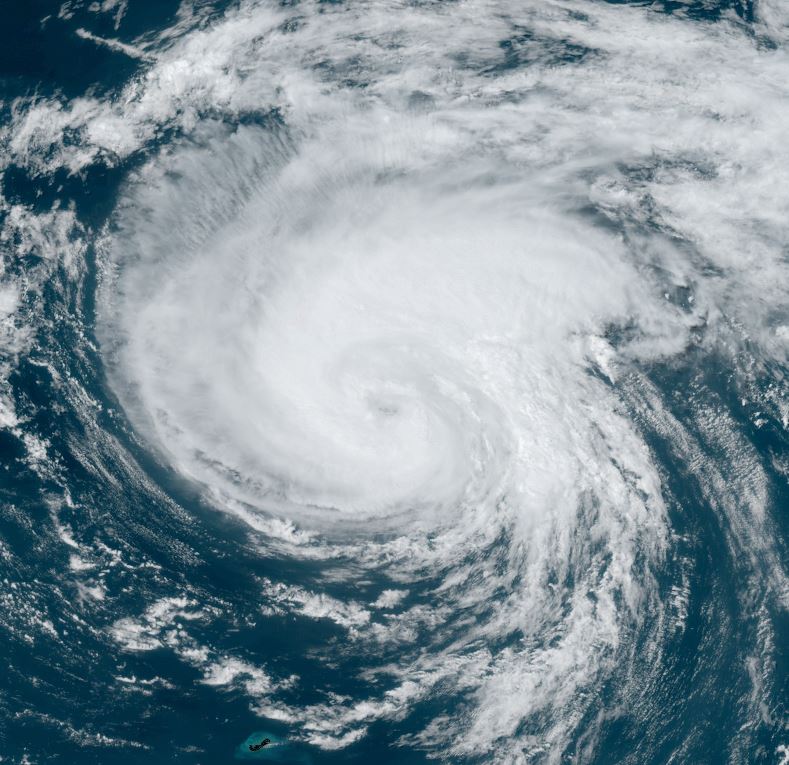
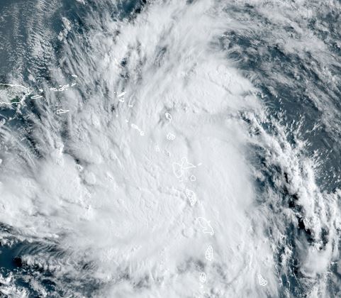
Ernesto near the Leewards
Ernesto is a minimal tropical storm near the Leewards. Visible satellite imagery shows a solid central dense overcast with banding, indicating increasing organization.
The Weather Situation
SUMMARY OF 800 AM AST...1200 UTC...INFORMATION
----------------------------------------------
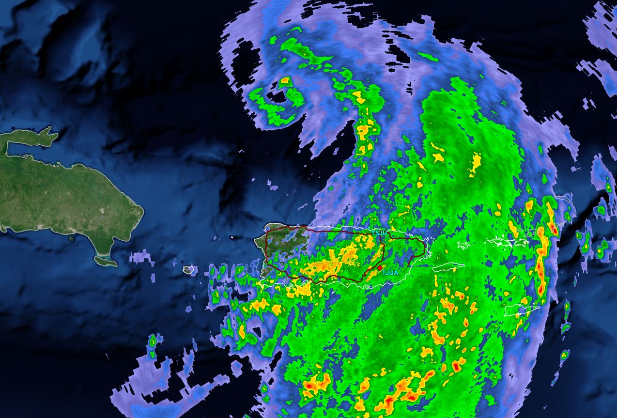
LOCATION...16.6N 61.9W
ABOUT 35 MI...55 KM NW OF GUADELOUPE
ABOUT 300 MI...480 KM ESE OF SAN JUAN PUERTO RICO
MAXIMUM SUSTAINED WINDS...45 MPH...75 KM/H
PRESENT MOVEMENT...W OR 280 DEGREES AT 18 MPH...30 KM/H
MINIMUM CENTRAL PRESSURE...1005 MB...29.68 INCHES
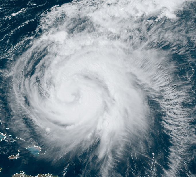
Tropicast: Visible Satellite RAAMB CIRA Slider
Tropical Weather Forecast:
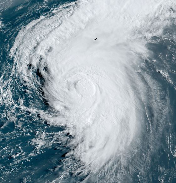
Ernesto is forecast to turn north away from the Leewards and east of the Bahamas. Bermuda may see impacts this weekend. Strengthening is expected with Ernesto