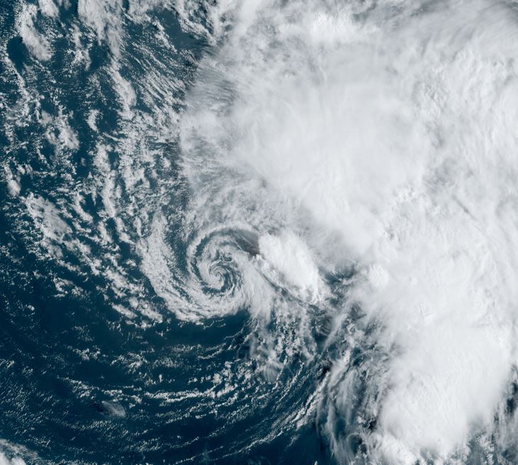
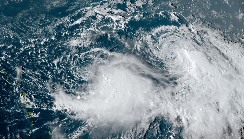
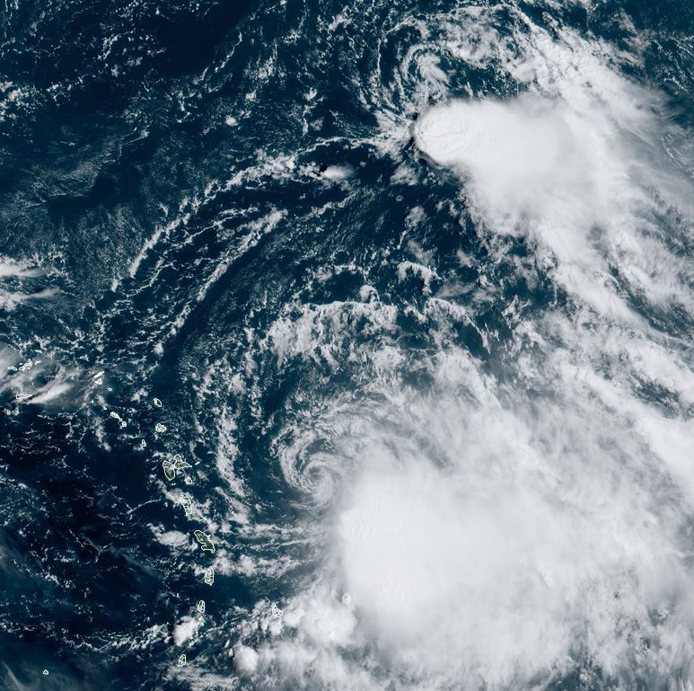
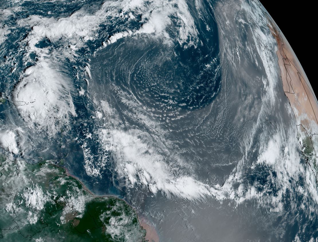
Philippe remains minimal tropical storm
Philippe was name a few days ago. It is in the open north Atlantic far from land at this time. Philippe has been battling westerly wind shear and has weakened a little since earlier today.
The Weather Situation
SUMMARY OF 500 PM AST...2100 UTC...INFORMATION
----------------------------------------------
LOCATION...17.3N 46.7W
ABOUT 1080 MI...1740 KM E OF THE NORTHERN LEEWARD ISLANDS
MAXIMUM SUSTAINED WINDS...45 MPH...75 KM/H
PRESENT MOVEMENT...W OR 275 DEGREES AT 15 MPH...24 KM/H
MINIMUM CENTRAL PRESSURE...1002 MB...29.59 INCHES
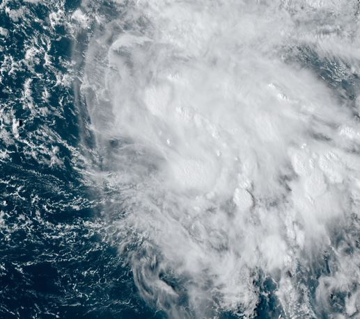
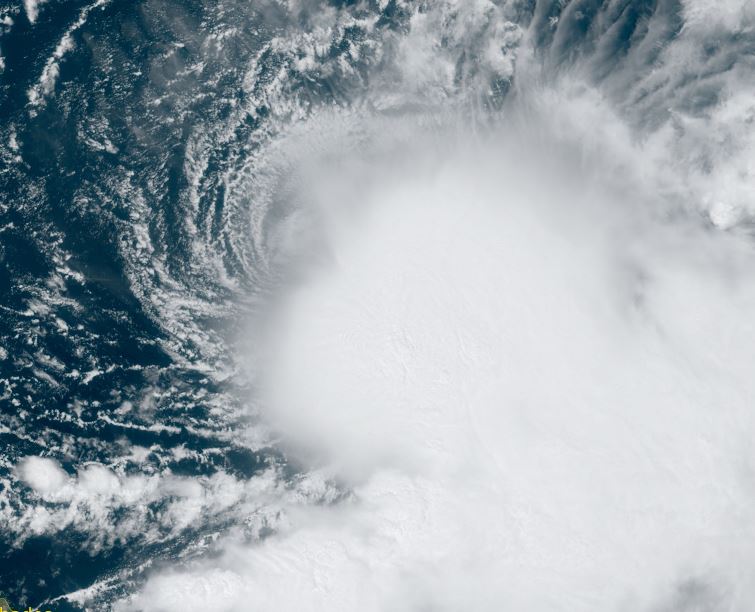
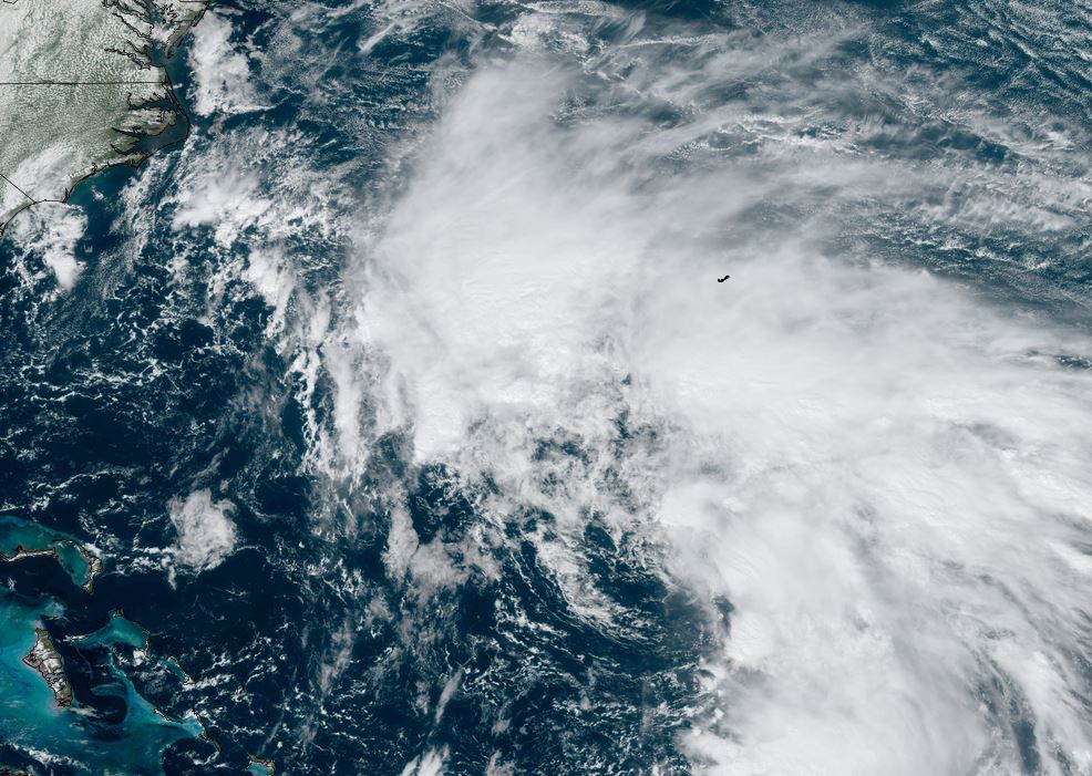
Tropicast: Visible satellite Sunday afternoon
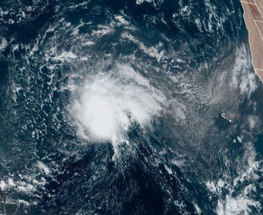
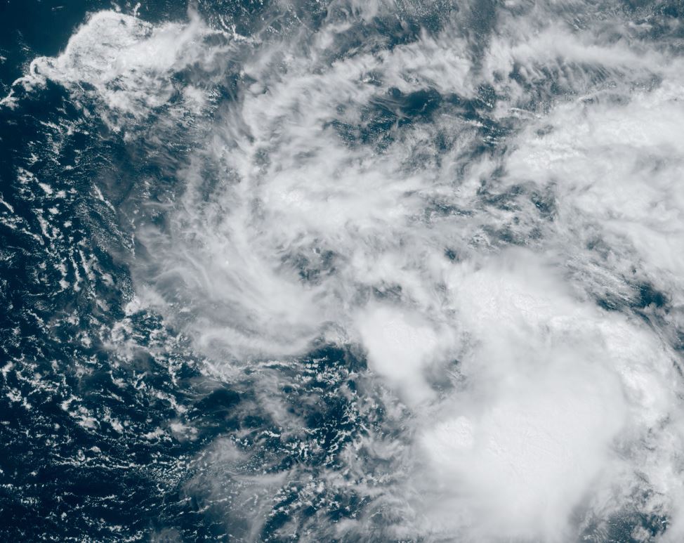
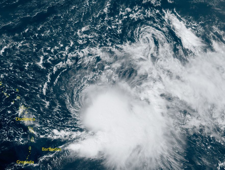
Tropicast: Visible satellite Monday Morning
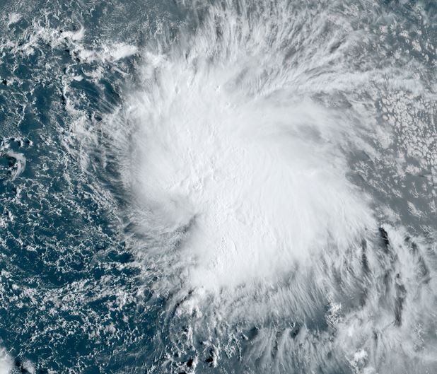
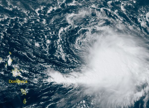
Tropical Weather Forecast:
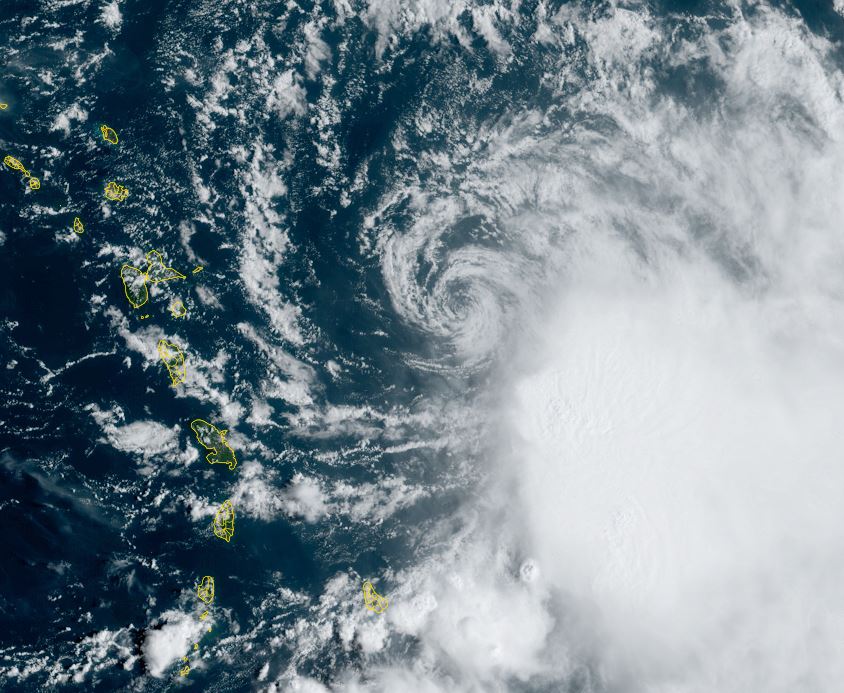
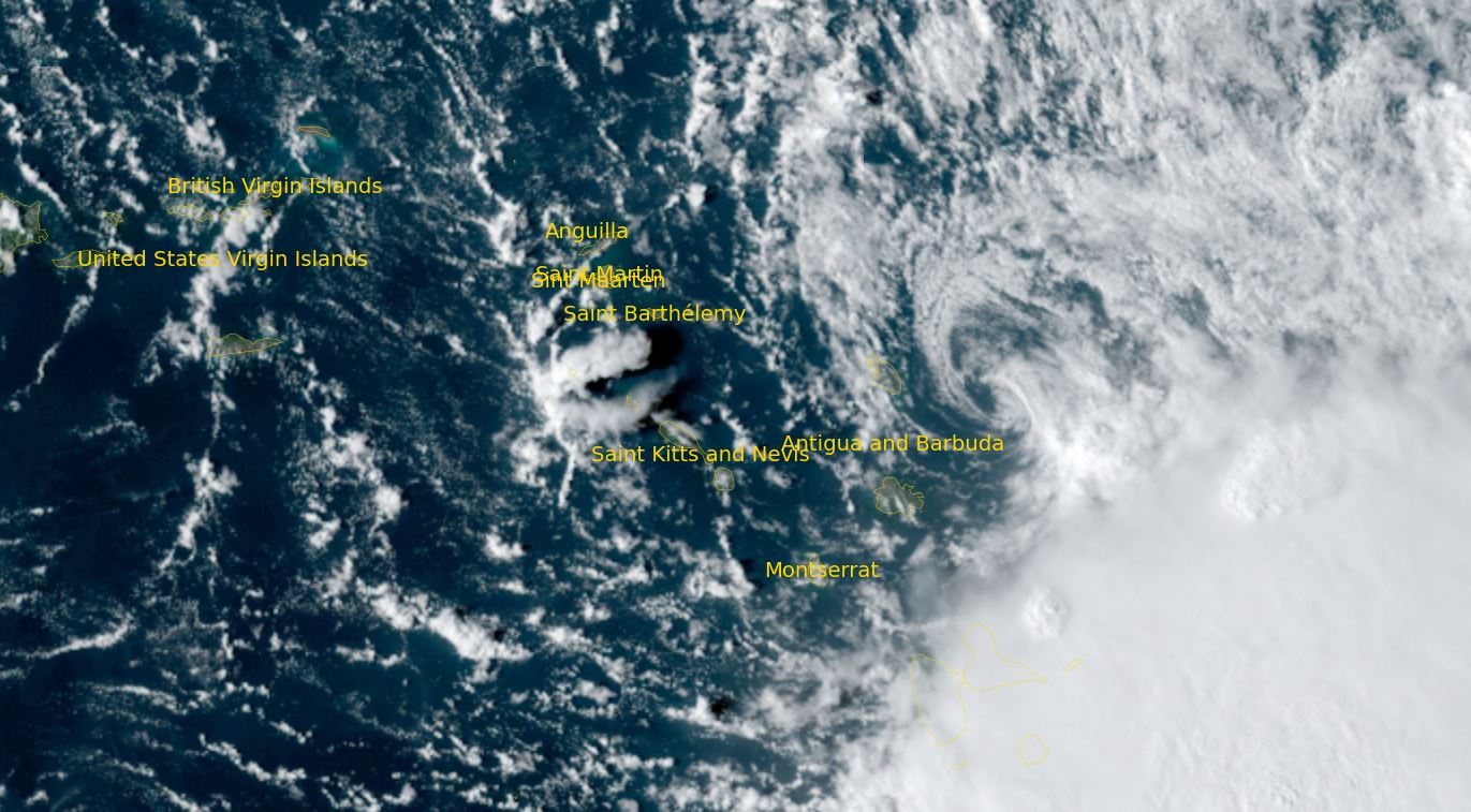
Philippe will continue wnw over the open Atlantic for the next several days as a tropical storm. It is expected to stay well north of the Lesser Antilles.