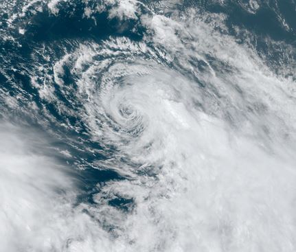
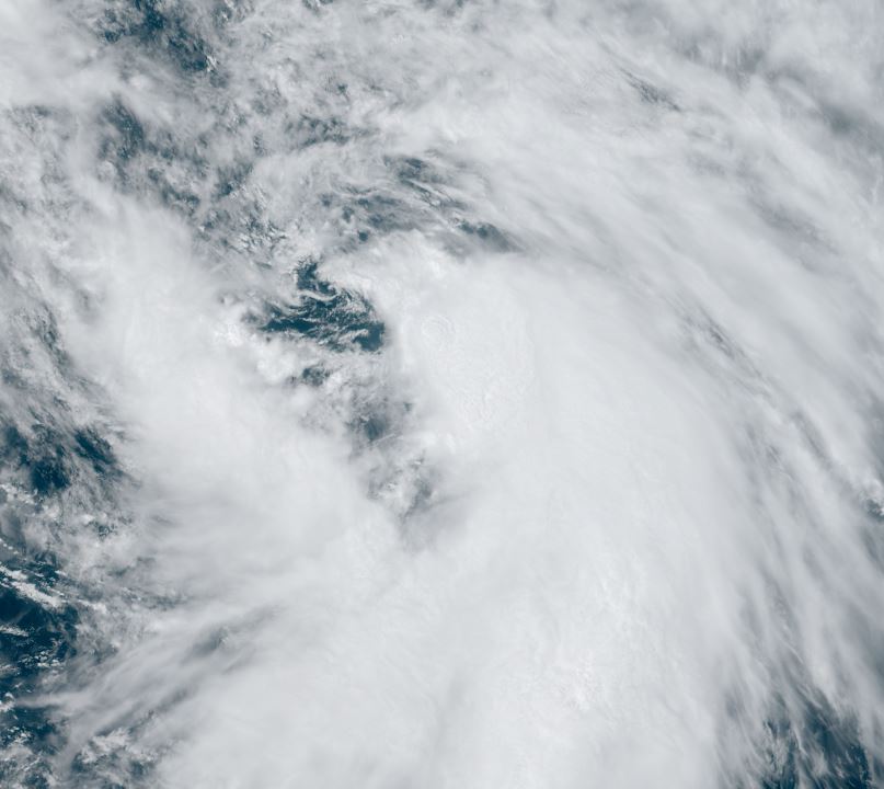
Rina fighting shear
Satellite shows deep convective bursts to the east and south of the low center similar to Philippe. It remain a minimal tropical storm.
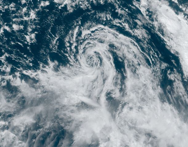
The Weather Situation
SUMMARY OF 500 PM AST...2100 UTC...INFORMATION
----------------------------------------------
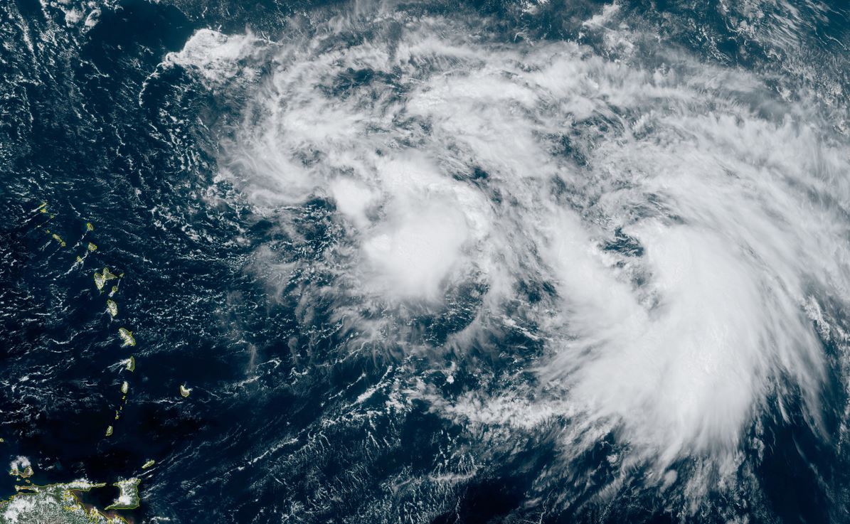
LOCATION...18.1N 46.2W
ABOUT 1110 MI...1785 KM E OF THE NORTHERN LEEWARD ISLANDS
MAXIMUM SUSTAINED WINDS...40 MPH...65 KM/H
PRESENT MOVEMENT...NW OR 310 DEGREES AT 14 MPH...22 KM/H
MINIMUM CENTRAL PRESSURE...1004 MB...29.65 INCHES
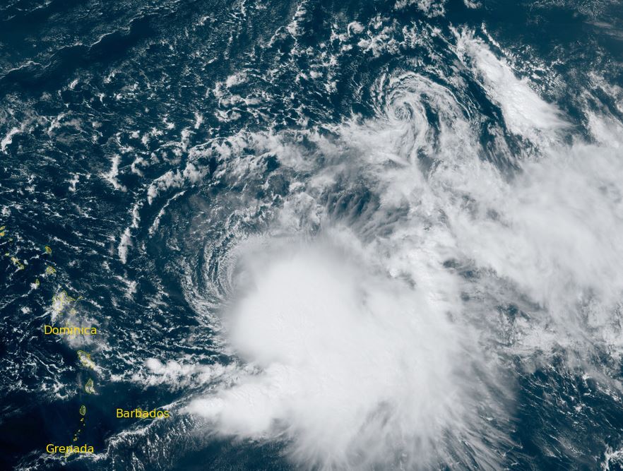
Tropicast: Visible satellite
Tropicast: Visible satellite
Tropical Weather Forecast:
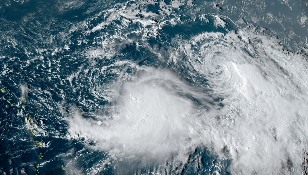
Rina is expected to interact with tropical storm Philippe. It will stay to the northeast of the Lesser Antilles.