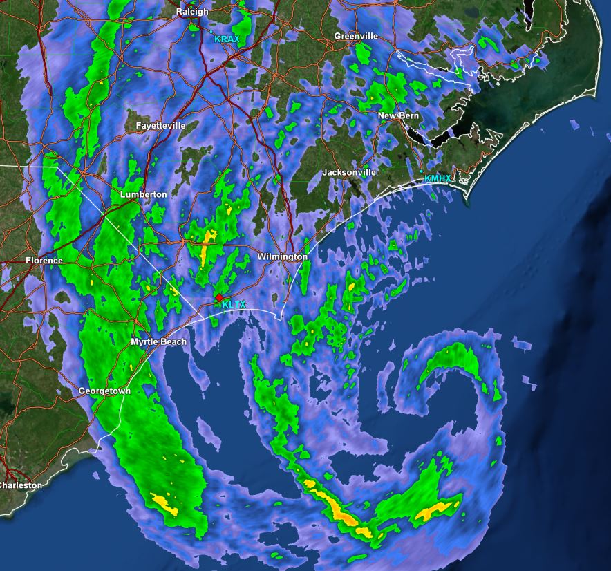
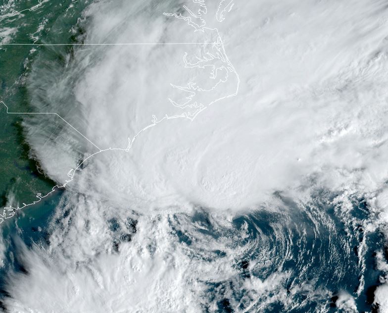
TD 16 south of the NC coast
TD 16 will bring tropical storm force winds to the NC coast, as well as heavy rainfall from North Carolina to Maryland to the Southern New England coast. Surge of 1-4 ft is possible.
The Weather Situation
SUMMARY OF 800 AM EDT...1200 UTC...INFORMATION
----------------------------------------------
LOCATION...31.3N 75.3W
ABOUT 250 MI...465 KM ESE OF CHARLESTON SOUTH CAROLINA
ABOUT 245 MI...450 KM S OF CAPE HATTERAS NORTH CAROLINA
MAXIMUM SUSTAINED WINDS...50 MPH...85 KM/H
PRESENT MOVEMENT...N OR 350 DEGREES AT 14 MPH...22 KM/H
MINIMUM CENTRAL PRESSURE...996 MB...29.41 INCHES
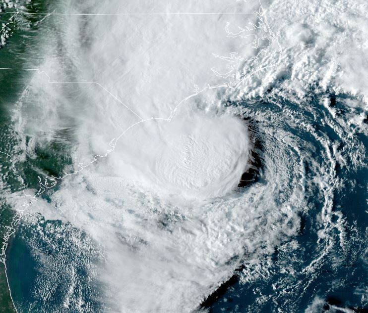
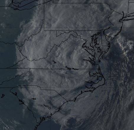
Tropicast: Visible satellite
Tropical Weather Forecast:
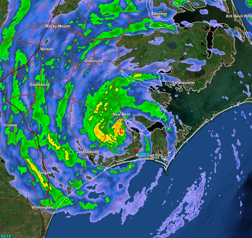
TD 16 will be a storm at landfall early tomorrow morning. Most of the effects will be later this afternoon and tonight on the NC coast.