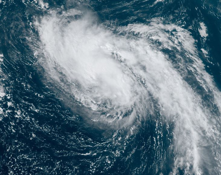
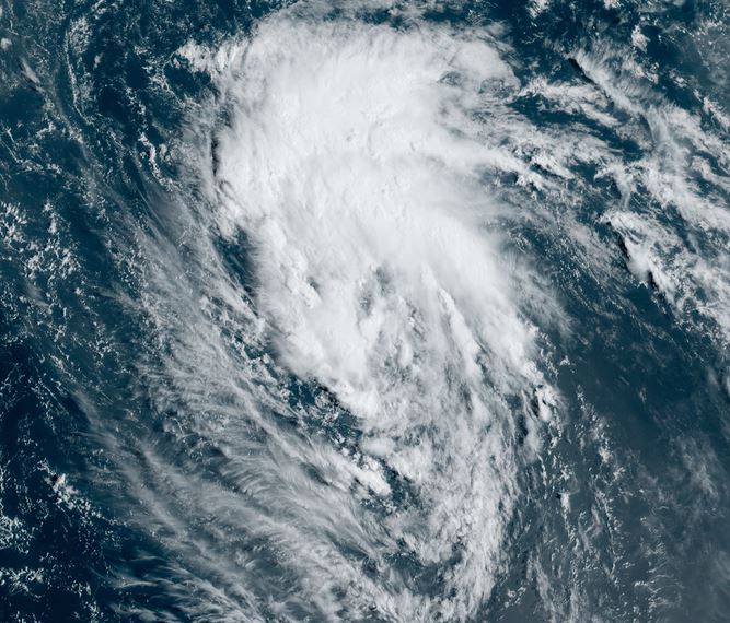
TD 15 will be a storm soon
Satellite imagery shows a low center spinning under deep convection. NHC will likely upgrade TD15 to the next tropical storm of this season.
The Weather Situation
SUMMARY OF 500 AM AST...0900 UTC...INFORMATION
----------------------------------------------
LOCATION...17.9N 45.3W
ABOUT 1070 MI...1725 KM ENE OF THE LESSER ANTILLES
MAXIMUM SUSTAINED WINDS...35 MPH...55 KM/H
PRESENT MOVEMENT...NNW OR 330 DEGREES AT 14 MPH...22 KM/H
MINIMUM CENTRAL PRESSURE...1007 MB...29.74 INCHES
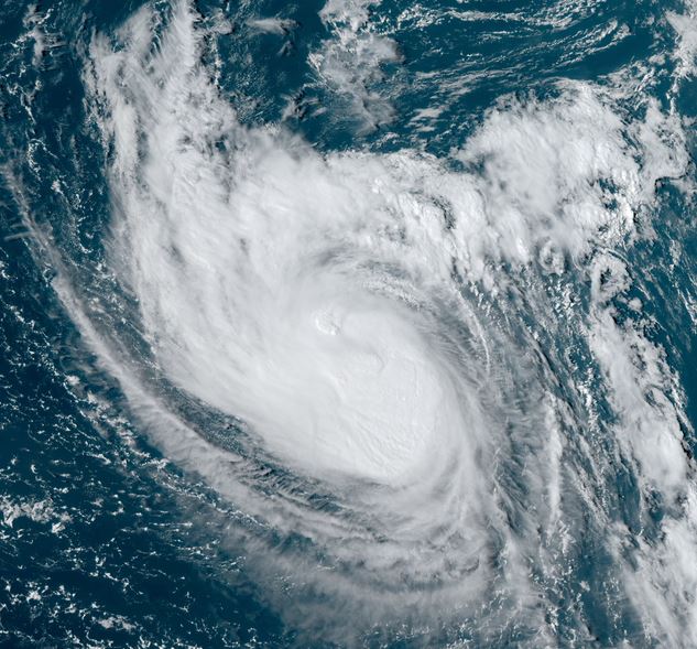
Tropicast: Visible satellite
Tropical Weather Forecast:
TD 15 will generally track to the NNW over the next several days into the open north Atlantic ocean. Bermuda could possibly see some effects by the middle of next week.