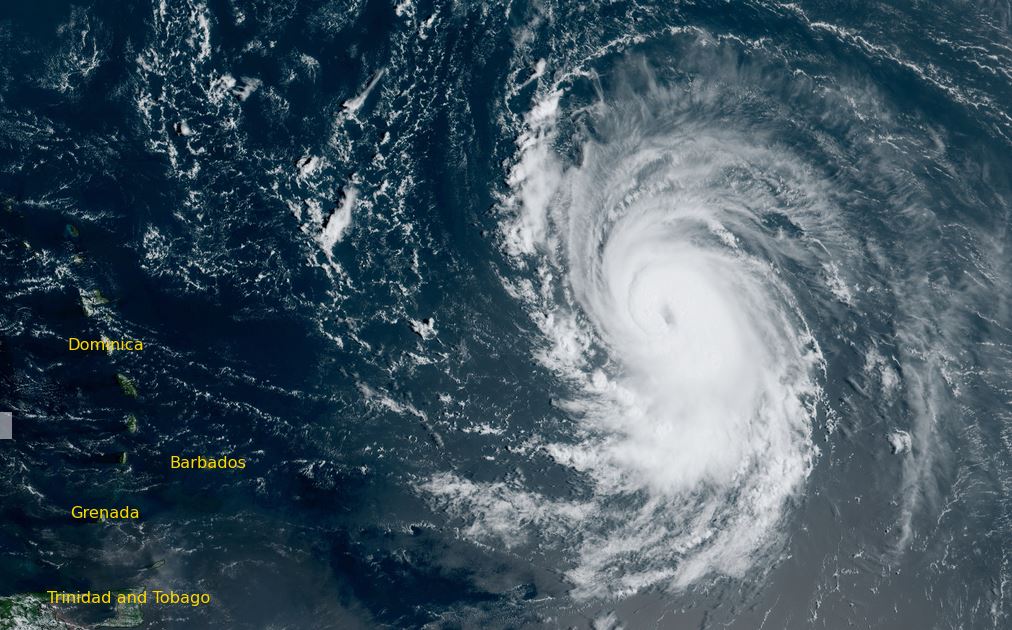
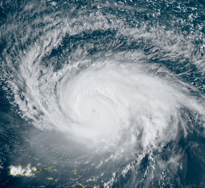
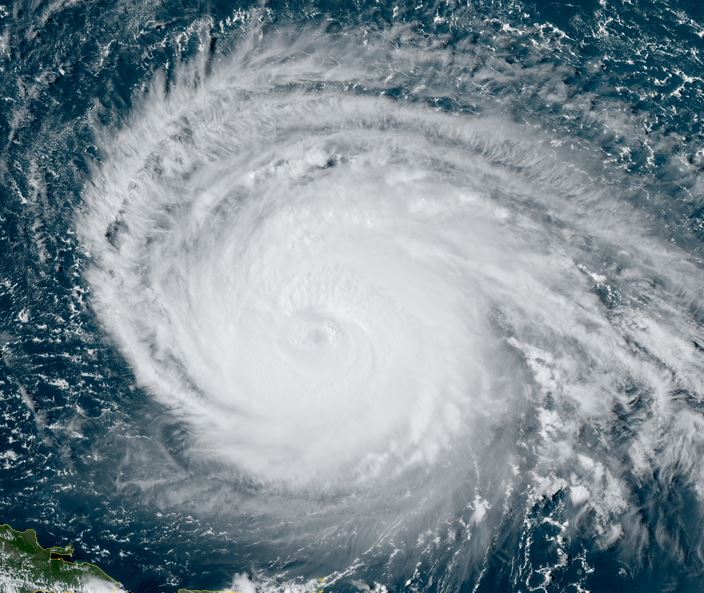
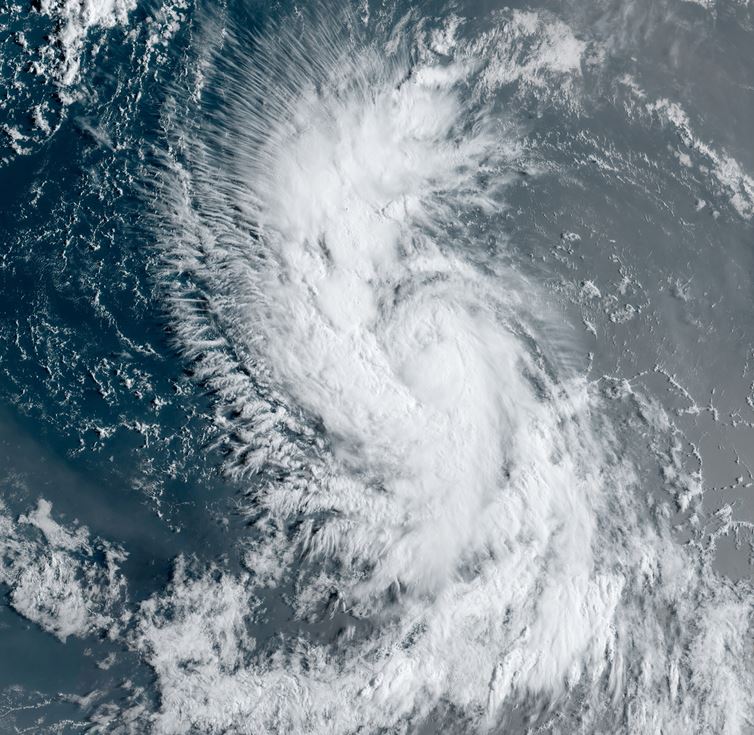
Lee forecast to become major hurricane
Lee formed yesterday well east of the lesser antilles. Satellite shows good banding and growing convection and Lee should be a hurricane by this evening.
The Weather Situation
SUMMARY OF 1100 AM AST...1500 UTC...INFORMATION
-----------------------------------------------
LOCATION...14.1N 45.5W
ABOUT 1200 MI...1930 KM E OF THE NORTHERN LEEWARD ISLANDS
MAXIMUM SUSTAINED WINDS...70 MPH...110 KM/H
PRESENT MOVEMENT...WNW OR 285 DEGREES AT 14 MPH...22 KM/H
MINIMUM CENTRAL PRESSURE...994 MB...29.36 INCHES
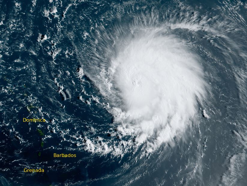
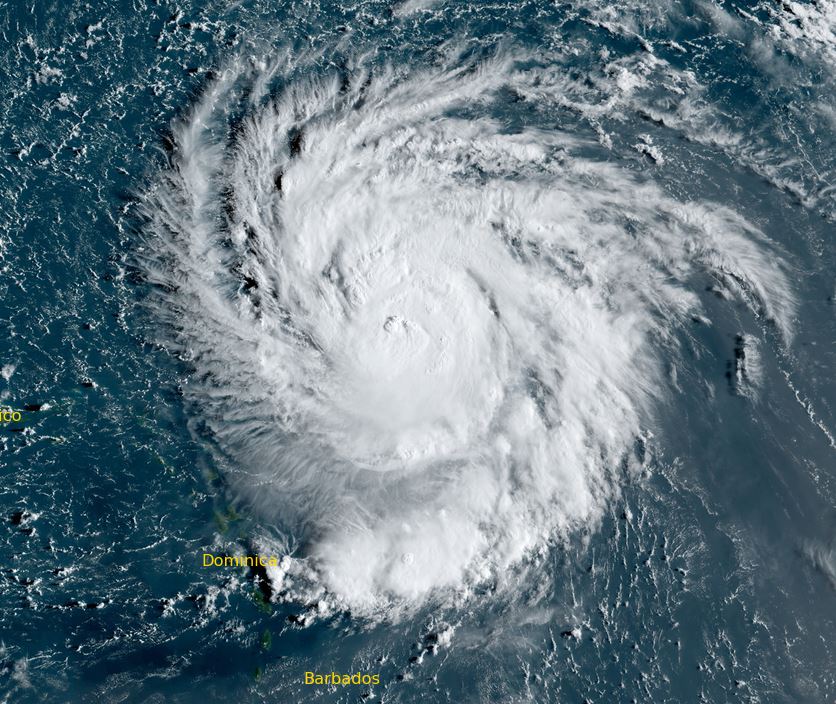
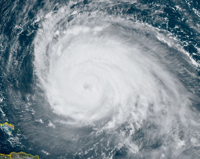
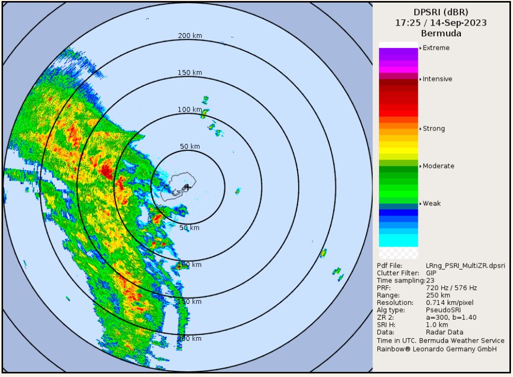
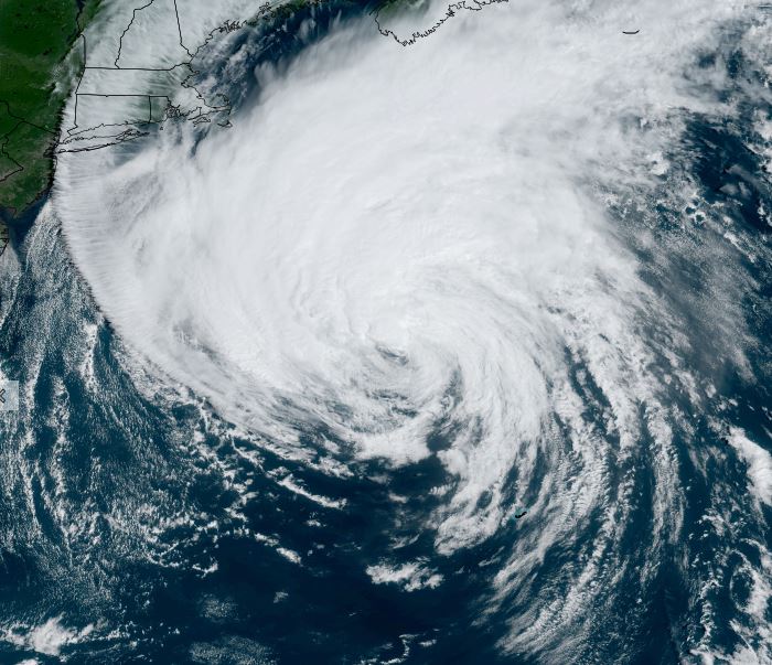
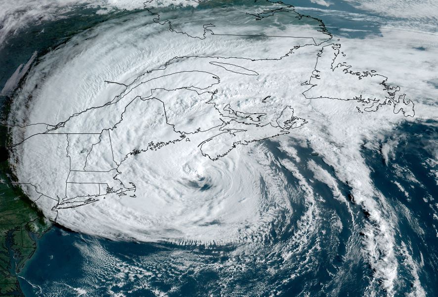
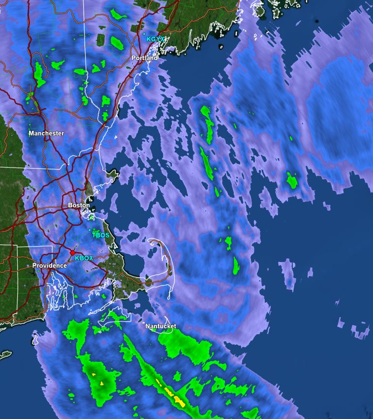
Tropicast: Visible satellite
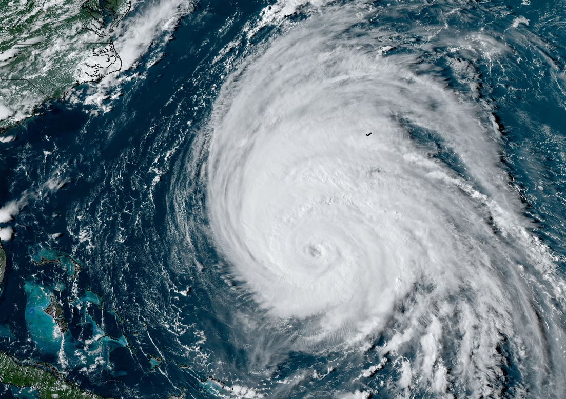
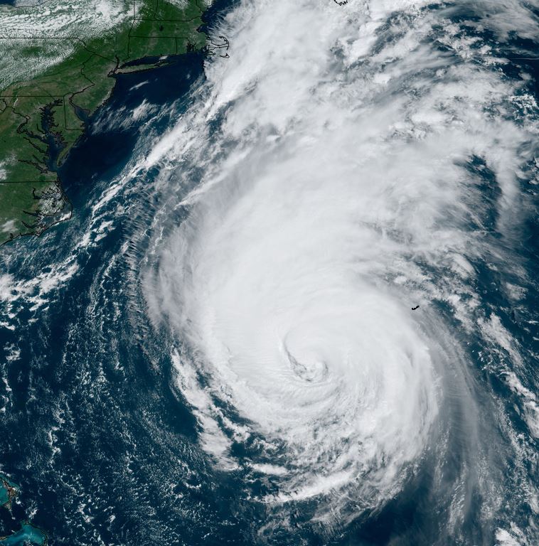
Tropical Weather Forecast:
Lee is forecast to move north of the Leewards and stay east of the Bahamas. In the longer range it is forecast between Bermuda the the US east coast then near Nova Scotia in about 10 days. Keep in mind that the track will change and long range forecasts are for general guidance.