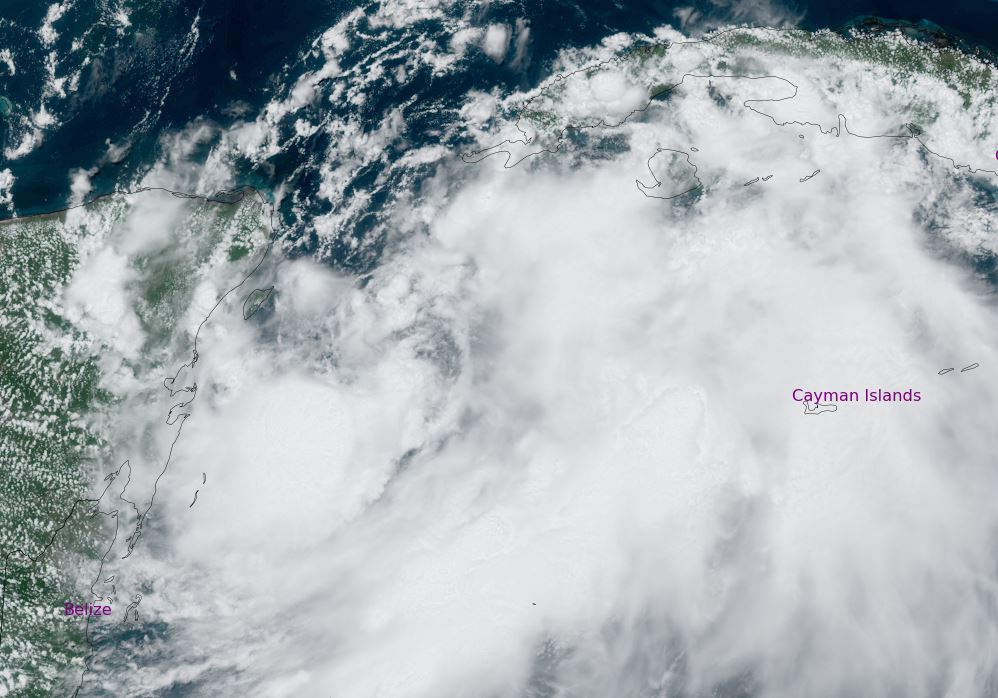
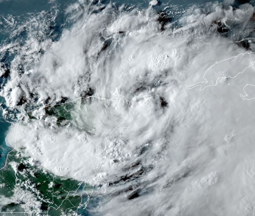
TD 10 forms
A large area of convection extends from the NW Caribbean to across the Yucatan Peninsula. A weak low pressure system is now apparent over the Yucatan channel.
The Weather Situation
SUMMARY OF 700 PM CDT...0000 UTC...INFORMATION
----------------------------------------------
LOCATION...21.2N 86.2W
ABOUT 45 MI...70 KM ENE OF COZUMEL MEXICO
MAXIMUM SUSTAINED WINDS...30 MPH...45 KM/H
PRESENT MOVEMENT...NW OR 315 DEGREES AT 1 MPH...2 KM/H
MINIMUM CENTRAL PRESSURE...1005 MB...29.68 INCHES
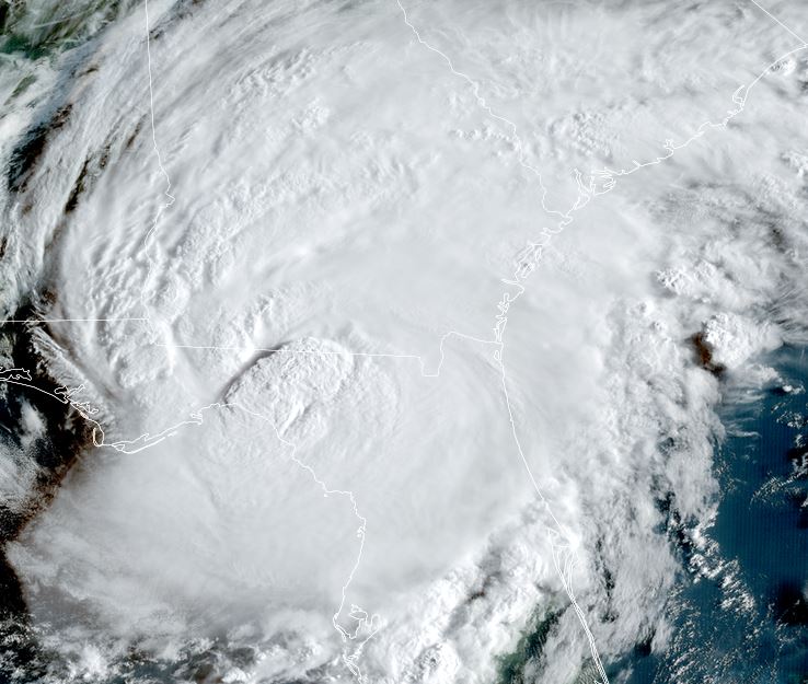
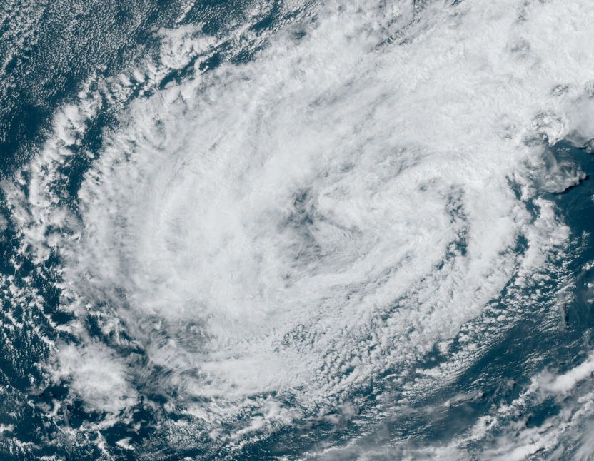
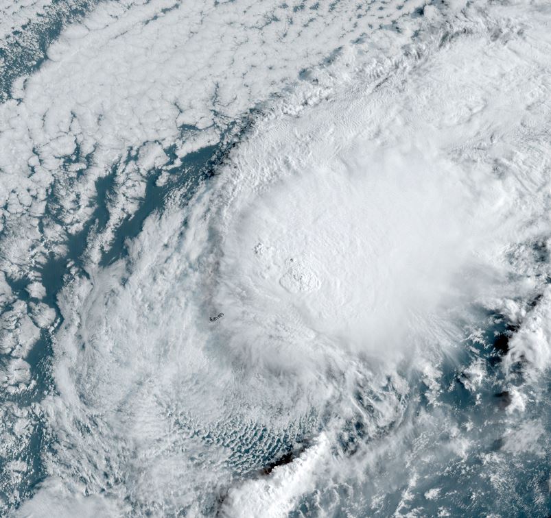
Tropicast: Visible satellite
Tropical Weather Forecast:
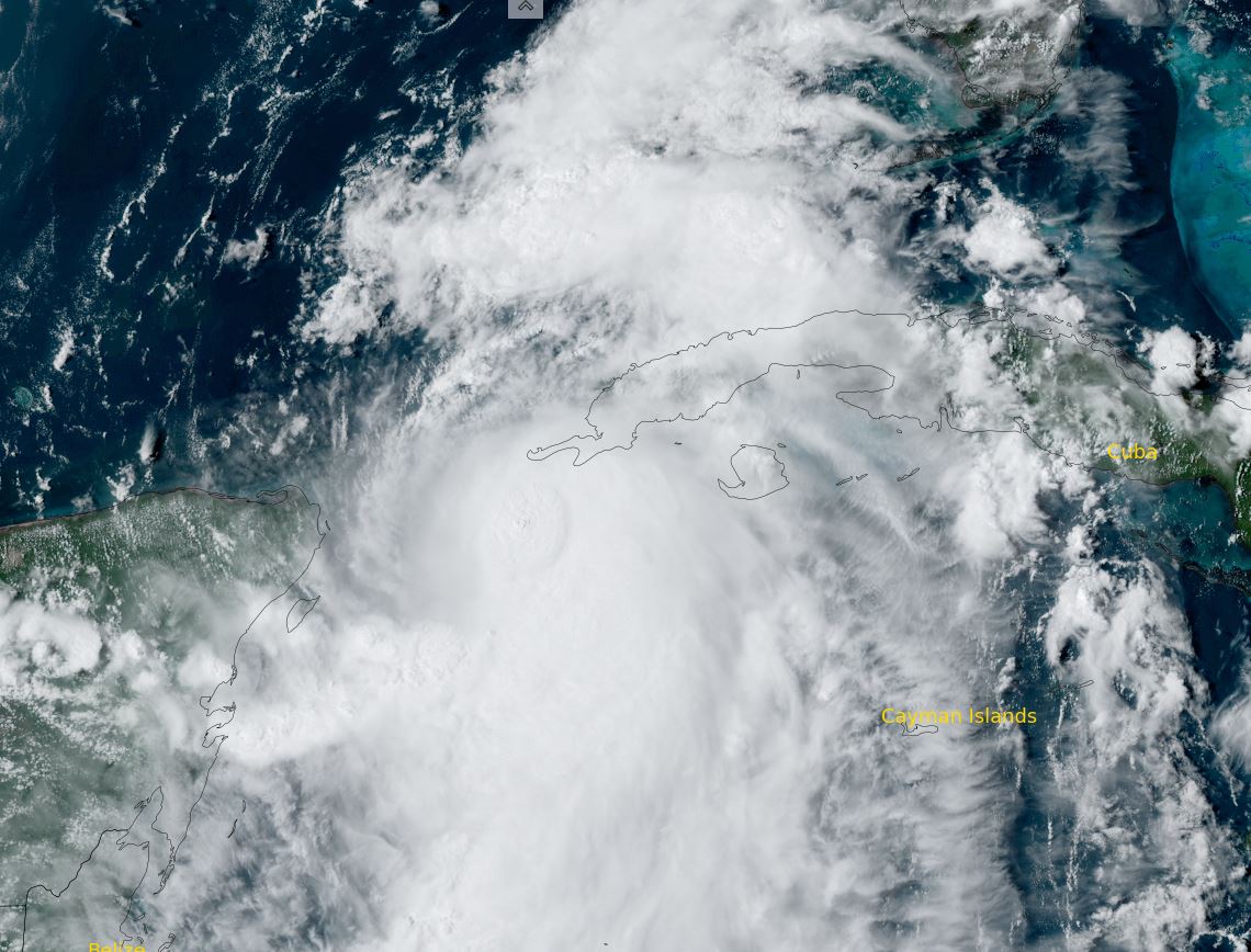
TD ten is forecast to meander for a day or two near the NE Yucatan peninsula then move NNE across the Gulf of Mexico. A landfall as a minimal hurricane is possible near the Big Bend of Florida around Tuesday night to early Wednesday. Keep in mind that this is a preliminary forecast and is subject to change.