Thursday Morning Update
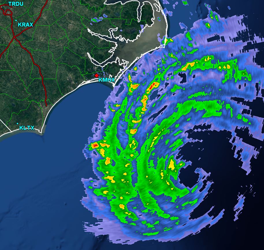
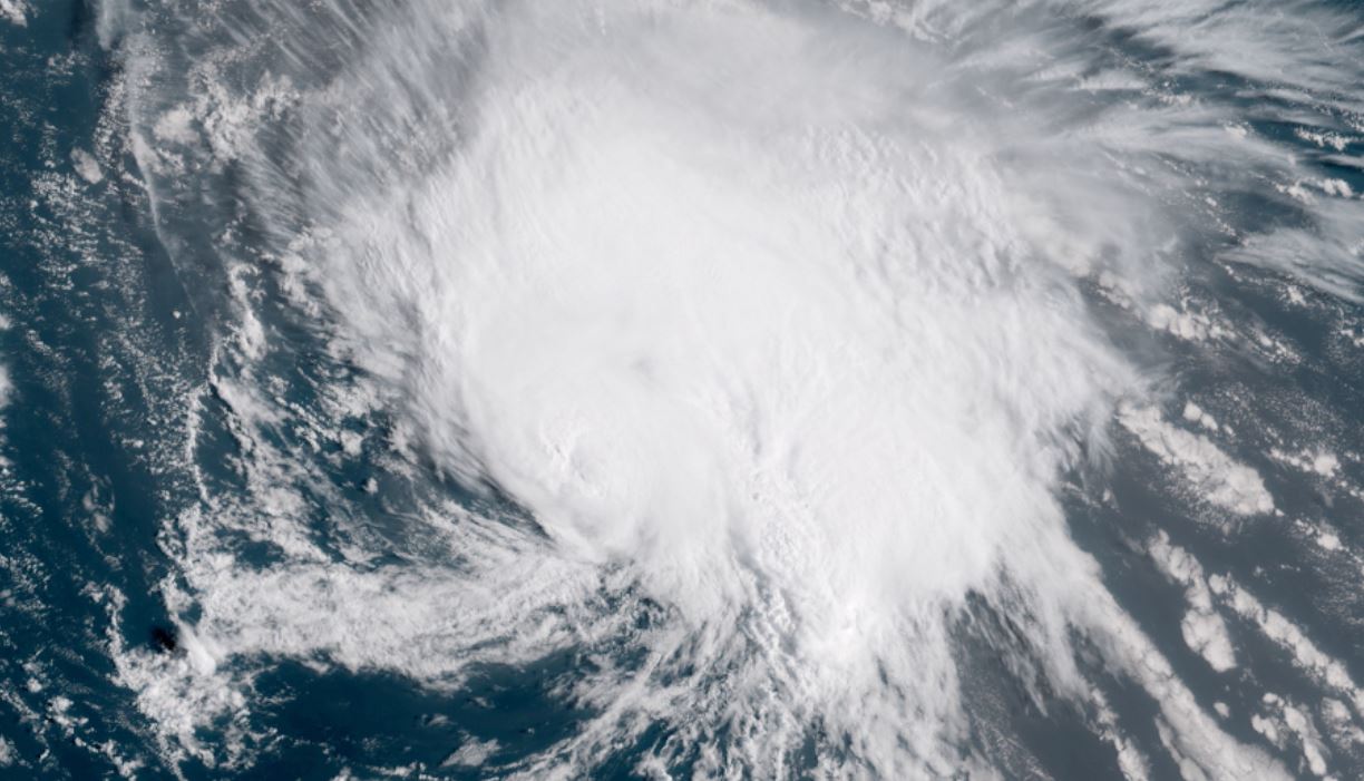
Raindbands just offshore
The Weather Situation
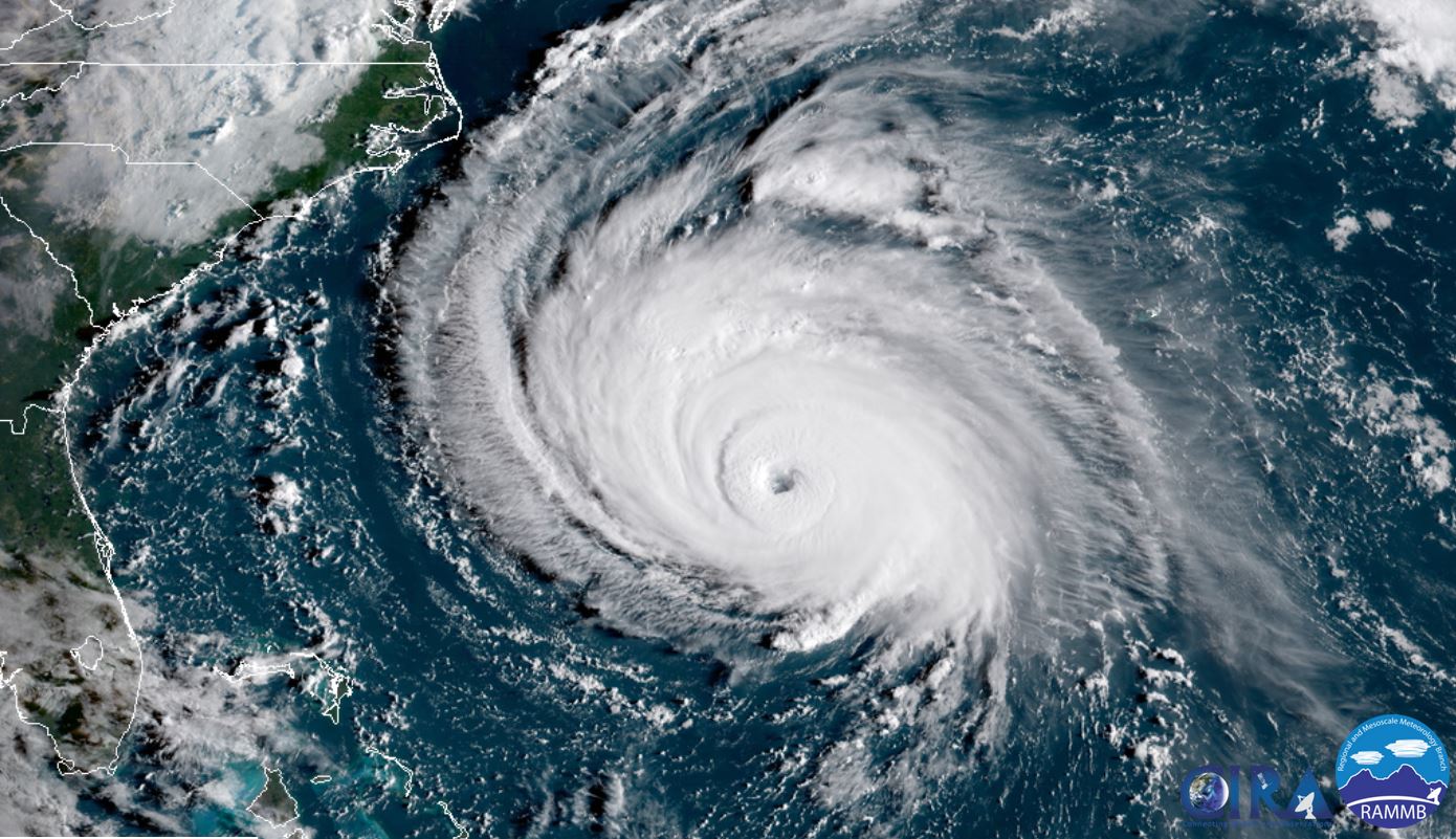
The latest radar shows that rain bands are just east of the Outer Banks of North Carolina. Rain will be moving inland shortly. Buoy data indicates that winds are gusting near tropical storm force close to the coast and seas are approaching 20 feet offshore.
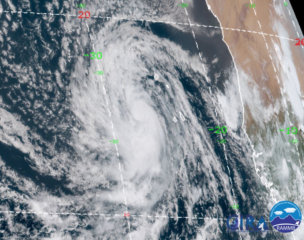
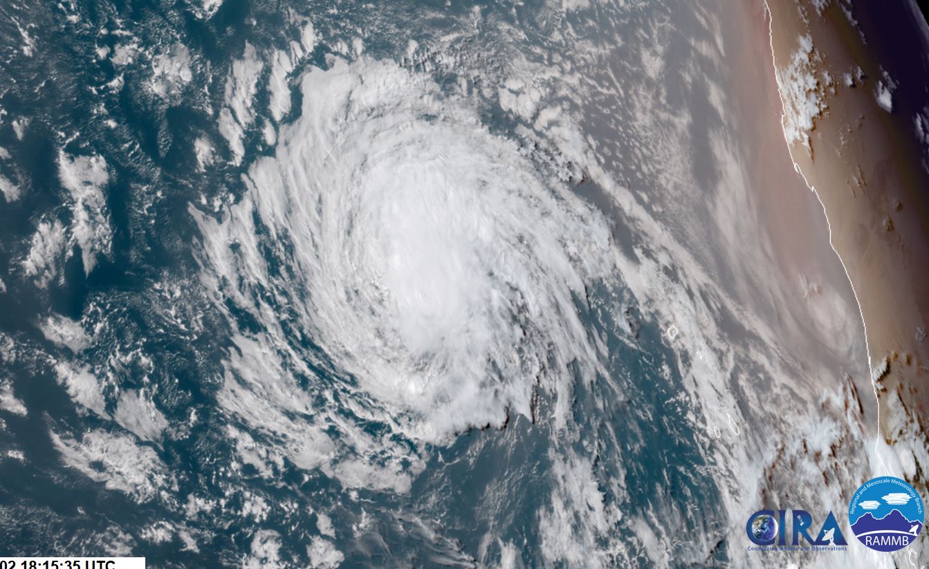
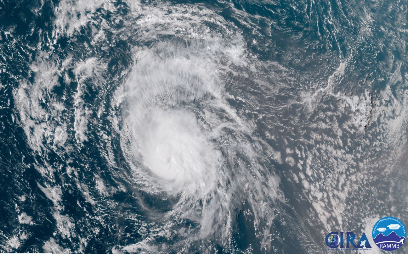
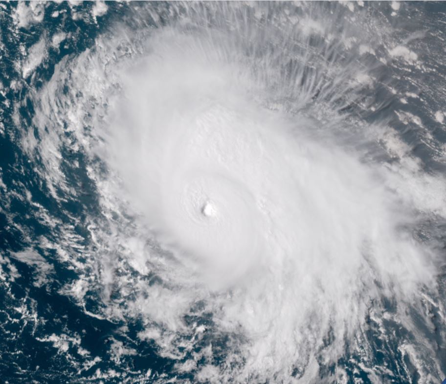
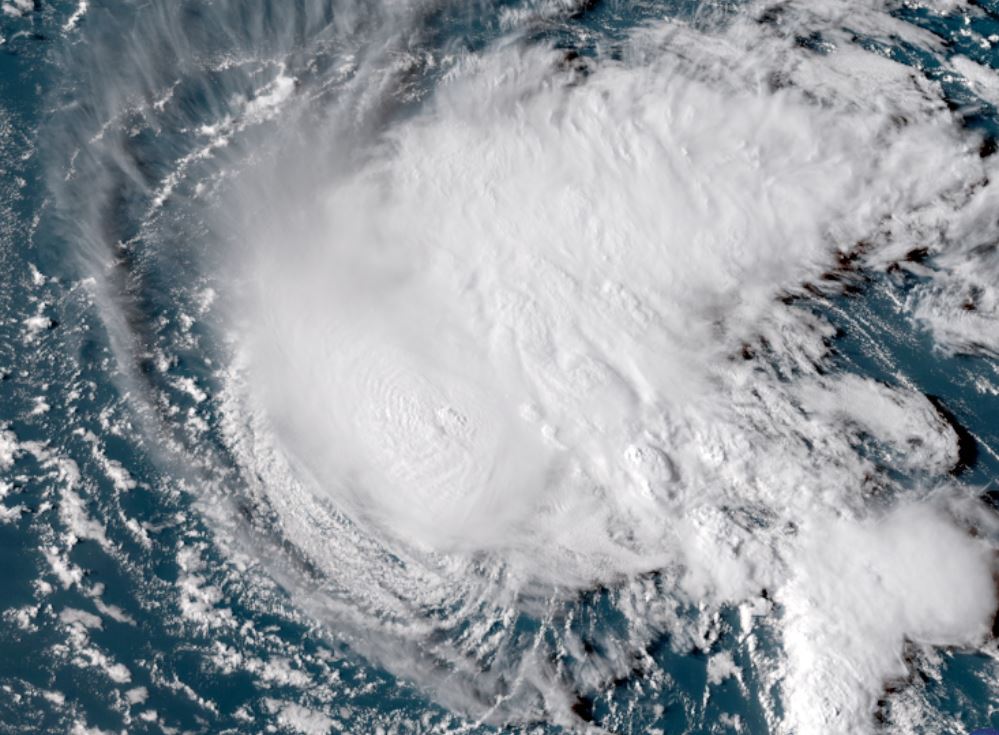
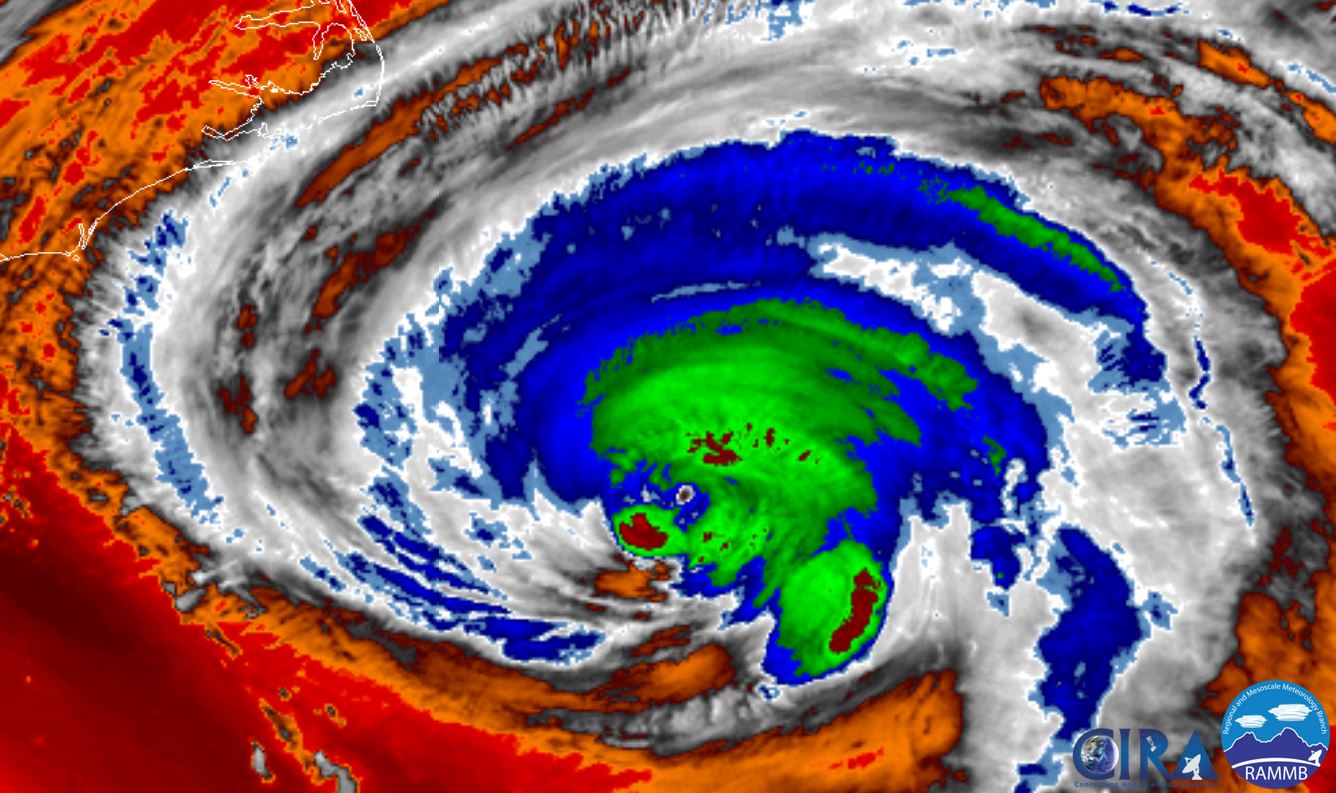
Satellite imagery indicates that currently the strongest winds are on the south side of the circulation with some dry air and / or shear disturbing the eye wall, especially on the east side of the circulation. This has weakened the circulation, but shear and warm water temps may allow for some strengthening again just before landfall.

Severe flooding / wind damage / storm surge could prolong problems for an extended period of time. Expect widespread power outages.
Current Tropical Weather
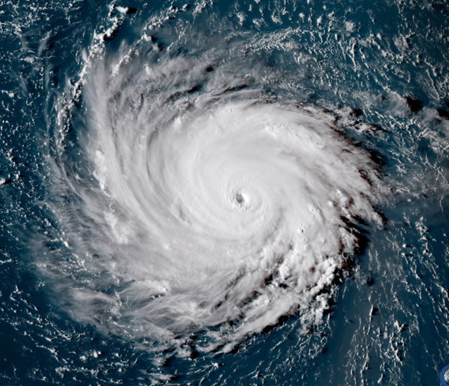
As of 8:00 AM AST Florence was centered at 33.1 N / 75.1 W or 170 miles ESE of Wilmington, North Carolina. It was moving NW at 12 mph. Top sustained winds are estimated at 110 mph. Pressure was estimated at 956 MB.
Tropical Weather Forecast:
Forecast models bring Florence near the coast north of Wilmington, NC late today / into the early Friday morning hours. It will then drift south toward the upper South Carolina coast Saturday.
The heaviest rainfall will be over the eastern 1/2 of North Carolina & NE South Carolina Friday. Rainfall remains in place over nearly the whole state of North Carolina Saturday and the northern half of South Carolina also. Sunday the heaviest rainfall will shift into western North Carolina and SW Virginia. The rest of North Carolina and northern half of South Carolina will still see some rain, occasionally heavy.
Remember a hurricane is not a point and effects will stretch well beyond these locations.
Storm surge, wind damage, extreme flooding rainfall are all serious concerns at this time.
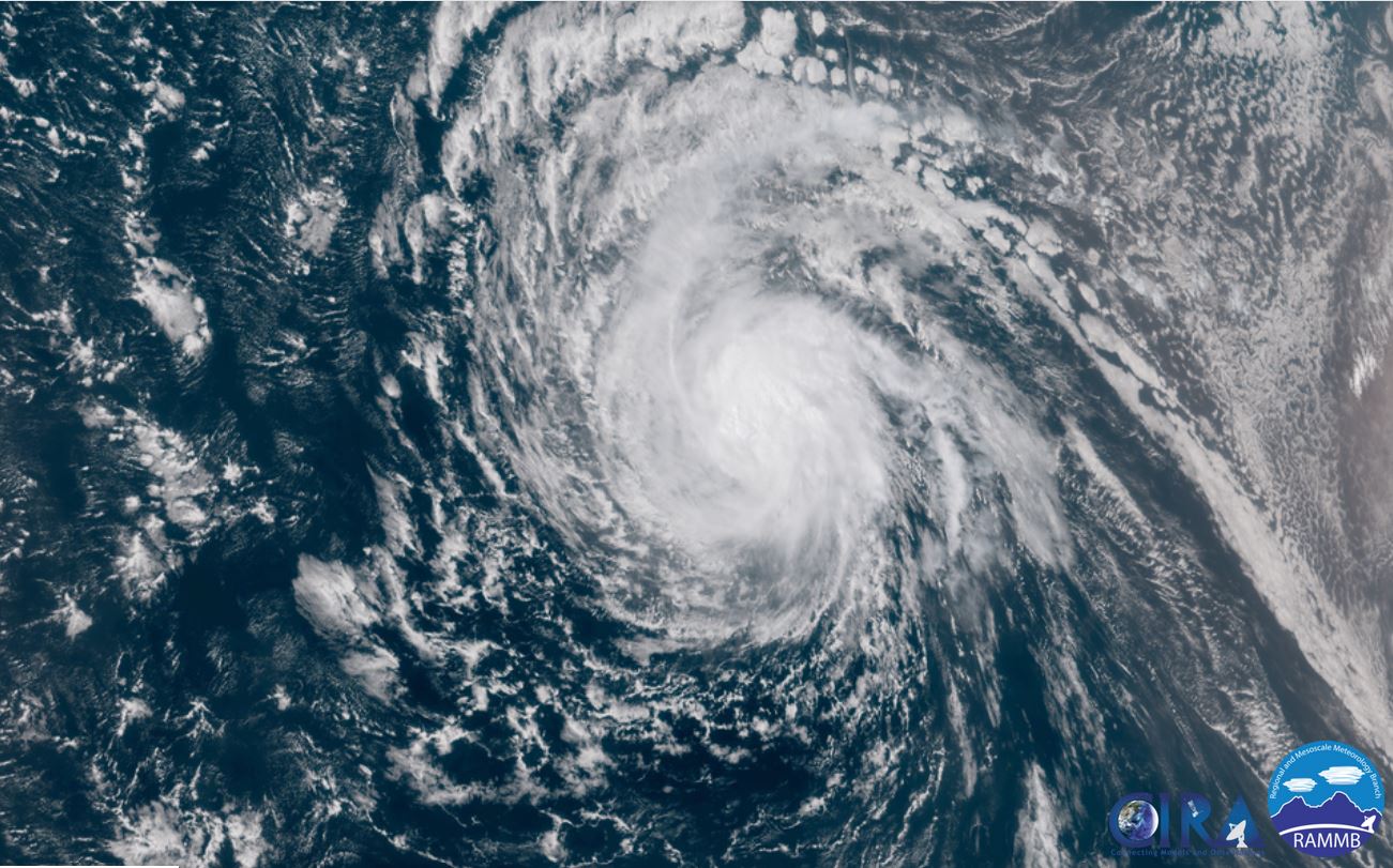
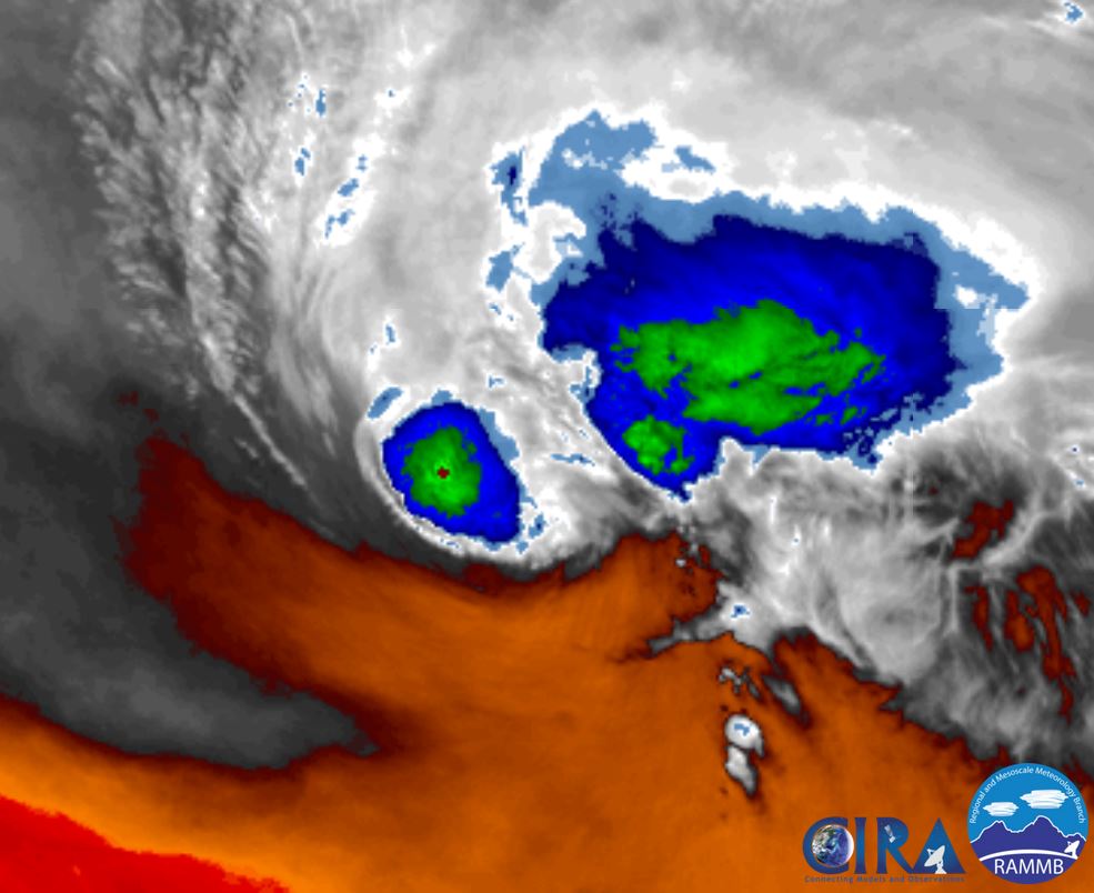
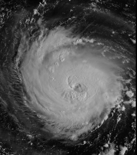
Tropicast: IR Satellite
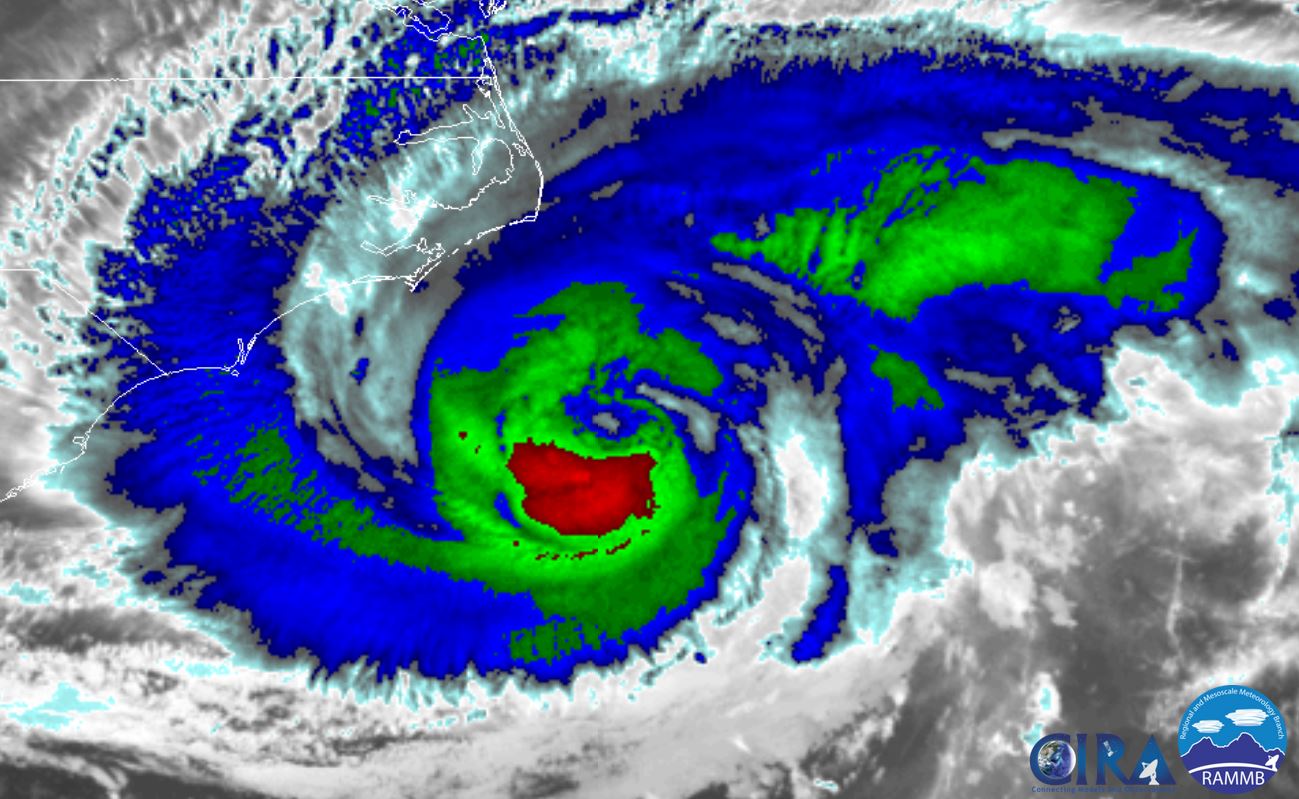 Tropicast: Radar 8 am edt