Julia meandering east of South Carolina
The Weather Situation
Julia was the first tropical cyclone in recent memory to be classified as a tropical storm over land. Advisories were initiated by the Hurricane Center on Tuesday night at 11 pm EDT with the low center west of St. Augustine, FL. Julia brought heavy rainfall up the eastern Florida coast Tuesday night along with some thunderstorm wind gusts to 60 mph. Heavy rainfall moved over the Georgia and South Carolina coast the following day as Julia moved east of South Carolina. Julia continues to fight strong westerly wind shear.
Current Tropical Weather
As of 11 AM EDT Tropical Storm Julia was centered at 31.1N / 75.6 W or 240 miles SE of Cape Fear, North Carolina. It was was moving ESE at 7 mph. Top sustained winds are estimated at 40 mph. Pressure was estimated at 1008 mb.
Tropical Weather Forecast:
Julia will meander east of the South Carolina coast for the next 2-4 days and gradually weaken and dissipate. There will be little additional effects to land.
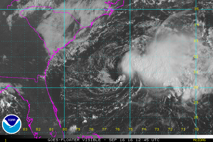
Tropicast: Visible Satellite Friday Morning
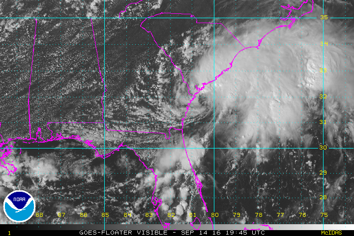
Tropicast: Visible Satellite Thursday Morning
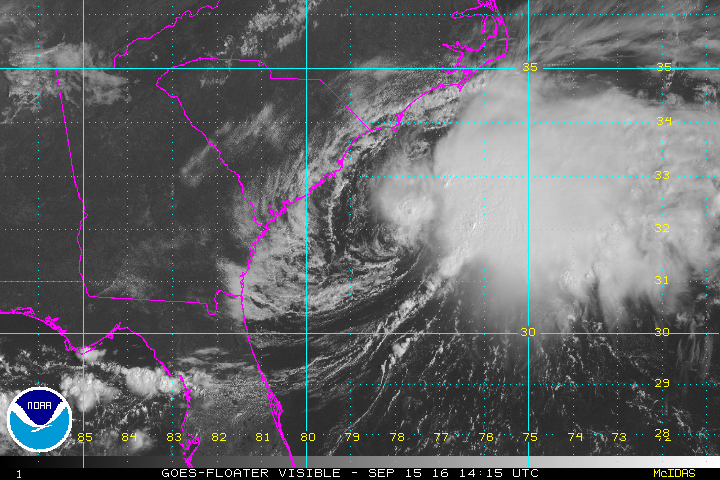
Tropicast: Visible Satellite Wednesday Afternoon
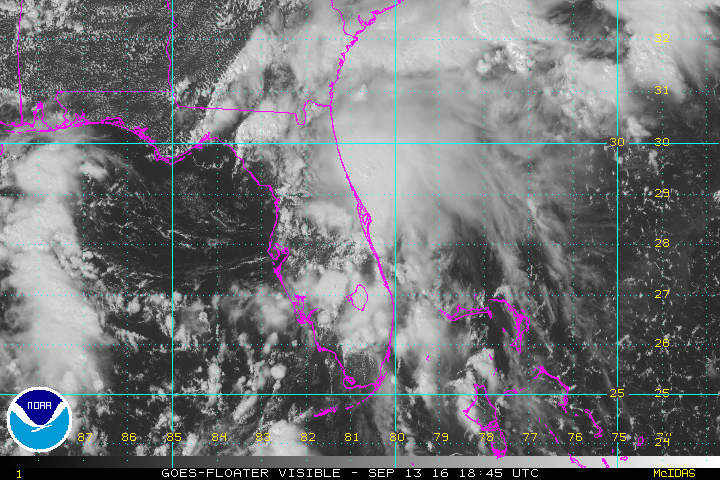
Tropicast: Visible Satellite Tuesday Afternoon