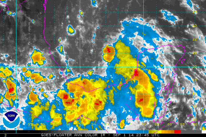
TD 5 in Bay of Campeche
Recon from this afternoon found a closed center of circulation, so TD 5 was classified. There will be only an additional 24 hours for it to strengthen before landfall. Because of this, significant strengthening is not expected - more than minimal tropical storm strength. The main effects from this system will be from heavy rainfall and the threat of flash flooding.
As of 8 pm EDT / 7 PM CDT Tropical depression 5 was centered at 20.5 N / 93.7 W or about 240 miles east of Tuxpan, Mexico. It was moving northwest at about 12 mph. Top sustained winds are estimated at 30 mph. Pressure was estimated at 1008 mb.
Forecast:
Tropical depression 5 is in the Bay of Campeche and will make landfall by Tuesday evening. It is possible that it will make tropical storm strength before landfall between Tampico and Tuxpan.
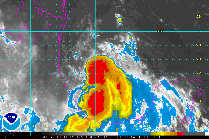
Tropicast: Atlantic IR floater satellite