Manuel producing heavy rainfall
Manuel is a minimal tropical storm south of the Mexican coast. It is likely to strengthen slightly before landfall. The main threat from Manuel will be from flooding rainfall. Rainfall amounts of 10-15 inches are possible with heavier totals in the mountains.
As of 2 am pdt (5 am edt) Manuel was centered near 15.3 N / 102.4 W or about 285 miles SSE of Manzanillo, Mexico. Movement is stationary. Top sustained winds are estimated at 45 mph (NHC 45 mph / 2 am pdt or 5 am edt advisory). Pressure is estimated at 996 mb.
Forecast:
Manuel will slowly drift toward the coast and make landfall by the next 24 hours south of Manzanillo
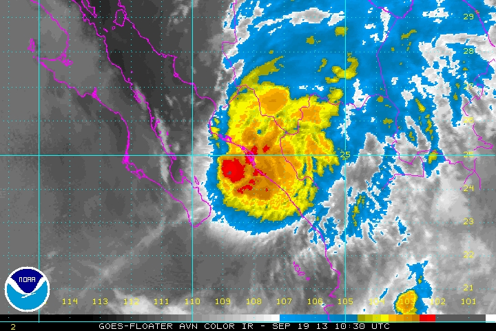
Tropicast: Pacific IR Satellite