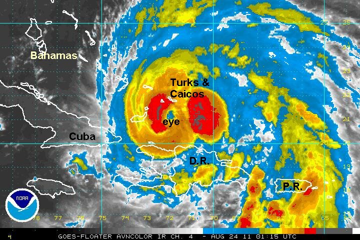
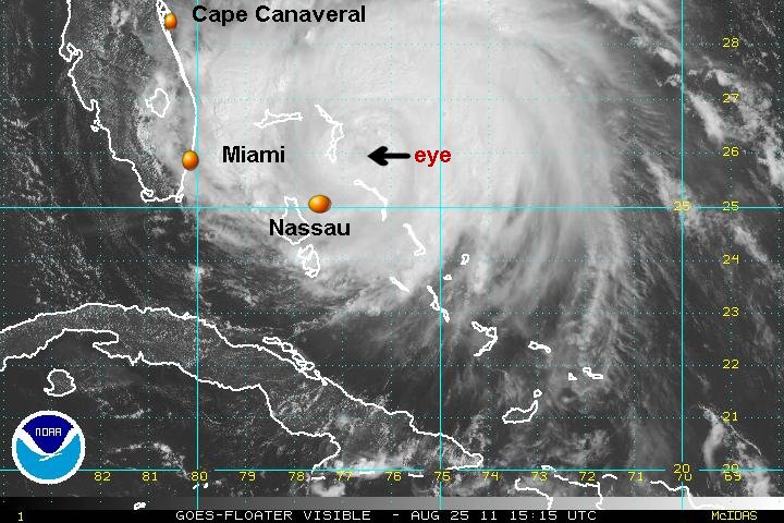
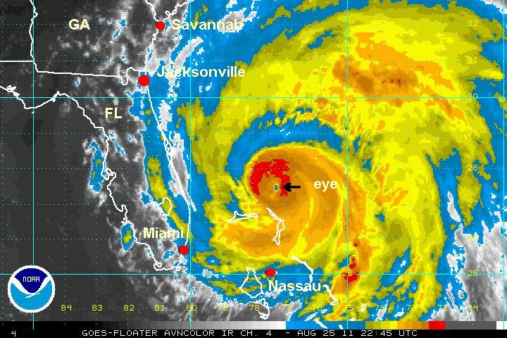
Irene's eye forming
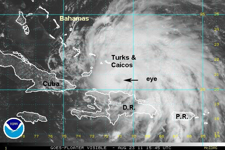
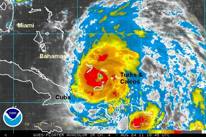
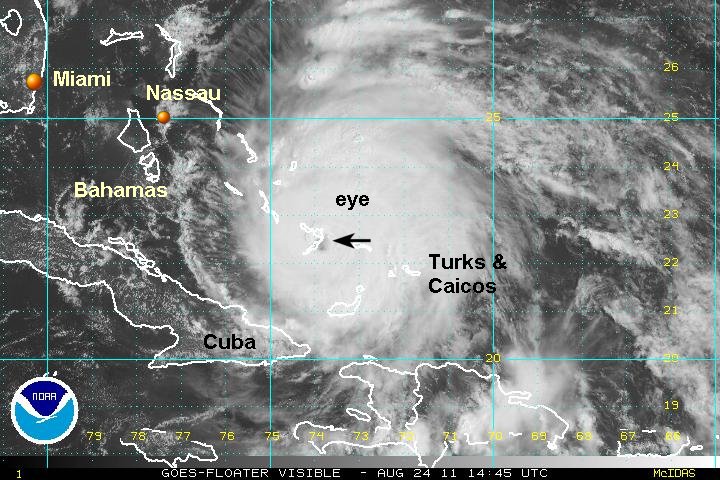
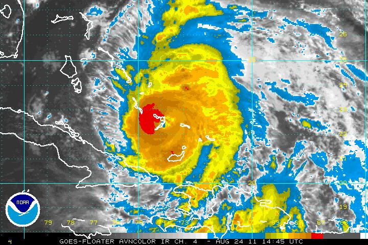
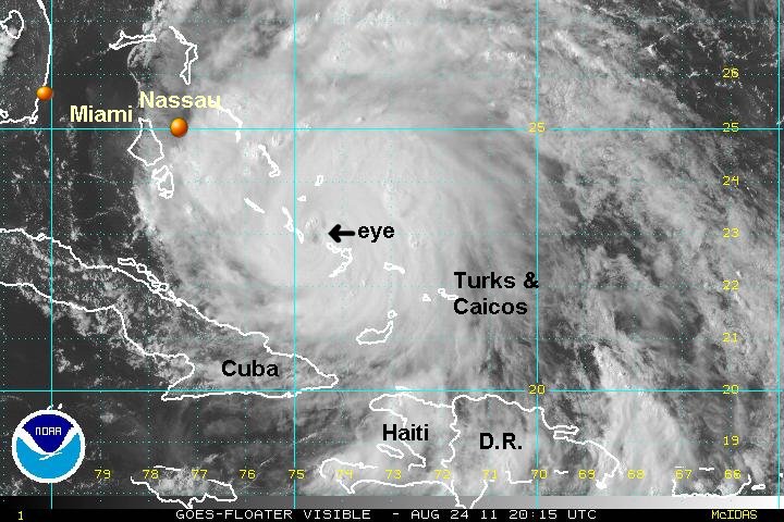
The strengthening phase is about to begin. Visible satellite imagery shows an eye now forming. It is also pulling away from Hispaniola so that the low level inflow will no longer be blocked. Irene continues to the wnw and and will be passing just south of Grand Turk and just north of Great Inagua in the southern Bahamas. The forecast track has shifted slightly east which could have major implications to the Northeast U.S. The forecast is detailed below.
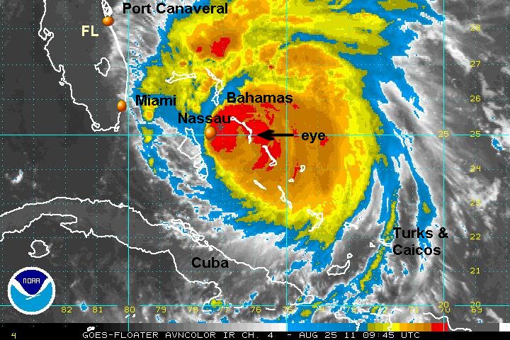
As of 11 am edt / ast Irene was centered near 20.5 N / 71.0 W or about 70 miles south of Grand Turk. It is moving wnw at 12 mph. Top sustained winds are estimated at 95 mph (NHC 100 mph last advisory). Pressure is estimated at 980 mb.
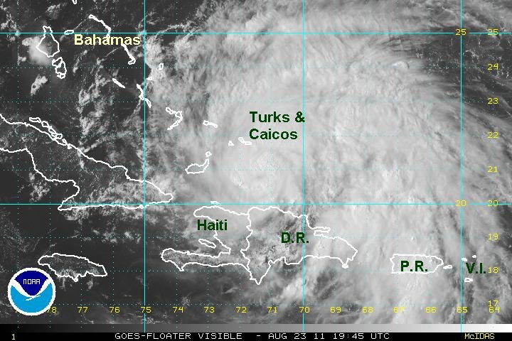
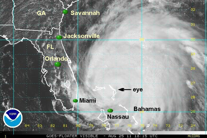
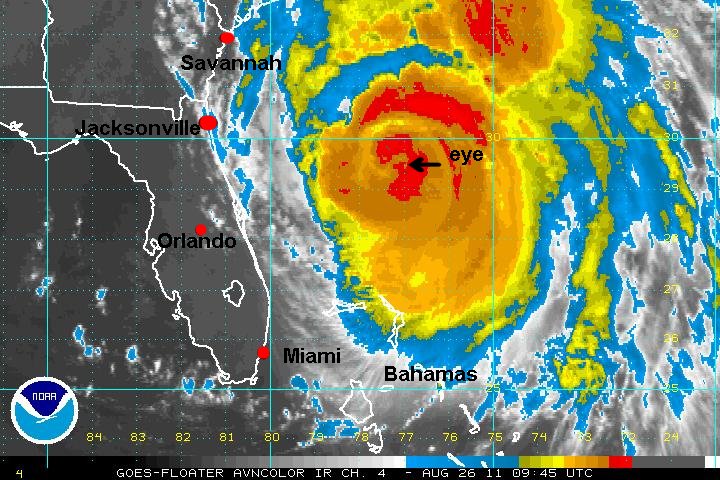
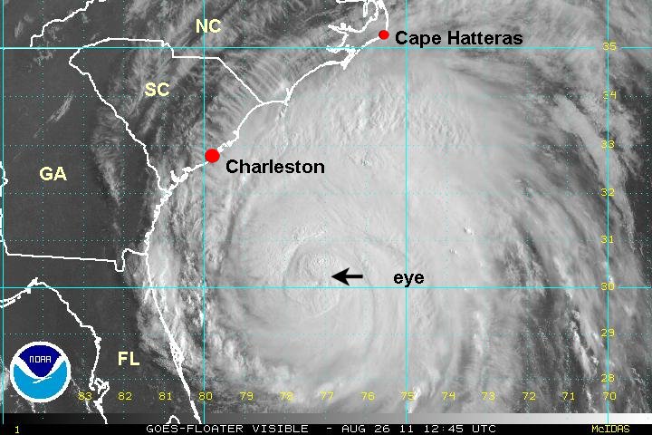
Irene is headed generally west northwest into the southern Bahamas and Turks and Caicos. It is projected into the central Bahamas tomorrow where it is expected to make an abrupt north turn late in the day. Thursday the forecasts take it into the northern Bahamas. Friday it is projected north of the Bahamas heading toward the North Carolina coast. Irene is forecast near the eastern coast of North Carolina Saturday and will either move inland at this location or hug the coast northward. Models recently have shifted east by about 50 miles. This would allow Irene to retain strength as it moves along the coast. Irene is forecast off of the New Jersey coast then inland in southern New England Sunday.
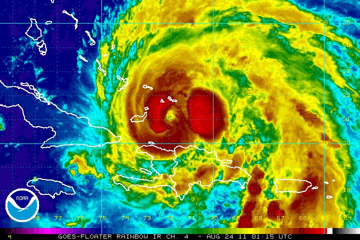
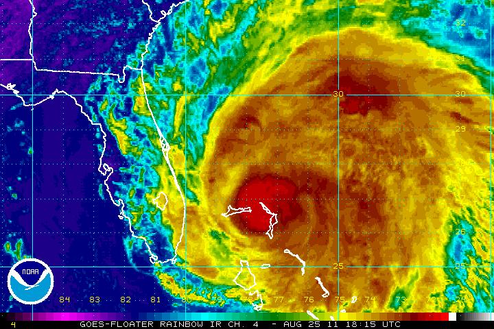
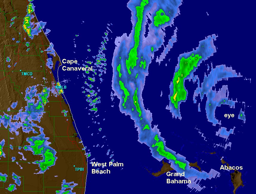
Tropicast: IR Satellite