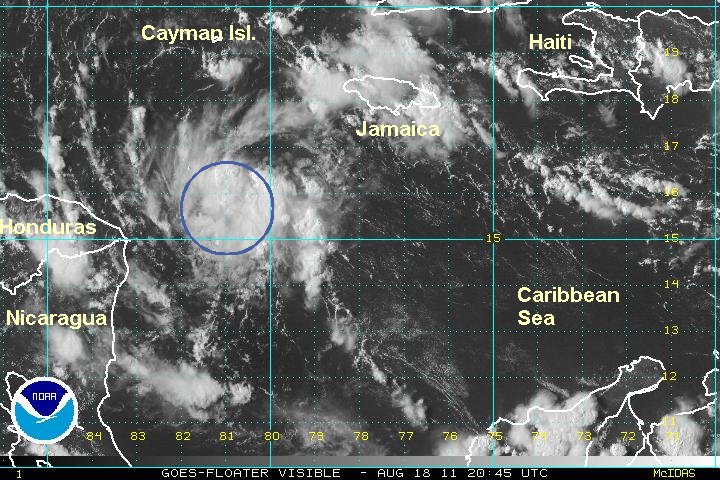
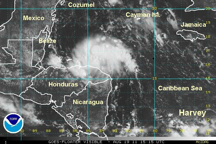
Tropical disturbance slightly more organzied
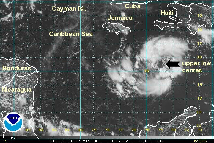
A compact area of showers and storms continues west centered southeast of Jamaica. At this time it appears that only a mid level circuatlion is present. A "false eye" is present on the satellite image below. I will be watching for any surface pressure drop as a sign of a low level center forming.
As of 12 pm edt / ast the tropical disturbance was centered near 15.5 N / 74.7 W or roughly 225 miles se of kingston, Jamaica. It is moving west at about 10-15 mph. Top sustained winds estimated at 20-25 mph. Pressure estimated at 1012 mb.
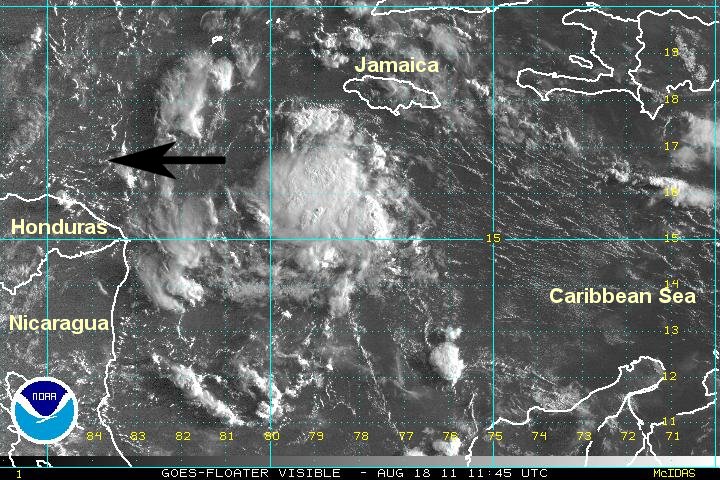
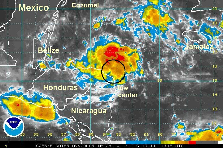
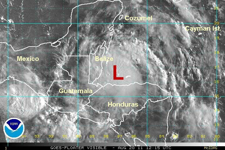
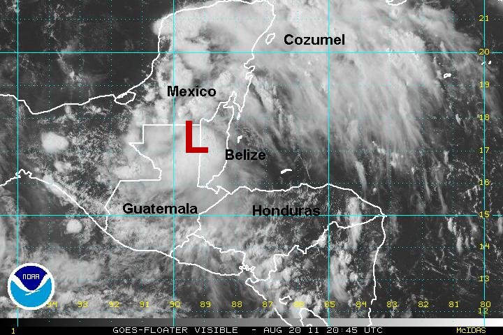
Forecasts take this low toward Nicaragua and Honduras over the next few days. There is potential for some strengthening before reaching land. Regardless if the disturbance becomes classified, heavy showers and storms will affect northern Nicaragua, Honduras and Belize over the next few days.
Tropicast: Visible Floater Satellite