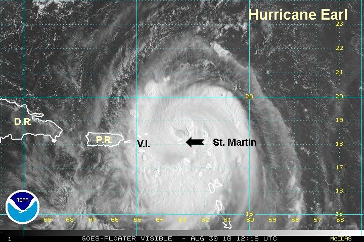
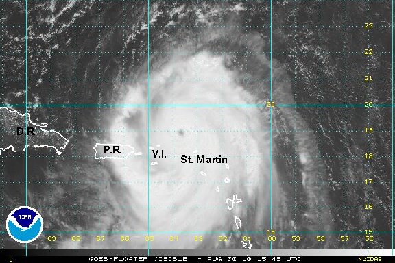
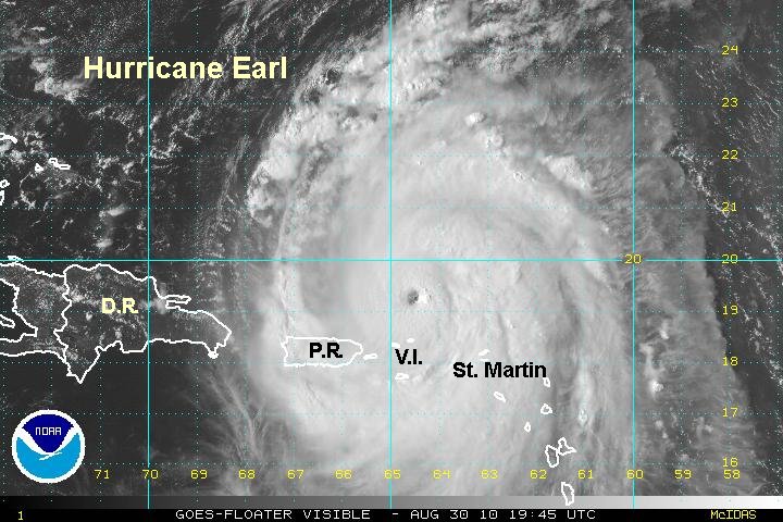
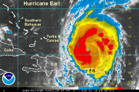
Earl just northwest of Anquilla / St. Martin, strengthening
Earl is becoming stronger as it passes by the Leewards. This morning St. Martin reported a wind gust to 61 mph at 7 am....then did not send any report after this. There is a good chance that hurricane force winds will be experienced in the northern virgin islands shortly. Anegada, Virgin Gorda, and Tortola have the best chance of seeing the strongest winds being the farthest to the north.
Several inches of rain with locally 5-10" are possible in the Leewards, the Virgin Islands and Puerto Rico as Earl passes.
As of 10 am edt / ast hurricane Earl was centered near 18.5 N / 63.4 W or about 25 miles northwest of Anquilla / 80 miles east of Tortola. Top sustained winds are estimated at 110 mph (110 mph nhc at 8 am advisory). Movement is west northwest at 14 mph. Pressure 960 mb from recon at 10 am.
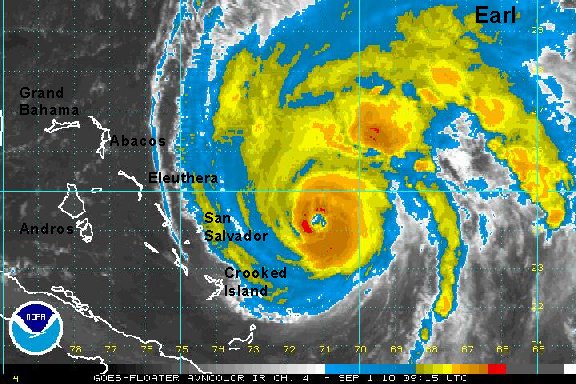
Forecast models have shifted west some. They are turning Earl east of the southern Bahamas by roughly 250 miles. It will be closest to the Turks and Caicos / southern Bahamas on Tuesday afternoon through Wedneday morning. Models have shifted west and have the hurricane near to 100 miles east of Cape Hatteras Thursday and to 50-100 miles east of Long Island Friday to near-100 miles east of Cape Cod late Friday.
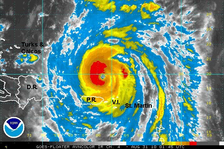
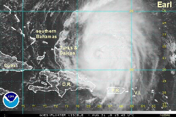
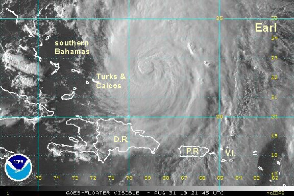
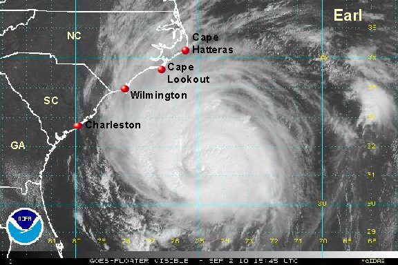
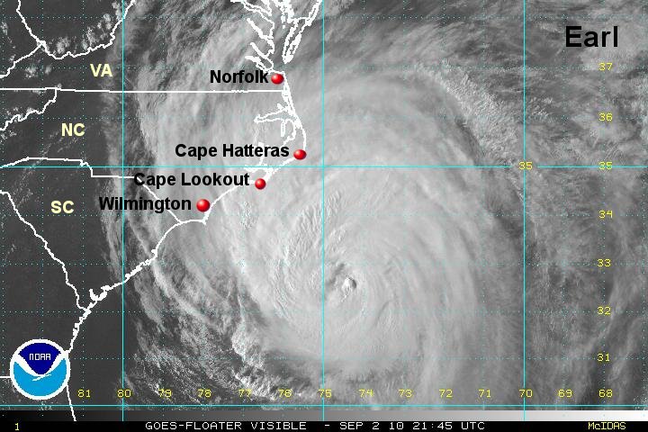
Tropicast: Visible Floater Satellite