Friday Evening Update
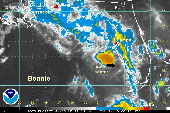
Bonnie into the Gulf of Mexico
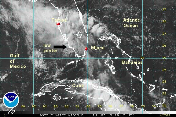
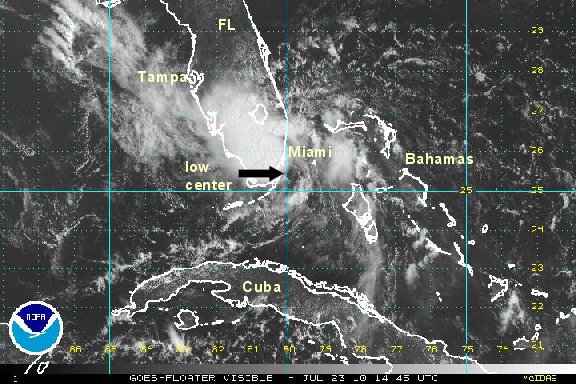
Bonnie has finally been downgraded offically by NHC. In actuality, it has not been a tropical storm since the western Bahamas. The center of tropical depression Bonnie has moved into the Gulf of Mexico near Naples, Florida after crossing the southern Everglades today.
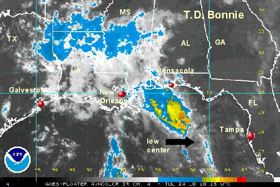
Heavy rain with Bonnie is in the eastern Gulf of Mexico displaced well northwest of the center of circulation.
At 5 pm edt tropical depression Bonnie was centered near 26.2 N / 81.9 W or 35 miles south of Ft. Myers, Florida / near Naples, Florida. Movement is wnw at 18 mph. Top sustained winds are 30 mph (35 mph NHC). Pressure 1009 mb.
It is possible that Bonnie will regain strength as a minimal tropical storm before landfall on the northcentral Gulf coast Saturday night. The models do not restrengthen Bonnie to a tropical storm before landfall. They have had a good track record recently and with the shear their is no reason to go against this. The heaviest rain will be well ahead of a landfall.

All interests on the northern Gulf coast should monitor Bonnie. Do not panic if you live along the northern Gulf coast. Many of the forecast models do not strengthen Bonnie significantly as it approaches the northern Gulf of Mexico coast by Sunday morning. Stay vigilant.
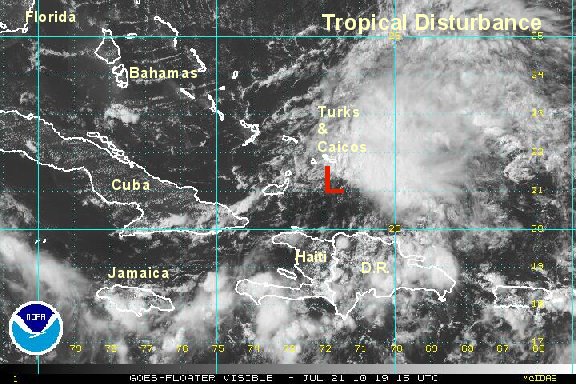
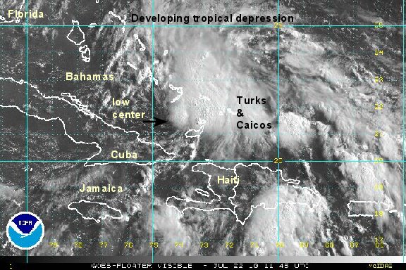
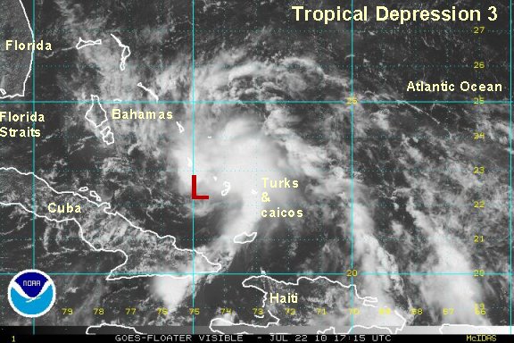
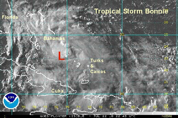
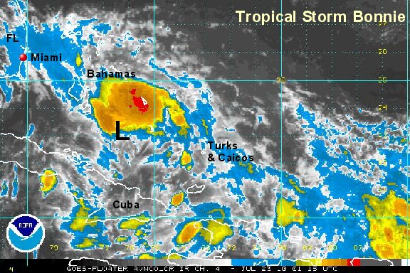
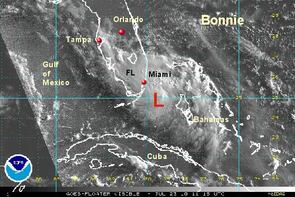
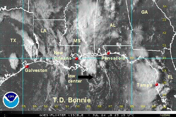
Tropicast: Visible Floater Satellite