Friday Morning Update
Darby strengthens more overnight
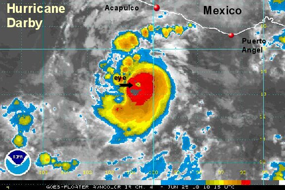
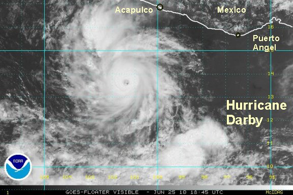
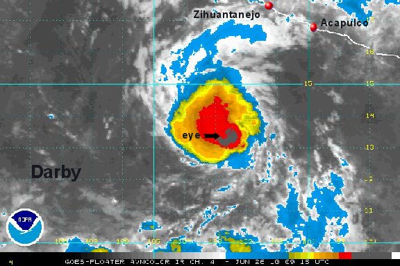
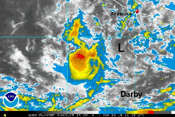
Darby continued to strengthen overnight with its CDO (central dense overcast) expanding some. An eye now has been visible for several hours. A new satellite estimate recently came in with 85 knots. We're going to go higher than that with the recent strenghtening tend and agree with NHC for a wind estimate of 105 mph. Keep in mind that the area that these strongest winds cover is extremely small, due to the size of Darby's eyewall.
The forecast track of Darby will be dependent on the development of a low pressure system in the western Caribbean Sea. The model consensus is to take Darby west northwest for another day or two, slow it down, and turn it east toward Mexico as it weakens.

Interests on the west coast should follow Darby closely.
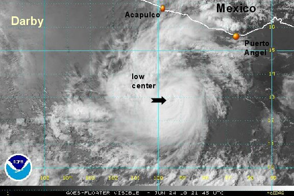
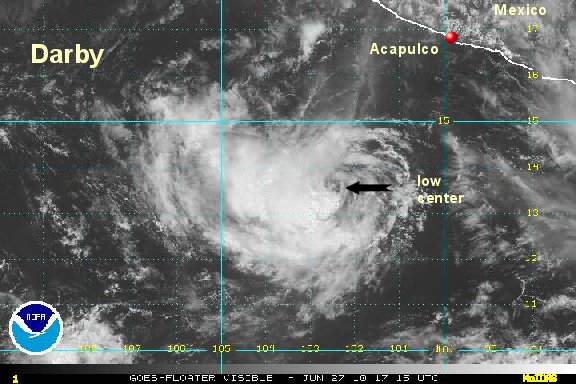
As of 7:00 am edt / 4:00 am pdt hurricane Darby was centered at 13.5°N / 100.8°W or 235 miles south southwest of Acapulco, Mexico. Top sustained winds are estimated at 105 mph (NHC 105 mph). Movement was west northwest at 13 mph.
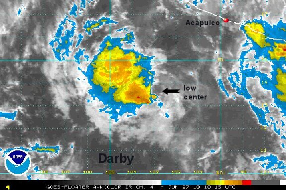
Tropicast: Pacific Floater I.R. Satellite