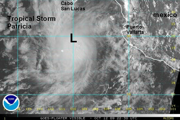
Monday Evening Update
Tropical storm Patricia continues to strengthen today.
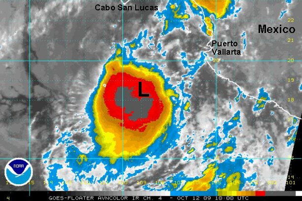
Well, it looks like everyone is a little befuddled by the persererance of Patricia. It has continued to strengthen today with a well formed CDO or central dense overcast. Wind shear has continued to stay weak, allowing for the strengthening. Rainfall of a few inches on the southern Baja is possible as Patricia moves toward the area over the next 24 hours. Winds may pick up to minimal tropical storm strength, with the most damaging conditions remaining offshore.
As mentioned by NHC, even with microwave and visible satellite imagery the exact center remains tough to pinpoint. We agree and find no good reason to deviate from the earlier position. The exact center is still somewhere near there.

Met nerd alert

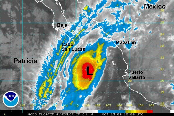
Satellite imagery today shows an impressive looking gravity wave moving from the CDO to the south and west through the strato cu field. Nice.....
As of 7:00 pm edt / 4:00 pm pdt tropical strom Patricia was centered near 19.8° N / 110.1° W or about 215 miles south of Cabo San Lucas, Mexico. Top sustained winds are estimated at 65 mph (NHC 65 mph). Tropical storm Patricia is moving northwest at about 8 mph.
Forecasts take this system generally north northwest toward Cabo San Lucas over the next few days and weaken the system. The greatest threat would be heavy rain to the southern Baja assuming that convection continues to hold on.
Interests in the southern Baja need to follow the progress of Patricia and take any necessary precautions.
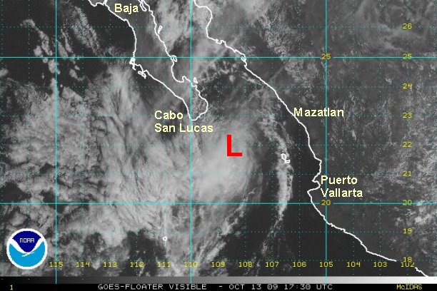
Tropicast: Pacific Floater Visible Satellite