Thursday Morning Update
Hurricane Fred weakens some overnight
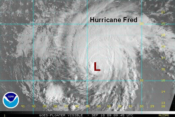
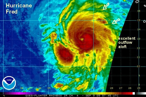
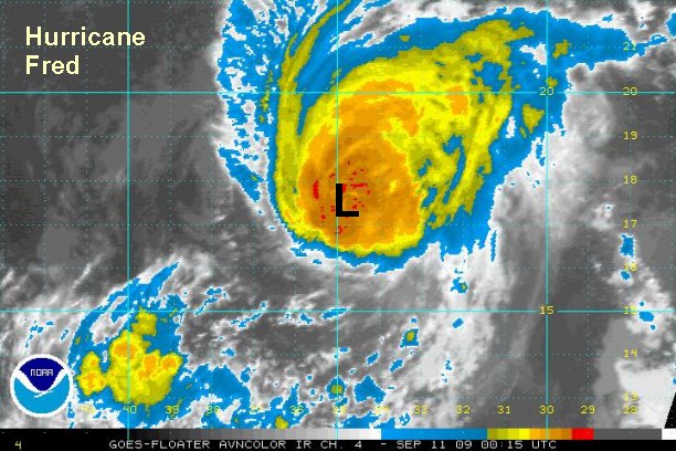
Facing southerly wind shear, hurricane Fred has weakened overnight. Deep convection near the eyewall is not that impressive either. A recent microwave satellite estimate only had the winds at 77 knots. With this being the case, our estimate is lower than the Hurricane Center's 105 mph.
From the Tropical Prediction Center record book.....
Fred is only the third major hurricane observed east of 35° W since records began.....and the strongest southeast in the Atlantic. NHC correctly states that it would have been difficult to tell if there were others before the satellite era of the 1960's.
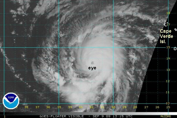
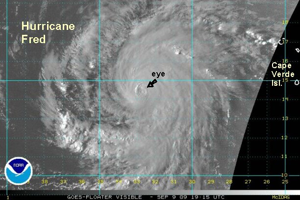
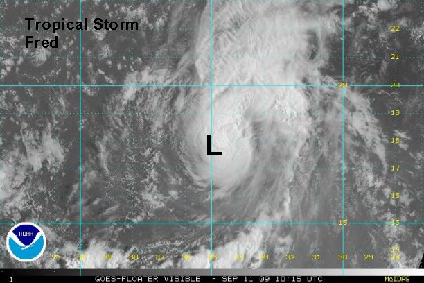
At 7 am edt / ast Hurricane Fred was centered at 16.3° N / 34.2° W or about 585 miles west of the northern Cape Verde Islands. Top sustained winds are estimated at 90 mph (NHC 105 mph). Fred is moving north northwest at about 12 mph.
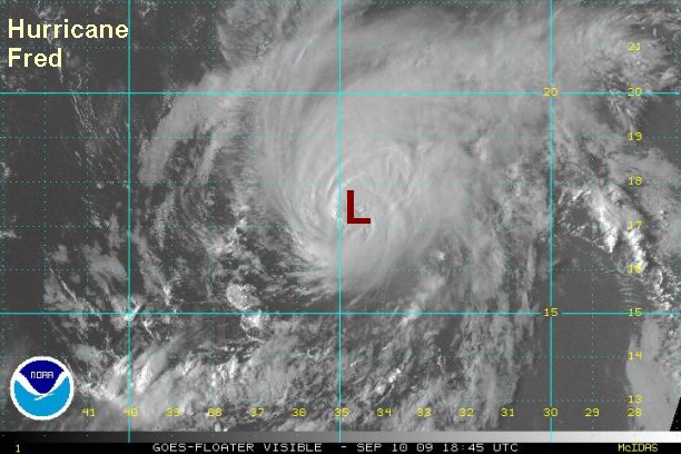
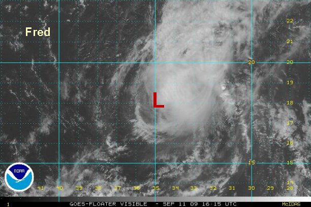
Forecasts generally snake Fred northward then northeastward as it weakens under wind shear. An eventual northwest or westerly turn is possible if the convection gets stripped and a low level circulation only remains.

If you are taking a cruise or traveling to the Caribbean, Bermuda, Mexico, or Hawaii and are concerned about the trip, post in the "eye of the storm" forum and I'll try to answer your questions.
Tropicast: Visible Floater Satellite (5:45 am edt/ast)