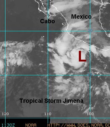
Tuesday Morning Update
Jimena remains extremely dangerous
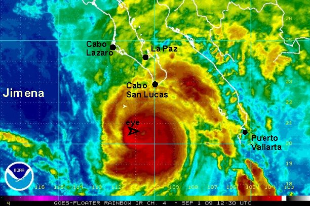
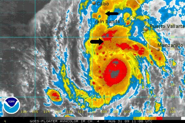
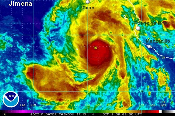
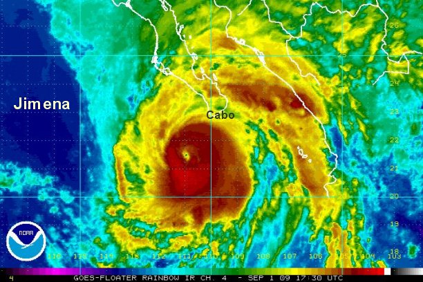
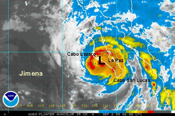
We believe that Jimena is starting to weaken some as it moves slowly over cooler water. Clouds tops over the central dense overcast are warming some, indicating this slow weakening. It still remains a very dangerous hurricane though. A recon will be investigating by late morning (pdt).
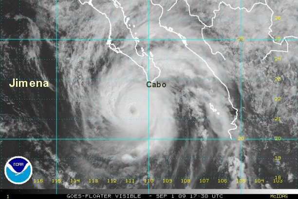
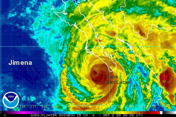
Jimena is a dangerous hurricane! The winds associated with the center of the hurricane will start increasing during the next several hours over the southern Baja. Rough swell is battering the west coast of Mexico and southern Baja with swell 12-15'. Seas up to 42' are offshore near the center of Jimena.
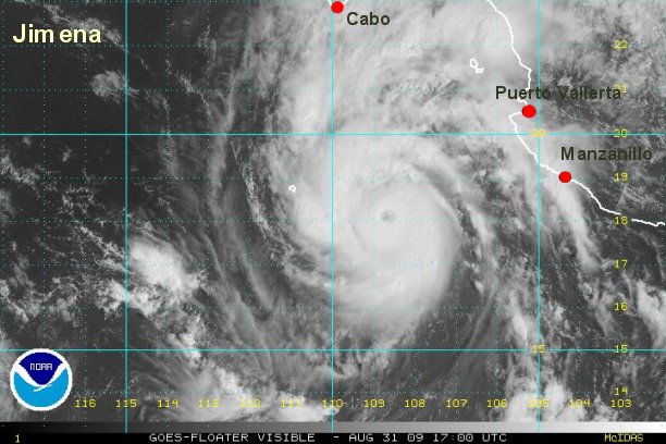
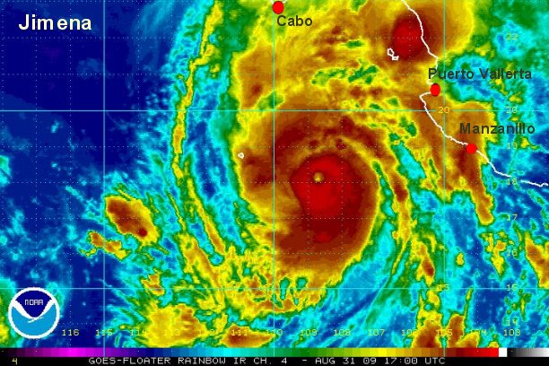
As of 8:00 am edt / 5:00 am pdt hurricane Jimena was centered near 20.6° N / 110.4° or about 155 miles south of Cabo San Lucas, Mexico / 315 miles south southeast of Cabo Lazaro, Mexico. Top sustained winds are estimated at 145 mph (NHC 155 mph earlier advisory). Jimena is moving north northwest at about 12 mph. Earlier pressure of 931 mb.

Interests on southern Baja , including Cabo San Lucas should follow the progress of Jimena and finish hurricane preparedness immediately.
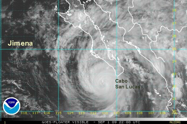
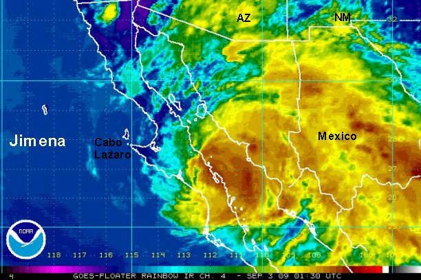
Forecasts call for Jimena to make landfall on the southwestern Baja coast tonight or early Wednesday morning. Any slight change of course to the east will cause landfall to be several hours earlier! Flooding rains, storm surge and battering waves will accompany Jimena.
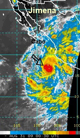
Tropicast: Pacific Floater Colorized Satellite(5:30 am pdt)