Monday Morning Update
Tropical storm Andres forms overnight
Tropical storm watch Zihuatanejo northward to Manzanillo
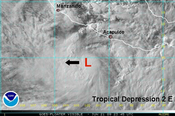
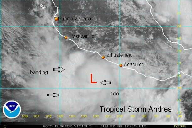
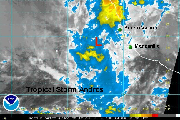
As of 7 am edt (4 am pdt) tropical storm Andres was centered near 14.5 N / 103.0 W.....based on I.R. satellite images. This is a perilous way to estimate and admittedly very tough to get a good position based on this, especially on today's imagery. We'll know more with the visible imagery in a few hours.
Top sustained winds are officially 50 mph based of Dvorak estimates and an earlier 50 kt Quickscat pass. Since the earlier advisory, cloud tops have warmed and the Quickscat has lower estimates. We'll estimate a little lower at 45 mph at this time.
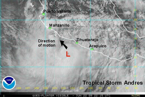
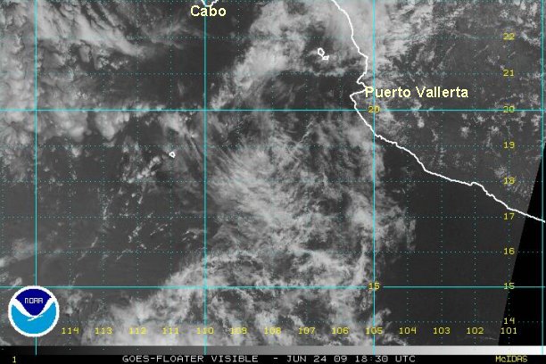
Direction of motion is officially west northwest at 3 mph, but again the estimate is based on I.R. satellite interpretation and model forecasts. This looks good, but our initial position is a little farher south.
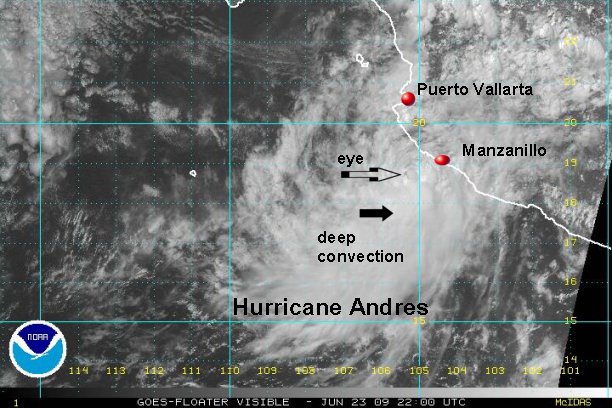
Forecast models continue to insist on a more northward track taking Andres close to the coast south of Cabo Corrientes in 1-2 days. The main threat looks to be rainfall, but there is a chance that Andres could reach hurricane strength.
Tropicast: Pacific Floater I.R. Satellite
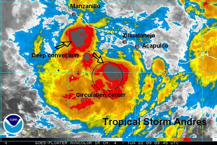
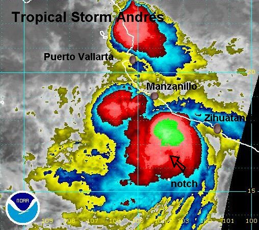
A very impressive burst of convection occured somewhere near the circulation center over the past several hours. Clouds tops are warming (a little) again. It is tough to tell if the surface low is colocated with the mid level which is near the deep convection burst. This is crucial to know, the system will develop more slowly if the low is tilted. Visible satellite should give that answer soon.