Friday Morning Update
Adrian a powerful hurricane
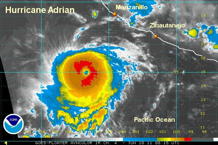
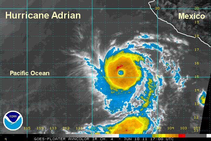
Adrian was upgraded to a cat 3 hurricane as expected. It is now a cat 4 and we are in good agreement with the national hurricane center on its position and strength. Outflow remains excellent for strengthening or holding steady. Today will be the max winds since Adrian will be moving over colder water, taking away its source of energy.
Adrian continues to be well offshore and is not a direct threat to Mexico. Because of this, updates will not be posted as often.
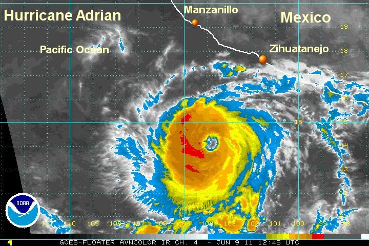
As of 5 am edt / 2 am pdt hurricane Adrian was centered near 15.0 N / 106.5 W or about 3100 miles south southwest of Manzanillo, Mexico. Movement is west northwest at about 9 mph. Top sustained winds are estimated at 145 mph (140 mph, NHC 5 am edt). Pressure estimated at 946 mb.
Hurricane Adrian will not be a direct threat to Mexico. Higher than normal swell can be expected on the western coast of Mexico and Cabo San Lucas the next few days.
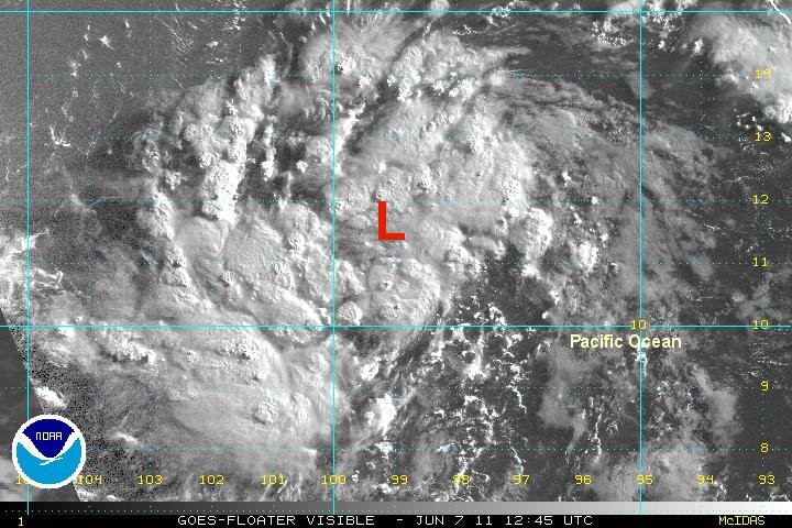
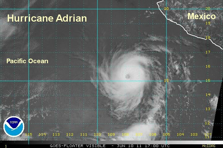
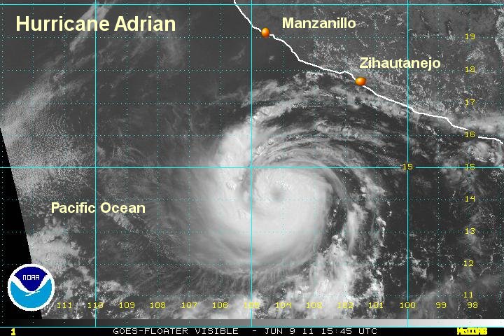
Compare Thursday's visible satellite imagery with Friday mornings satellite imagery. Notice the near perfect circular pattern by Friday morning.
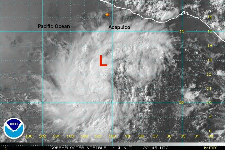
Tropicast: Thursday's Pacific Visible Satellite
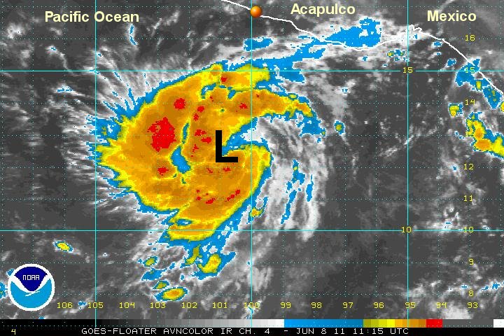
 Tropicast: Pacific I.R. Satellite
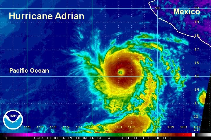