Wednesday Morning Update
Emily approaching Hispaniola
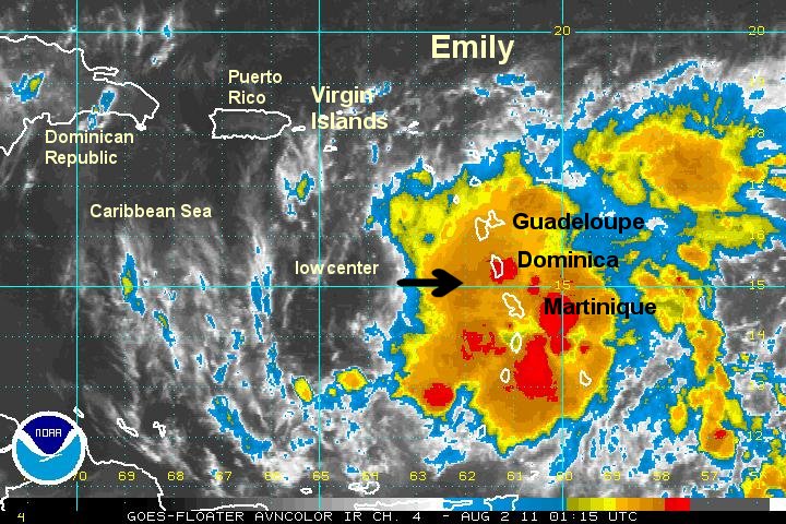
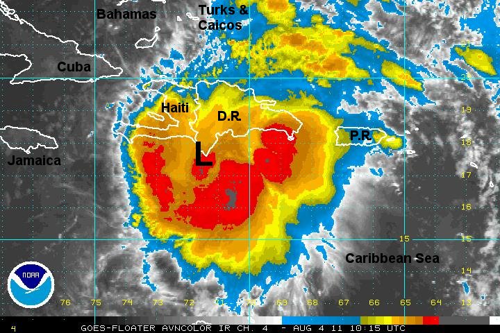
Hurricane hunter recon aircraft show that Emily has changed little since late yesterday. Pressure has not changed in almost 24 hours which is an excellent gauge of strength. Despite this, heavy rain has fallen over parts of Puerto Rico. The mountainous terrain has received over six inches of rainfall estimated by doppler radar. At this time it appears that the main impact to Hispaniola - Haiti and the Dominican Republic - will be heavy rain with flash flooding likely.
With the latest recon I feel that the maximum sustained winds are a little less than the official hurricane center estimate. 1006 mb is a fairly high pressure for sustained winds of 50 mph and the low center is being affected by westerly wind shear.

Interests in the Bahamas and eastern southeast U.S. coast should follow the progress of Emily.
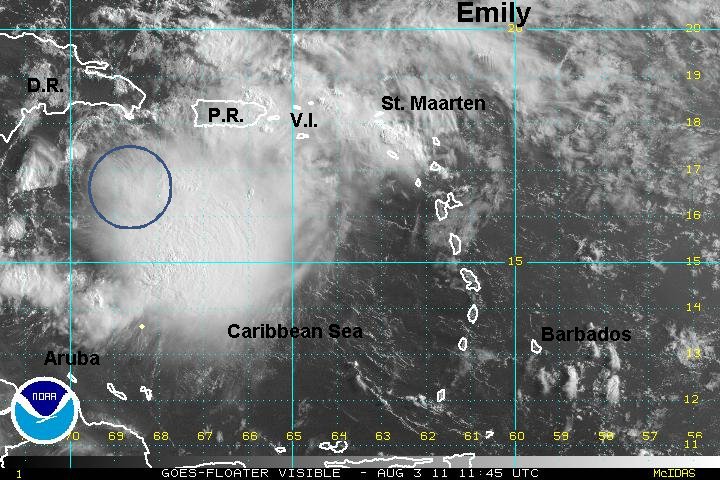
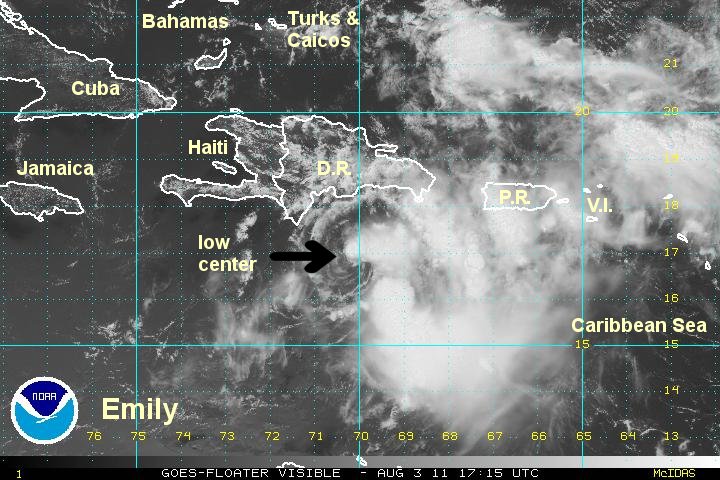
As of 8 am edt / ast Emily was centered at 16.6 N / 69.0 W or 145 miles sse Santo Domingo, Dominican Republic. It was moving west at 14 mph. Top sustained winds are estimated at 45 mph (50 mph NHC last advisory). Pressure was estimated at 1006 mb.
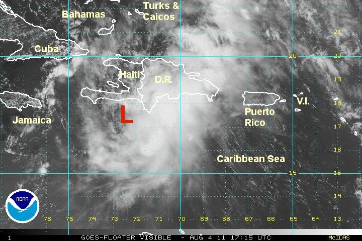
Forecasts show Emily passing over either central or western Hispaniola during the next day. The circulation of Emily could be damaged beyond repair if it crosses the central mountains. If Emily veers a little west over Haiti then the circulation could remain intact as the northernly turn is made.
Late Tuesday into Saturday Emiley should be moving northward though the central Bahamas. If Emily emerges from the central mountains of Hispaniola then it will be in a very weak state. If it emerges from Haiti, Emily could retain its tropical storm strength.
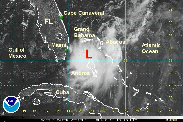
Most models at this time strengthen Emily as it departs the northern Bahamas where more favorable upper air conditions exist. A recurve east of the U.S. coast is currently predicted.

A large part of this forecast is depended on the track of Emily as it crosses Hispaniola.
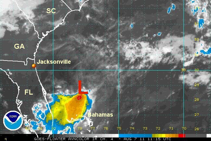
Tropicast: Visible Floater Satellite