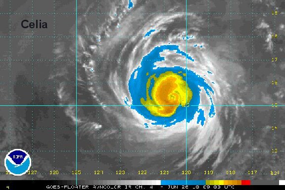
Celia weakens significantly
I.R. satellite imagery is showing significant cloud top warming. We believe that Celia is now much weaker, even though it takes time for the winds of a huricane to "spin down". The trend for weakening will likely continue as Celia moves farther and farther from mexico.
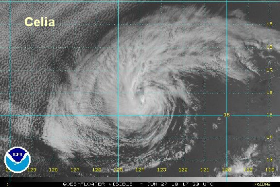
Celia is not a threat to Mexico.
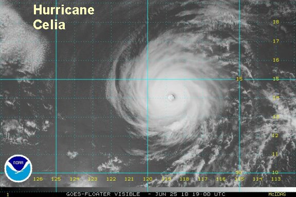
As of 4:00 pm edt / 1:00 pm pdt hurricane Celia was centered at 14.3°N / 118.8°W or about 825 miles southwest of Cabo San Lucas. Movement is to the west northwest at 13 mph. Top sustatined winds are estimated at 120 mph (NHC 135 mph).
Tropicast: Pacific Floater Visible Satellite