Monday Evening Update
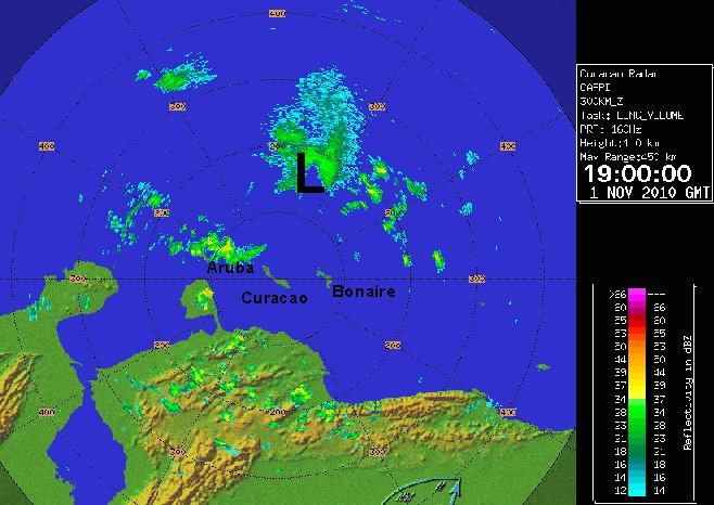
Tomas north of Aruba
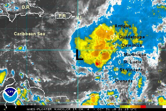
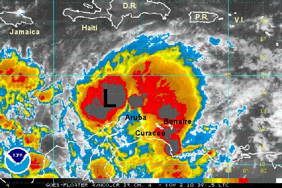
Deep convection has built over the center of circulation indicating that the weakening phase has stopped. We are in agreement with the hurricane center that arc clouds are present. This does indicate that Tomas is no more organized than earlier today. Tomas continues to fight dry air to the west and wind shear from aloft. It looked like a restrengthening phase was starting earlier with the deep convection. The strengthening has not started yet.
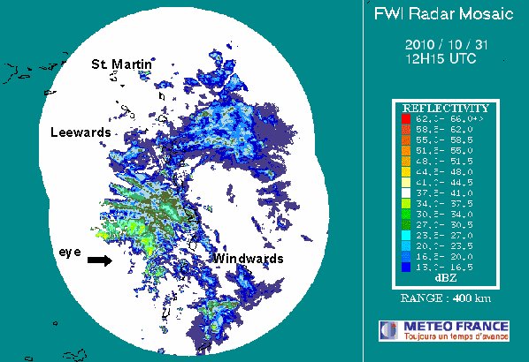
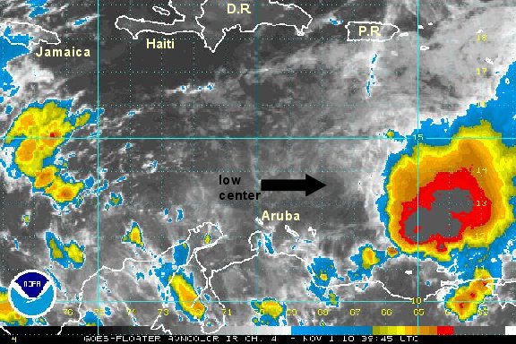
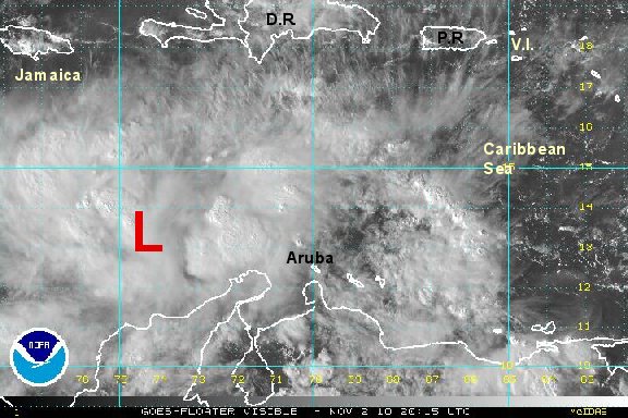
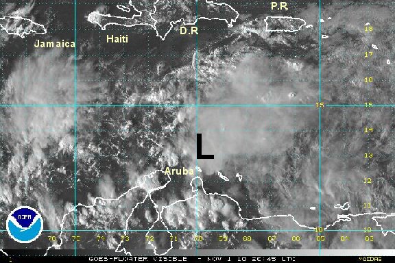
It Tomas stays weak its motion will be controlled more by the low level flow taking it farther west. Toma's presentation is still poor on the Aruba radar. BTW - this is about as close to Aruba as you will see a tropical cyclone get. Even at this distance, most of the rain / wind is well north of Aruba and not much of a concern at all.
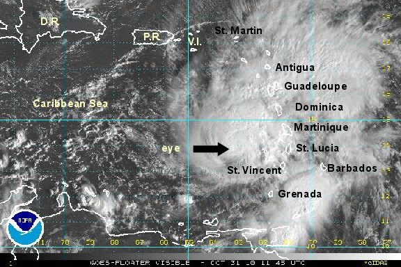
As of 5 pm edt /ast Tomas was centered near 13.4° N / 69.7° W or about 65 miles north northeast of Aruba. Top sustained winds are estimated at 45 mph (NHC 45 mph estimate - 5 pm edt advisory). Movement - west 12 mph. Pressure estimated at 1005 mb.

Tomas will continue in the south central Caribbean, then turn north toward Hispaniola by Thursday....assuming that the wind shear dies down allowing Tomas to strengthen some. IF this does not occur, Tomas will move father west than the official hurricane center forecast.
Later in the week tomas is predicted to move north and cross Hispaniola. The circulation will be badly disrupted if that happens. That would be bad news for Haiti and the Dominican Republic, and good news for the Turks and Caicos. Tomas will be fighting shear for a few more days and may stay as a tropical storm. Restrengthening is possible before reaching Hispaniola as the wind shear is predicted to relax. After this, it is predicted to move north rapidly into the Atlantic near or east of the Turks and Caicos by late Friday or Saturday.

Remember, longer range forecasts are subject to larger errors.
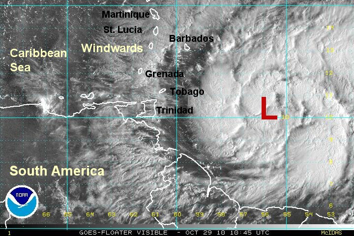
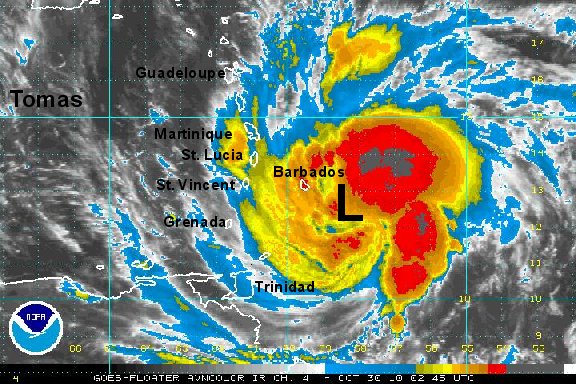
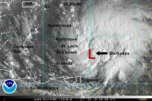
Tropicast: Visible Floater Satellite
 Tropicast: Aruba Radar