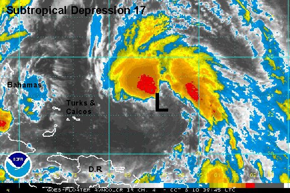
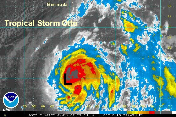
Subtropical Depression 17 east of Turks and Caicos
Models have been hinting at a subtropical low to form north of Puerto rico for days now. It has now occured as the surface low looks strong enough to be classified. Yesterday a large plume of showers and storms were developing, but the surface low was still too disorganized. This morning the low is stronger and the deep convection is wrapping around the low. Look for this system to be classified as Otto later today.
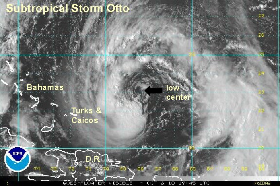
BTW - why subtropical and not tropical? This low pressure area formed from an upper air low, so it doesn't have all of the tropical characteristics one would normally find. It is possible that it could still become tropical if it sits over warm water long enough.
As of 6 am edt / ast subtropical depression 17 was centered near 22.3° N / 67.1° W or about 700 miles south southwest of Bermuda. Top sustained winds are estimated at 35 mph ( 35 mph nhc - 5 am advisory). Movement- north northwest at about 8 mph. Pressure estimated at 1001 mb.
Forecasts take this subtropical system slowly northwest, then rapidly recurve it north, then northeast along a front. It will remain east of the Turks and Caicos and south of Bermuda.
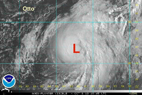
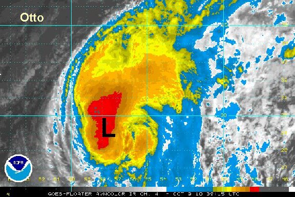
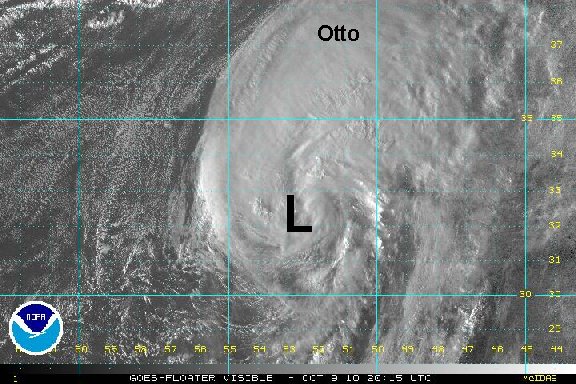
Tropicast: I.R. Floater Satellite